Counting the waves…
Counting the waves…
A refined fusion of water purity, environmental stability, and communal vibrancy for Damoy Point Beach.
View MethodologyAnalyzed via live sensors and environmental data.
Wave height, wind, and atmospheric stability.
Live footfall and crowd balance metrics.
Community reviews and curated sentiment.
“Your rubber boot sinks into rounded stones still wet from the last zodiac landing, the air sharp with krill and guano. Behind you, the British research hut at Port Lockroy flies its flag; ahead, icebergs the size of…”
Limited recent visitor reports — live OBI telemetry is your best guide for current conditions.
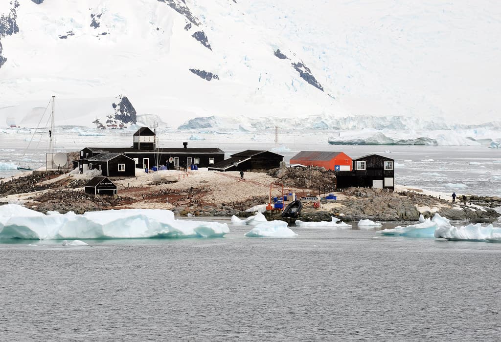
Damoy Point sits low and unassuming along the Graham Coast, a crescent of wave-worn pebbles that serves as one of the Peninsula's quieter landing zones. You step from the inflatable onto stones that click and shift underfoot, each one polished by centuries of freeze-thaw cycles. The beach itself is narrow, hemmed by glacial till and the skeletal remains of a 1970s British air facility—rusted fuel drums and a weathered Nissen hut that once served as a transit station for Twin Otters flying to Rothera.
Gentoo penguins waddle past with the indifference of commuters, their footprints stamping the frost. The bay opens westward toward Wiencke Island's serrated peaks, where hanging glaciers calve house-sized chunks into the Gerlache Strait. On calm mornings, the water turns to pewter, reflecting the inverted architecture of icebergs drifting on the current. Wind funnels down from the interior ice sheet, carrying the mineral scent of ancient snow.
Nesting birds against calving glaciers
Nissen hut and fuel drums
Iceberg slalom in calm bays
Prime Visitation
Best Weather | Less Crowds
Where it is
Damoy Point Beach
Graham Coast, Antártida e Islas del Atlántico Sur, Argentina
-64.816800°, -63.518600°
Weather
Loading…
Swell
—
Temp
Warm · Restorative
UV Index
Moderate
Wind
—
Tidal State
Last known
Max Sunlight
—
Ideal Shade
—
Jan - Dec (Peak)
Mar - Nov (Off-season)
Best Weather | Less Crowds
Select a category to load nearby places.
Unlock restaurants, luxury stays and curated maritime experiences within 2km
Swimming is extremely dangerous and not permitted at Damoy Point Beach. Water temperatures hover around freezing, causing hypothermia within minutes of immersion. The beach serves as a landing point for guided expedition visits only. Visitors must wear appropriate cold-weather gear and follow guide instructions carefully. Ice and weather conditions can deteriorate quickly, making safety protocols essential. All activities are supervised by experienced expedition staff.
Visit Damoy Point Beach between November and March during the Antarctic summer. December to February offers the most favorable conditions with longer daylight hours and slightly warmer temperatures (around 0-3°C). Early season (November) provides opportunities to see penguins nesting, while mid-season (January-February) offers better weather and whale activity. Late season (March) has fewer tourists but increasingly cold conditions and limited daylight.
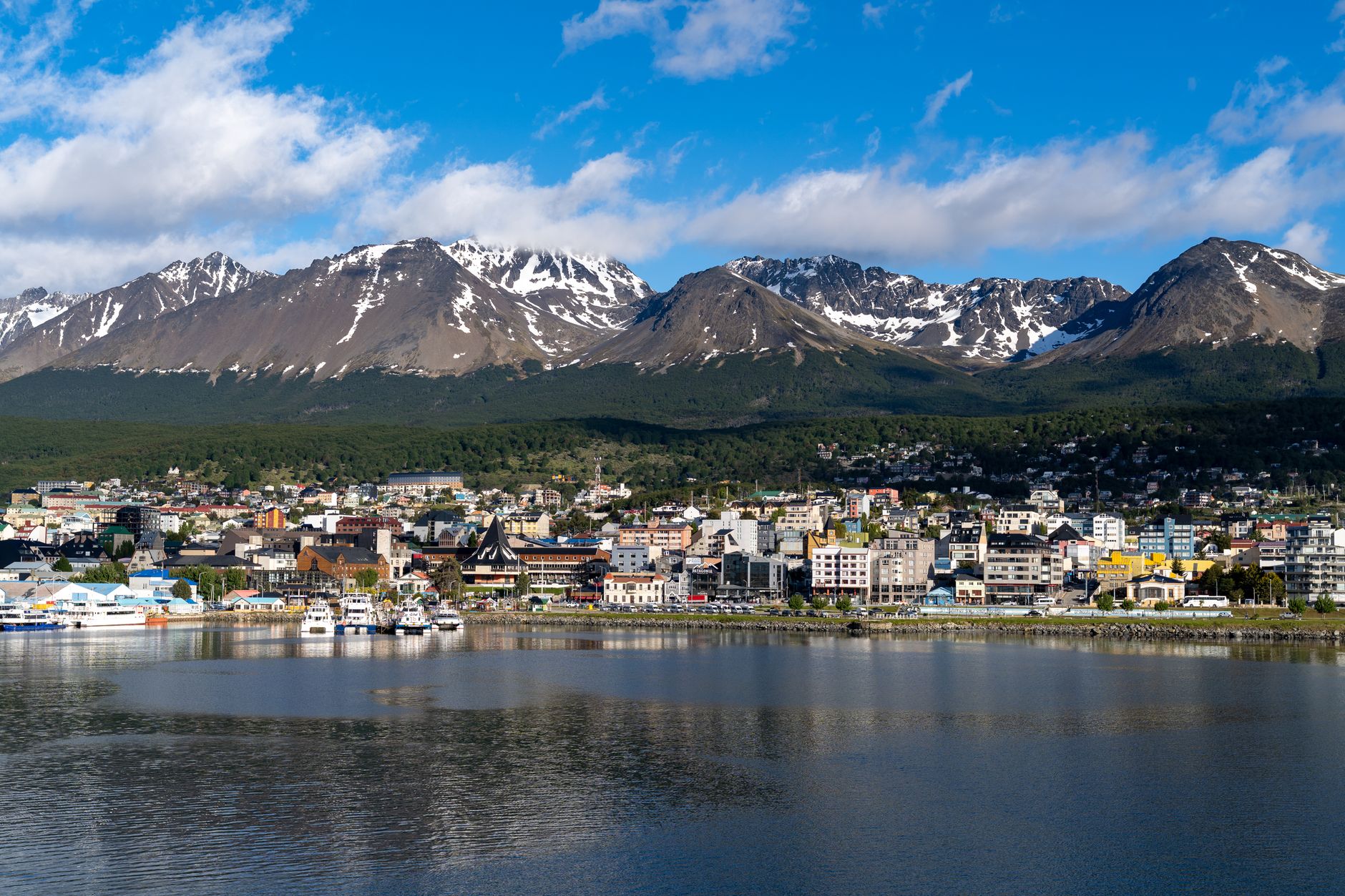
Damoy Point Beach is accessible only through organized expedition cruises departing from Ushuaia, Argentina. After a two-day Drake Passage crossing, ships navigate to the Antarctic Peninsula where zodiac boats transport passengers to shore. The beach is located near Port Lockroy and Wiencke Island, common stops on Peninsula itineraries. Landing depends on weather, ice, and permit conditions. Independent travel is impossible; all access requires cruise ship participation.
Damoy Point Beach has no facilities, accommodation, or infrastructure. A former British Antarctic Survey hut exists nearby but is not open to the public as accommodation. All visitors stay aboard their expedition cruise ships, which provide meals, lodging, and amenities. There are no bathrooms, shelters, or services ashore. Landings are brief, typically 1-2 hours, before returning to the vessel for all necessities.
Damoy Point is notable for its proximity to Port Lockroy, one of Antarctica's most visited heritage sites. The area served British Antarctic operations during the mid-20th century. The former British hut at Damoy Point represents early Antarctic logistics infrastructure. While the beach itself is a natural feature, its location along historic coastal routes used by early explorers and researchers adds cultural context to wildlife viewing opportunities.