
The beach curves in a tight crescent along Signy Island's eastern flank, hemmed by basalt cliffs streaked with lichen the color of rust and moss. Underfoot, the stones range from coal-dark to slate-gray, rounded by waves that carry fragments of icebergs calved hundreds of miles south. You'll share the shoreline with fur seals hauled out in torpid heaps, their breath visible in the subzero air, and skuas circling overhead with prehistoric patience.
“One of the southernmost accessible beaches on Earth, reachable only by expedition vessels threading the Scotia Sea.”
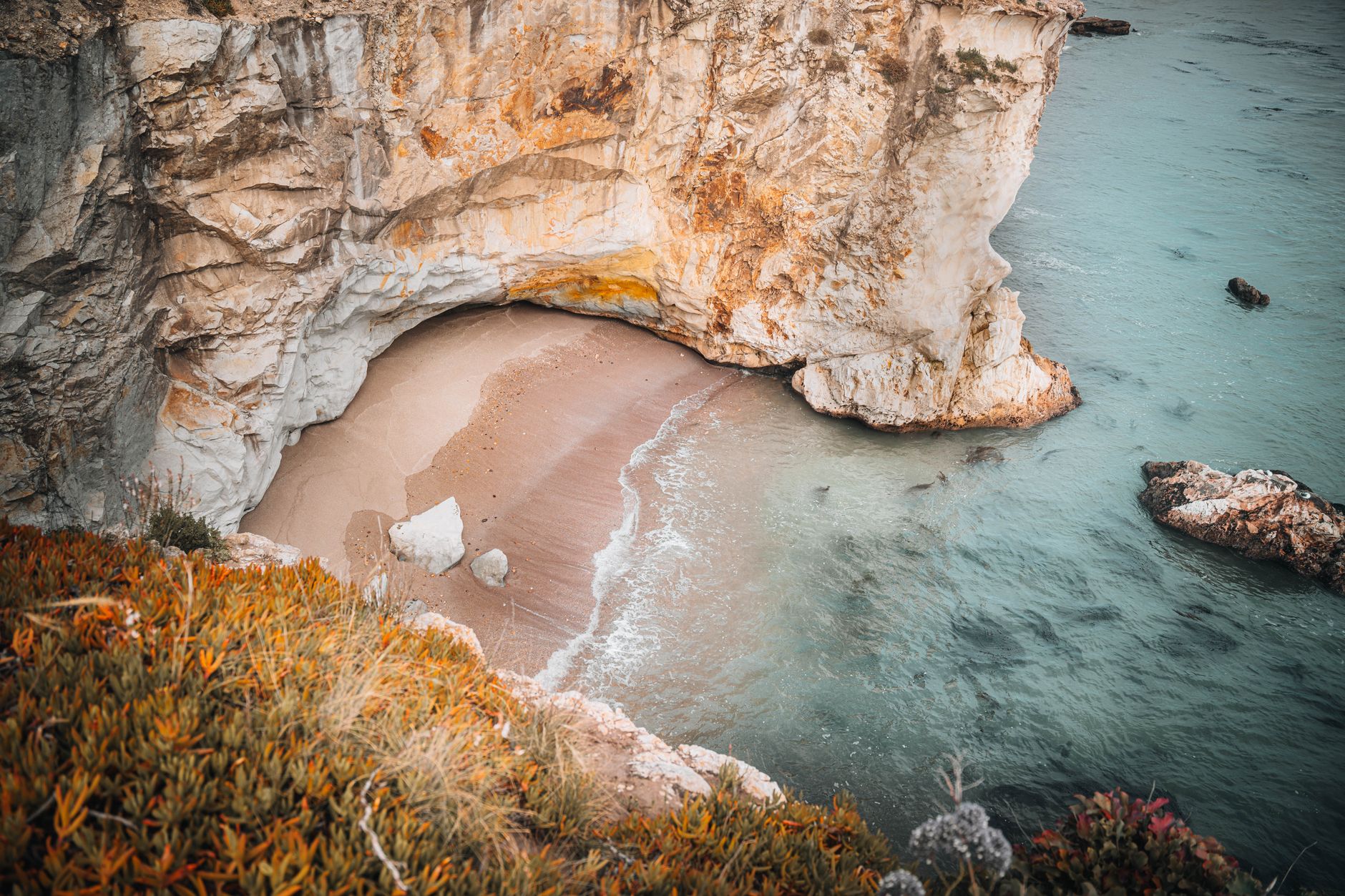
Aerial view of a serene cove with a sandy beach nestled beneath rugged cliffs, surrounded by azure water.
Access depends entirely on the research vessel or expedition ship that brought you here—no piers, no moorings, just inflatable boats and a practiced crew reading the swell. The water temperature hovers near freezing year-round, its surface marbled with krill and planktonic blooms that feed the Adélie penguins nesting in the scree above. On rare clear days, the Transantarctic Mountains etch a saw-toothed horizon to the south.
You won't linger long. Antarctic regulations and weather windows dictate tight itineraries, and the cold penetrates even expedition-grade parkas within minutes. But the cove's stillness—broken only by the knock of stones in the surf and the wheeze of seals—leaves an imprint no warmer latitude can match. This is coastline at the edge of the navigable world, where the beach exists not for leisure but as a threshold between human ambition and the continent's indifference.

