Counting the waves…
Counting the waves…
A refined fusion of water purity, environmental stability, and communal vibrancy for Playa Bahía Thetis Santa Cruz.
View MethodologyAnalyzed via live sensors and environmental data.
Wave height, wind, and atmospheric stability.
Live footfall and crowd balance metrics.
Community reviews and curated sentiment.
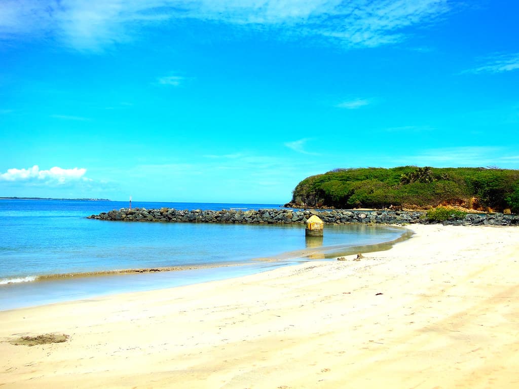
“This tucked-away cove marks the transition between mainland coast and the legendary strait separating continents. The water lies still as pooled mercury, reflecting sky shifts from pewter to copper as day ends.”
Limited recent visitor reports — live OBI telemetry is your best guide for current conditions.
The bay reveals itself only after you've committed to the final kilometers of deteriorating track, appearing suddenly as the steppe drops away to expose a half-moon of protected water that seems implausibly calm for this latitude. You're standing at one of the continent's geographical punctuation marks—the last sheltered anchorage before the Strait of Magellan's notorious currents and winds take over. Historic ships' logs mention Bahía Thetis as a final respite, and the beach still carries that sense of threshold.
The shore is a mix of coarse sand and smoothed stones, littered with sun-bleached driftwood that's traveled from Tierra del Fuego's forests and washed up here after crossing the strait. The bay faces west, which means sunset becomes the main event: light pours horizontally across water barely rippled by wind, turning the entire surface into hammered bronze. Steamer ducks paddle near shore, their stubby wings useless for flight but perfect for underwater feeding, while black-browed albatrosses cruise past the headlands, barely flapping.
 Credit: Unsplash
aerial view of city buildings near body of water during daytime
 Credit: Unsplash
a large rock sitting on top of a beach next to the ocean
Watch light transform protected water
Spot seabirds cruising headland thermals
Find Fuegian timber washed north
Prime Visitation
Anytime | Less Crowds
Where it is
Playa Bahía Thetis Santa Cruz
Cabo Vírgenes, Santa Cruz, Argentina
-52.302900°, -68.303700°
Weather
Loading…
Swell
—
Temp
Warm · Restorative
UV Index
Moderate
Wind
—
Tidal State
Last known
Max Sunlight
—
Ideal Shade
—
Jan - Dec (Peak)
Mar - Nov (Off-season)
Anytime | Less Crowds
Select a category to load nearby places.
Unlock restaurants, luxury stays and curated maritime experiences within 2km
While the bay offers calmer waters compared to exposed coastlines, swimming is still not advisable. Water temperatures remain very cold throughout the year, typically between 6-10°C, which poses hypothermia risks. The beach has no lifeguards or emergency services due to its remote location. The calm designation refers to wave conditions rather than swimming suitability. Strong winds can arise suddenly in this region. Visitors should enjoy the beach for its scenic qualities and wildlife observation rather than water activities.
Visit during the austral summer (December-March) for the most favorable weather conditions, with temperatures ranging from 10-18°C and extended daylight hours. The beach remains uncrowded throughout the year due to its remote location near Cabo Vírgenes. Wildlife enthusiasts may prefer September through March when penguins and marine birds are more active in the region. Sunset viewing is spectacular year-round, though winter brings harsh winds and shorter days. Always check weather forecasts before traveling to this isolated area.
Access requires a journey from Río Gallegos, approximately 130 kilometers to the north. You'll need a reliable 4x4 vehicle to navigate the gravel Provincial Route 1 heading toward Cabo Vírgenes. The roads can be rough and weather-dependent, with conditions deteriorating during rain. No public transportation serves this remote area. Consider joining a guided tour from Río Gallegos, which often combines beach visits with the nearby penguin reserve. Allow several hours for the round trip and bring emergency supplies.
This remote bay beach has no commercial facilities, restaurants, or accommodations in the immediate vicinity. Río Gallegos, over 100 kilometers away, is the nearest town with hotels, restaurants, and supplies. Most visitors explore this beach as part of a long day trip from Río Gallegos. Pack sufficient food, drinking water, and snacks for your visit. If camping appeals to you, ensure you're prepared for Patagonian conditions and check local regulations regarding camping in this coastal area.
The bay's sheltered position creates unusually calm waters for this windswept region, offering a peaceful contrast to the area's typically rough coastline. Its proximity to Cabo Vírgenes and the Strait of Magellan entrance gives it significant geographic importance. The beach provides opportunities to observe the transition between Atlantic coastal ecosystems and sub-Antarctic environments. The dramatic sunset views across the bay, combined with the area's profound isolation, create an otherworldly atmosphere. Wildlife sightings, including marine birds and occasional sea lions, add to its appeal.
Photos