Counting the waves…
Counting the waves…
A refined fusion of water purity, environmental stability, and communal vibrancy for Burning Palms Beach.
View MethodologyAnalyzed via live sensors and environmental data.
Wave height, wind, and atmospheric stability.
Live footfall and crowd balance metrics.
Community reviews and curated sentiment.
“You'll earn this beach. The Figure Eight Pools trail deposits you onto golden sand hemmed by rust-streaked cliffs, where southerly swells peel across a rocky shelf and the only footprints are from this morning's tide.…”
Limited recent visitor reports — live OBI telemetry is your best guide for current conditions.
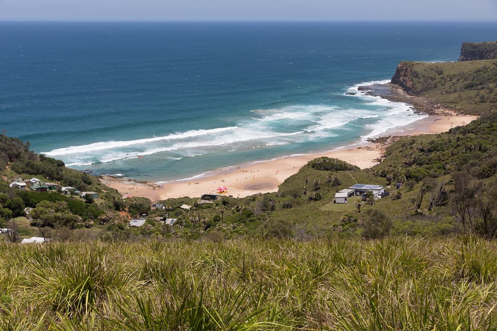
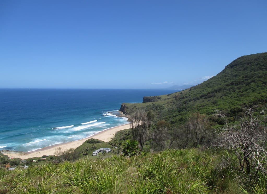
The track down to Burning Palms begins innocuously enough—a signed junction off the Coast Track, winding through coastal heath where banksias lean into the salt wind. Then the sandstone staircase drops, switchbacking past rock platforms and overhangs where Aboriginal middens mark millennia of habitation. Your thighs will remember this descent tomorrow. By the time you reach the sand, you've fallen into a different world: a crescent of beach pinned between headlands, where Pacific swells wrap around offshore reefs and detonate against the southern rocks in white plumes.
The beach takes its name from the cabbage-tree palms that cling to the gully behind the sand, their trunks scarred black from bushfires that periodically sweep through this corner of Royal National Park. On most weekdays, you'll share the sand with fewer than a dozen others—serious surfers hauling boards down the trail, photographers chasing the afternoon light on the cliffs, hikers refueling before the climb back to Garie or Otford. The water runs cold year-round, fed by currents that sweep up from the Southern Ocean, and the shore break can be punishing when the swell picks up.

Credit: FlickrReef Break Sessions
Credit: FlickrCoast Track Link
Left-handers off southern rocks
Continue north toward Marley Beach
Golden sandstone hour before sunset
Where it is
Burning Palms Beach
Royal National Park, New South Wales, Australia
-34.159400°, 151.067300°
Weather
Loading…
Swell
—
Temp
Warm · Restorative
UV Index
Moderate
Wind
—
Tidal State
Last known
Max Sunlight
—
Ideal Shade
—
Jan - Dec (Peak)
Mar - Nov (Off-season)
Historical data suggests peak visibility and stable sea temperatures occur during the prime visitation window.
Select a category to load nearby places.
Unlock restaurants, luxury stays and curated maritime experiences within 2km
Burning Palms Beach is unpatrolled and considered dangerous for swimming due to strong currents, rips, and unpredictable surf conditions. The beach is more suitable for experienced surfers than casual swimmers. There are no lifeguards, emergency facilities are limited, and the remote location means help is far away. If you do enter the water, never swim alone, stay close to shore, and be extremely cautious. Always check conditions before your visit and avoid swimming after heavy rain when water quality deteriorates.
Burning Palms Beach can be visited year-round, with each season offering different experiences. Spring and autumn provide mild temperatures ideal for hiking, while summer offers warm weather but can be crowded and hot on the exposed coastal track. Winter brings cooler conditions and potentially bigger surf for experienced surfers. Early morning visits are recommended to avoid afternoon heat and enjoy calmer conditions. Weekdays are generally quieter than weekends. Always check weather forecasts before hiking, as the track can be challenging in rain or extreme heat.
Burning Palms Beach is accessed via a steep 3-4 kilometre return hike from Otford Lookout on Lady Wakehurst Drive. Park at the Otford Lookout car park, which has limited spaces and can fill quickly on weekends. From Sydney, drive approximately 50 kilometres south. There's no public transport directly to the trailhead, though you can catch a train to Otford Station and walk about 2 kilometres to the lookout. The hiking track descends roughly 200 metres through coastal forest and is steep and challenging on the return climb.
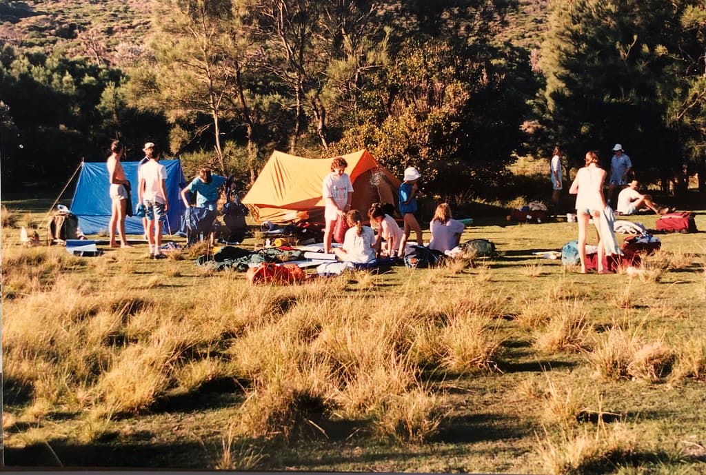
Burning Palms Beach has no facilities whatsoever—no toilets, showers, cafes, or shops. You must bring all food, water, and supplies with you. The nearest amenities are in Otford or Stanwell Park, several kilometres away. There's a basic camping area behind the beach for permitted overnight stays, but it's extremely basic with no facilities. Pack out all rubbish, bring plenty of drinking water (at least 2 litres per person), sun protection, and snacks. The nearest accommodation and restaurants are in coastal towns like Stanwell Park or Wollongong.
The name "Burning Palms" reportedly comes from the bangalay palms (Livistona australis) that grow in the area. These Australian native palms can develop a reddish-brown colour on their fronds and trunks, particularly when stressed by coastal conditions, giving them a 'burnt' appearance. The beach has been known by this name for over a century. The dramatic sandstone cliffs, isolated location, and lush vegetation surrounding the beach create a striking landscape that makes it one of Royal National Park's most photographed and rewarding destinations for those willing to make the challenging hike.
Photos