
Counting the waves…
Counting the waves…
A refined fusion of water purity, environmental stability, and communal vibrancy for Bickerton Island Beach.
View MethodologyAnalyzed via live sensors and environmental data.
Wave height, wind, and atmospheric stability.
Live footfall and crowd balance metrics.
Community reviews and curated sentiment.
“You'll motor across the Gulf of Carpentaria to reach this secluded crescent, where ochre sandstone headlands cradle a ribbon of white sand. The water laps warm and shallow, perfect for wading with children, while Torres…”
Limited recent visitor reports — live OBI telemetry is your best guide for current conditions.
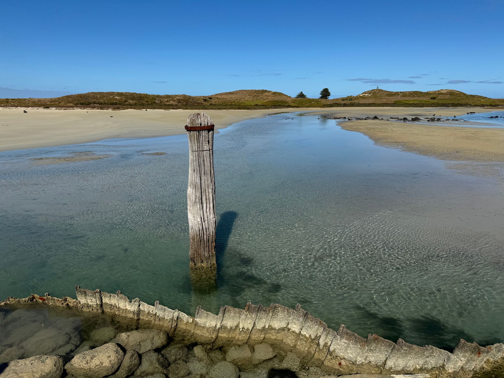
The twenty-minute boat ride from Nhulunbuy deposits you on a beach that refuses to appear on most travel itineraries. Bickerton Island Beach curves gently between rust-colored escarpments, their weathered faces glowing orange in the afternoon sun. The sand here is fine and pale, still cool under your feet even at midday, and the tide retreats so far you can walk a hundred meters out across rippled flats dotted with small pools.
You'll need to arrange passage through local operators who know the tidal windows and seasonal conditions—this coast belongs to traditional owners, and access follows cultural protocols. Once here, the shallow bay invites unhurried swimming, its bathwater warmth a shock if you're accustomed to southern surf. Children drift on foam noodles while you scan the treeline for wallabies emerging at dusk. The isolation feels complete yet comfortable.
Credit: PixabayWade the Shallows
Credit: PixabayPhotograph Red Cliffs
Warm water, gentle for kids
Ochre stone against blue water
Explore exposed tidal flats
Where it is
Bickerton Island Beach
Nhulunbuy, Northern Territory, Australia
-11.833300°, 136.514000°
Weather
Loading…
Swell
—
Temp
Warm · Restorative
UV Index
Moderate
Wind
—
Tidal State
Last known
Max Sunlight
—
Ideal Shade
—
May - Sep (Peak)
Jan - Dec (Off-season)
Historical data suggests peak visibility and stable sea temperatures occur during the prime visitation window.
Select a category to load nearby places.
Unlock restaurants, luxury stays and curated maritime experiences within 2km
Swimming conditions at Bickerton Island Beach require caution, particularly during the wet season (November-April) when dangerous marine stingers, including box jellyfish, are present in Northern Territory waters. Saltwater crocodiles also inhabit coastal areas throughout the region, making swimming potentially hazardous year-round. The beach is remote with no lifeguard services or safety equipment. Always check with local authorities in Nhulunbuy about current conditions, avoid entering the water during stinger season, and stay alert for crocodile warning signs before considering any water activities.
The dry season from May to October offers the most comfortable conditions for visiting Bickerton Island Beach, with lower humidity, minimal rainfall, and pleasant temperatures averaging 25-32°C. This period also coincides with reduced marine stinger activity, though crocodile caution remains necessary. The wet season (November-April) brings high humidity, heavy rainfall, and potential cyclones, which can make access challenging and increase wildlife hazards. For optimal weather and accessibility, plan your visit between June and August when conditions are most reliable and outdoor exploration is most enjoyable.
Reaching Bickerton Island Beach requires careful planning as it's located on Bickerton Island in the Gulf of Carpentaria, accessible only by boat or chartered aircraft from Nhulunbuy. The island is part of Aboriginal land, and visitors typically need permits and should arrange access through local tour operators or Indigenous land councils. There are no formal roads or parking facilities on the island itself. Most visitors arrive via organized tours or private boat charters. Contact the Nhulunbuy visitor centre or local tour operators for current access requirements and transportation options.
Bickerton Island Beach has no commercial facilities, amenities, or accommodation directly on-site, reflecting its remote and unspoiled nature. Visitors must be completely self-sufficient, bringing all food, water, and supplies. The nearest services are in Nhulunbuy on the mainland, approximately 30 kilometers away, where you'll find supermarkets, restaurants, fuel, and accommodation options ranging from hotels to caravan parks. If planning an extended visit to the island, arrange camping permits in advance and prepare for wilderness conditions with no phone coverage, fresh water, or emergency services readily available.
Yes, permits are generally required to visit Bickerton Island Beach as the island is Aboriginal land under the Northern Land Council jurisdiction. Access regulations help protect both the cultural significance and pristine environment of the area. Visitors should contact the Northern Land Council or local Indigenous land management organizations well in advance to understand current permit requirements, associated fees, and any restrictions. Some tour operators from Nhulunbuy handle permits as part of their packages. Unauthorized visits are not permitted, and respecting Indigenous land ownership and cultural protocols is essential.
Photos