

The barrier beach at Plantation Creek doesn't perform for crowds. Instead, it conducts a quiet lesson in sediment transport, tidal flux, and the collaboration between fresh water and saltwater. You'll walk along sand tongues that weren't there last month, threading between the creek's braided channels as they empty into the Coral Sea. Terns and oystercatchers work the mudflats, probing for soldier crabs while you trace the high-water wrack line—a ribbon of seagrass, driftwood, and pumice that maps the last king tide.
“A rare chance to witness a barrier beach actively reshaping itself at a creek mouth, offering textbook-perfect coastal geomorphology in real time.”
 Credit: Flickr
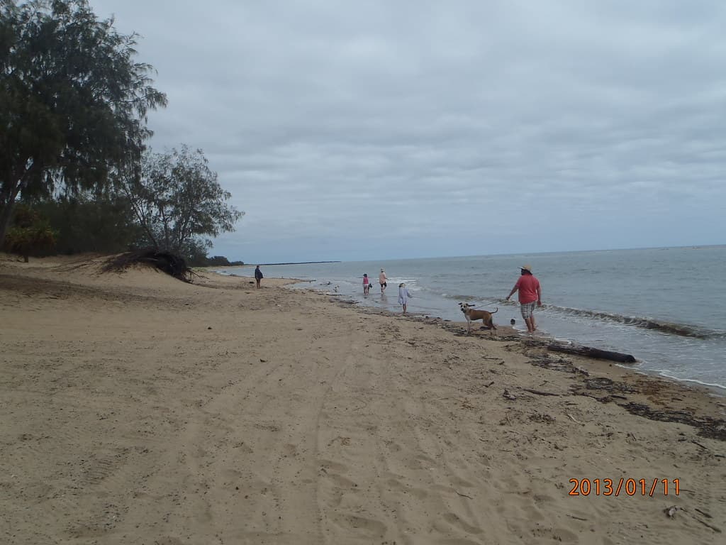
Plantation Creek — photo by Witness King Tides
This is the Burdekin Coast stripped of polish: no lifeguard towers, no gelato stands, just the mechanics of a living shoreline. The creek mouth migrates seasonally, pushed north or south by longshore drift, and after heavy rain the water runs tea-dark with tannins from upstream paperbarks. You might share the sand with a lone fisherman casting for bream, but more often you'll have only your footprints.
Timing matters less here than curiosity. Low tide exposes sandbars you can wade to; high tide presses the sea against the vegetated dune scarp. Bring water, shade, and boots that handle both wet sand and ankle-deep creek crossings. The beach teaches you to read landscapes in flux, where the map redraws itself and the coast remains a work in progress.


