
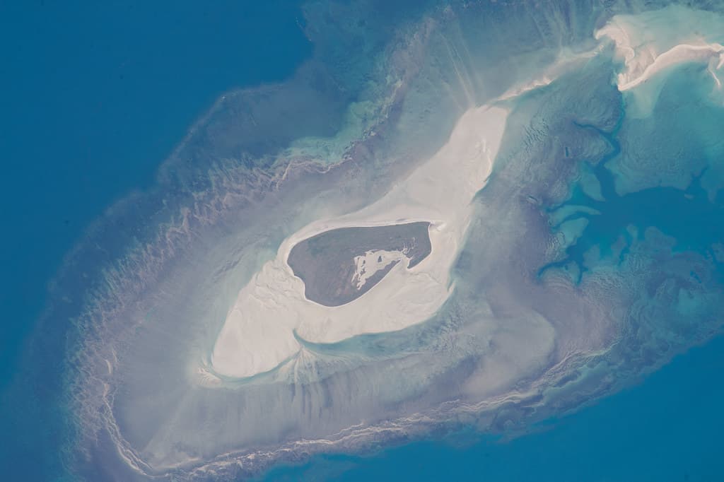
You arrive covered in bulldust, transmission rattling from weeks of bone-jarring track, and the first thing you notice isn't the beach itself but the sharp triangular marker standing sentinel where the continent gives up. The sand here is coarse, strewn with driftwood bleached silver by relentless sun, and the water churns in shades of olive and pewter where the Arafura Sea collides with the Gulf of Carpentaria. It's not picture-postcard turquoise—this is working water, tidal and restless.
“This is mainland Australia's northernmost point—the geographic full stop where two seas meet and the continent ends.”
 Credit: Flickr
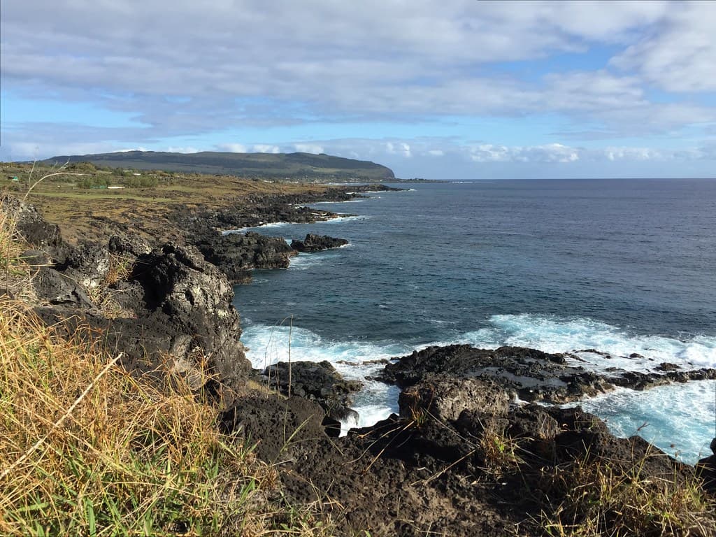
West Coast of Rapa Nui (Easter Island), Chile, Polynesia, Oceania.
You wade in during low tide, feeling mud suck at your ankles before firmer sand appears. Mangroves fringe the eastern shore, their roots twisted like arthritic fingers. Most visitors don't swim long; they're here for the pilgrimage, not the paddle. You'll see them posing beneath the red-and-white Cape York sign, then scrambling over volcanic rock to the actual tip, where waves slap from opposite directions.
The drive out demanded everything your vehicle had—creek crossings, deep sand, isolation that made your satellite phone feel like a talisman. Standing here, you understand why. This beach doesn't coddle. It marks an ending and a beginning, wind pressing against your chest, the weight of distance in every direction. You've reached the place where maps run out of mainland, and that alone makes the corrugations worthwhile.


