
The skipper cuts the engine as Memory Cove opens before you—a horseshoe of bone-white sand hemmed by weathered granite and stands of coastal sheoak that hiss in the westerlies. There are no roads here, no amenities beyond a handful of basic campsites managed by the Department for Environment and Water. You've crossed the boundary into Memory Cove Wilderness Protection Area, 32,000 hectares of roadless coastline where the only signs of human presence are the foundations of a nineteenth-century whaling station, now just lichen-stained stones half-buried in sand.
“One of the few remaining stretches of South Australian coast reachable only by water, preserving true wilderness character.”
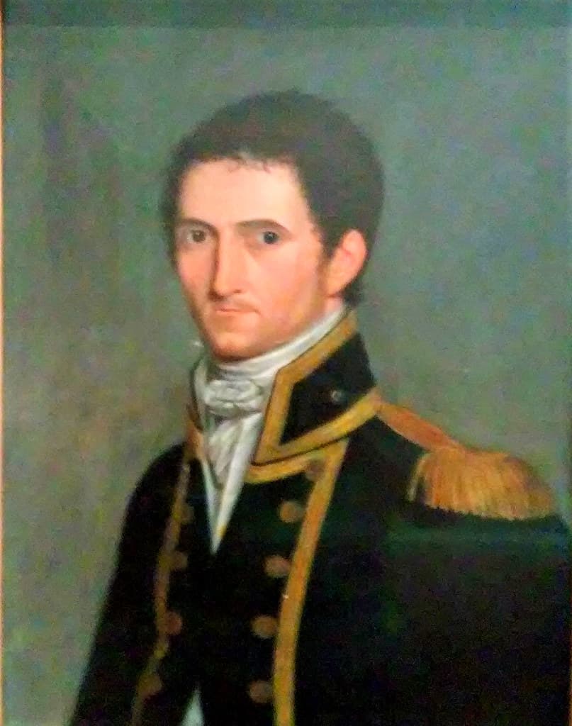 Credit: Flickr
Adelaide. In the Art Gallery of South Australia a portrait of Captain Matthew Flinders who charted the coast line of South Australia in 1802.
Beneath the surface, bull kelp sways in the swell and old-man wrasse glide through forests of golden kelp. You'll spot Port Jackson sharks resting on sandy patches between granite ledges, and if you time your visit between May and October, long-nosed fur seals dart past with unnerving speed, close enough that you can see the whiskers on their whiskered snouts. The water here holds a chill year-round—15°C in winter, 20°C in high summer—but visibility often exceeds twenty meters.
Above the tideline, the only sounds are waves folding over sand and the territorial squawks of pied oystercatchers. Matthew Flinders named this cove in 1802 after losing eight crew members to thirst on nearby Thistle Island; their memory lingers in the stillness, in the way light slants through the sheoak canopy at dusk, in the absolute absence of the twenty-first century.


