
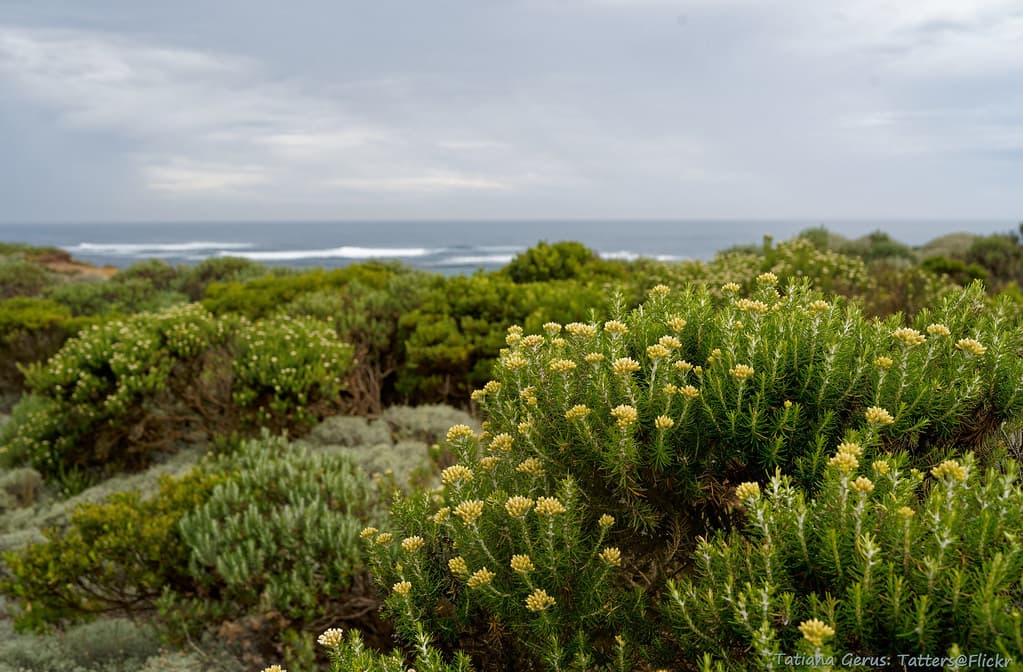
Stand at the timber viewing platform and count the stacks: depending on tide and light, you'll spot anywhere from eight to twelve limestone formations breaking the surface. The wind here carries a briny edge sharp enough to make your eyes water, and the boom of waves hitting hollowed arches reverberates through the boardwalk beneath your feet. This stretch of the Shipwreck Coast earned its name honestly—more than six hundred vessels foundered on these reefs between 1836 and 1932, their iron bones still visible at low tide.
“The only mainland viewpoint where you can watch limestone islands actively crumbling into the Southern Ocean in real time.”
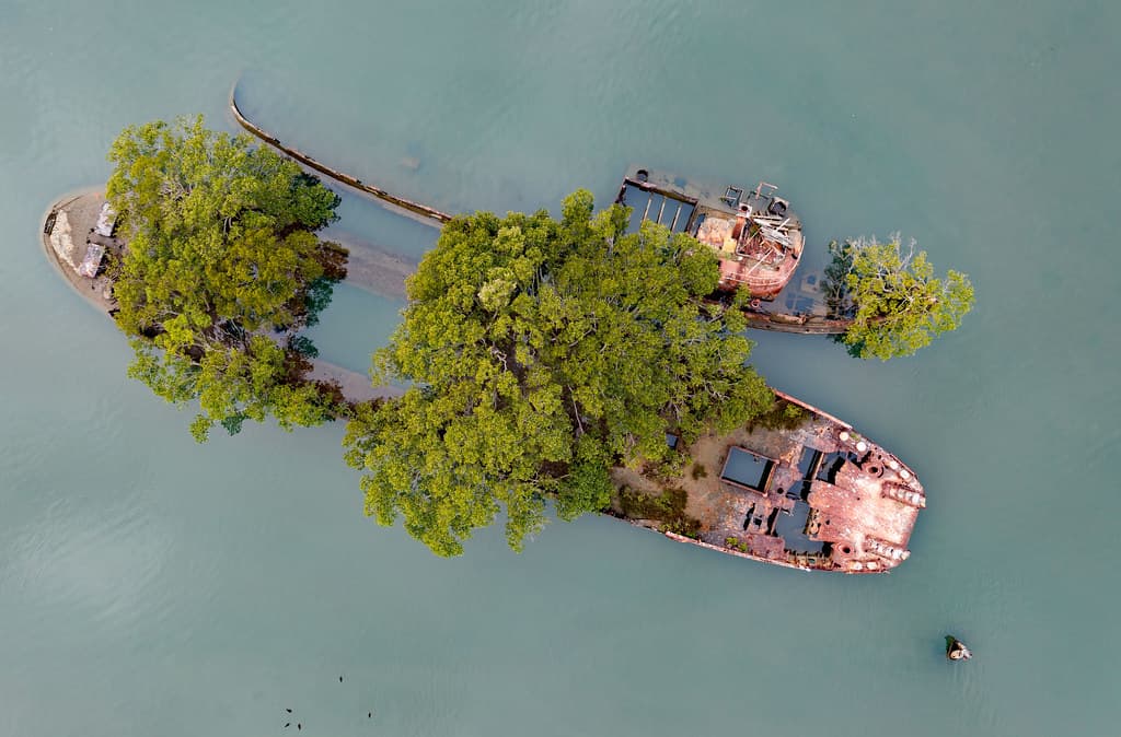 Credit: Flickr
Barge island for nature's return #marineexplorer
The islands themselves shift in character throughout the day. Morning fog clings to their bases, turning them into floating apparitions. By midday, the stratified sandstone reveals bands of ochre, rust, and cream—sediment laid down grain by grain over twenty million years. Late afternoon is when photographers elbow for position: the western sun ignites the cliff faces into something molten.
You won't swim here—rip currents and submerged reef make the water treacherous—but the coastal walking track links this viewpoint to the Twelve Apostles, three kilometers east. Wear layers; the wind off the Antarctic has no patience for flimsy windbreakers. Between May and September, southern right whales calve in the bay, their breaching visible from shore.


