
Counting the waves…
Counting the waves…
A refined fusion of water purity, environmental stability, and communal vibrancy for Playa Nombre de Jesús.
View MethodologyAnalyzed via live sensors and environmental data.
Wave height, wind, and atmospheric stability.
Live footfall and crowd balance metrics.
Community reviews and curated sentiment.
“Most drivers blow past on their way to Conchal's famous shells or Brasilito's restaurants. Their loss: this beach delivers consistent reef breaks, sand the color of brown sugar, and the particular appeal of a coast that…”
Limited recent visitor reports — live OBI telemetry is your best guide for current conditions.
Nombre de Jesús sprawls along the Cabo Velas peninsula's western shore, more functional than photogenic. The sand is coarse and tan, tracked with tire marks from fishing trucks and the occasional motorcycle taxi. Waves hit the outer reef with workmanlike consistency, peeling right and left depending on swell direction. On good days, you'll find a handful of surfers trading sets, locals mostly, who know exactly where the channel cuts through the reef and which tides bring the cleanest conditions.
The beach runs for nearly a kilometer, backed by scrubby vegetation and the occasional concrete house painted in sun-faded pastels. There's a ramshackle tienda near the southern access point where a woman sells cold beer and Coke from a cooler, plastic chairs arranged in the shade of a corrugated metal awning. That's the extent of amenities. The water is the Pacific's standard gray-green, nothing turquoise or jewel-toned, honest about its mineral content and currents. Swimming is possible but secondary—this is fundamentally a surf beach, shaped by the reef structure and swell exposure.
a view of a beach through the branches of a tree
an aerial view of the coastline of a tropical island
Consistent rights and lefts
Functional, vehicle-accessible shore
Cold Imperials in plastic chairs
Prime Visitation
Less Crowds
Where it is
Playa Nombre de Jesús
Cabo Velas, Guanacaste, Costa Rica
10.370600°, -85.825700°
Weather
Loading…
Swell
—
Temp
Warm · Restorative
UV Index
Moderate
Wind
—
Tidal State
Last known
Max Sunlight
—
Ideal Shade
—
Jan - Dec (Peak)
May - Nov (Off-season)
Historical data suggests peak visibility and stable sea temperatures occur during the prime visitation window.
Select a category to load nearby places.
Unlock restaurants, luxury stays and curated maritime experiences within 2km
Swimming conditions at Playa Nombre de Jesús vary depending on tide and season. The beach faces open Pacific waters and can experience moderate waves and currents, making it less ideal for inexperienced swimmers or young children. Surfers appreciate the waves, but casual swimmers should exercise caution and stay close to shore. There are no lifeguards on duty. During dry season, conditions are generally calmer. Always observe the ocean for several minutes before entering, avoid swimming alone, and ask locals about current conditions if possible.
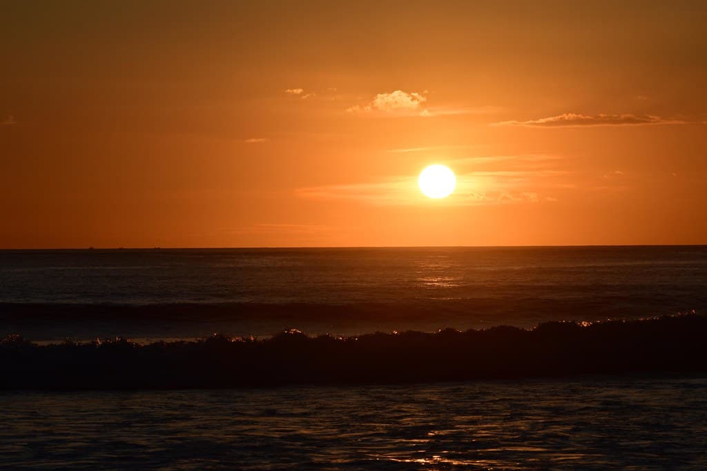
The dry season from December to April offers the best weather with sunny days and less humidity, though the beach remains relatively uncrowded year-round. For surfing, the green season (May-November) brings more consistent swells. Early morning provides the calmest conditions for swimming and the best wildlife viewing opportunities. Late afternoon rewards visitors with stunning Pacific sunsets. Weekdays are quieter than weekends. Because this beach sees fewer tourists overall, you can enjoy peaceful visits even during peak Costa Rica travel months of February and March.
Playa Nombre de Jesús is located between Playa Conchal and Playa Zapotillal on the Cabo Velas peninsula. Access requires navigating unpaved roads that can be challenging in rainy season; a 4WD vehicle is strongly recommended. From Huacas or Brasilito, follow signs toward the Cabo Velas area and ask locals for specific directions as signage is limited. The beach is less developed with no clear commercial parking, so look for informal parking areas. Its off-the-beaten-path location is precisely what keeps it quiet and uncrowded.
Playa Nombre de Jesús has virtually no development, so come prepared with food, water, and supplies. The nearest services are in Brasilito or Huacas, about 15-20 minutes away, where you'll find sodas, small restaurants, and basic accommodations. For more options, Flamingo and Tamarindo offer extensive dining and lodging choices within 30 minutes' drive. Consider packing a picnic or stopping at a grocery store beforehand. A few private homes and vacation rentals exist in the general area, but this is not a tourist-service zone.
Most first-time visitors bypass Playa Nombre de Jesús because it's less accessible, lacks amenities, and requires local knowledge to find. However, those who make the effort discover an authentic, undeveloped Costa Rican beach with excellent surf potential and genuine solitude. You'll likely share the sand with only a handful of locals or adventurous travelers. The natural beauty remains unspoiled by resort development, offering photography opportunities and peaceful beach time. If you value space, authenticity, and don't mind basic conditions, this hidden gem rewards the extra effort required to reach it.
Photos