

Counting the waves…
Counting the waves…
A refined fusion of water purity, environmental stability, and communal vibrancy for Playa Garza.
View MethodologyAnalyzed via live sensors and environmental data.
Wave height, wind, and atmospheric stability.
Live footfall and crowd balance metrics.
Community reviews and curated sentiment.
“You reach Playa Garza by boat, crossing the broad mouth of the Térraba through water that shifts from river-brown to ocean-blue in a single stroke. The beach sprawls empty, backed by mangroves, facing Isla Garza…”
Limited recent visitor reports — live OBI telemetry is your best guide for current conditions.
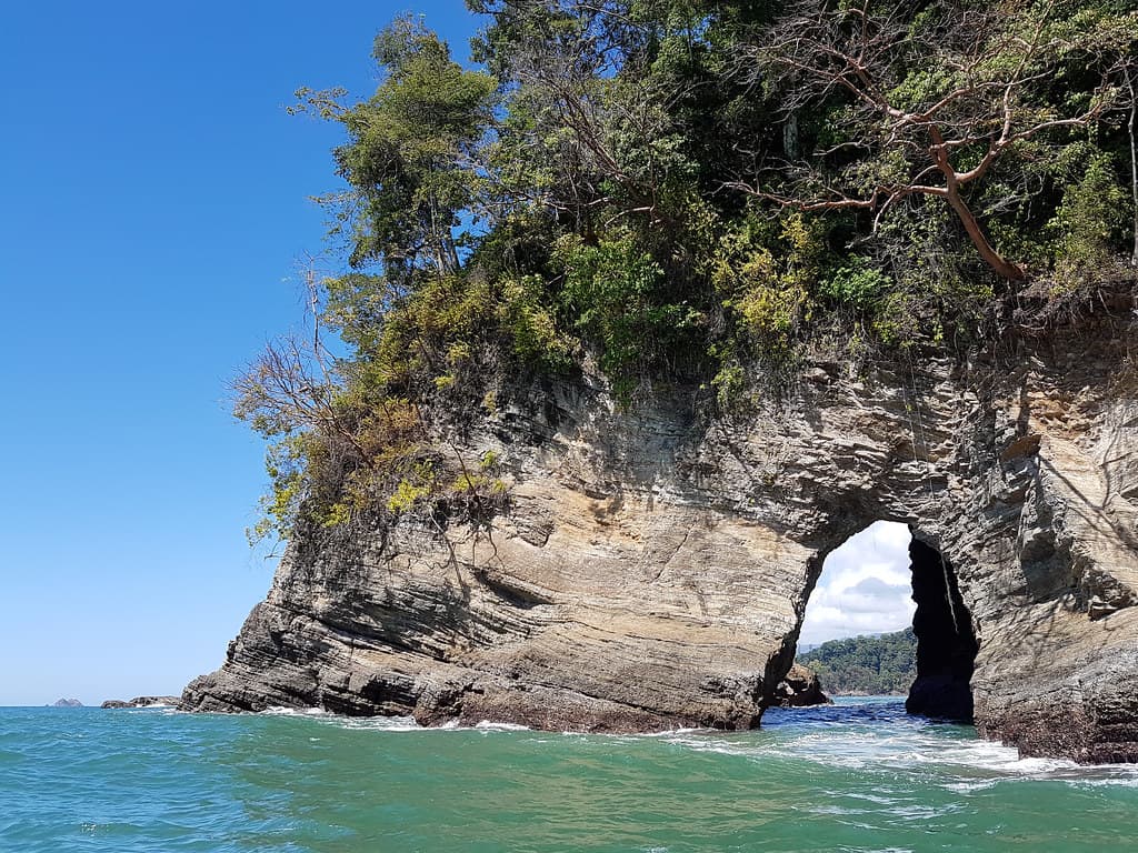
Playa Garza is remote by design. No road reaches it; the only access is by boat from Coronado or Sierpe, crossing the Térraba River's massive estuary where freshwater and saltwater churn in tidal confusion. The beach itself is long and featureless, a strip of coarse sand the color of wet cement, scattered with driftwood logs bleached white by sun and salt. Offshore, Isla Garza rises like a fortress, its slopes cloaked in dense forest. The island blocks the worst of the Pacific's fury, so the waves here are manageable, though the rip currents near the river mouth demand respect.
You'll have the beach almost entirely to yourself. Fishermen sometimes pull their boats onto the sand to mend nets or gut the morning's catch. A pair of scarlet macaws might cross overhead, their calls sharp against the rumble of surf. The sand is too rough for comfortable barefoot walking, so you'll keep your sandals on, stepping over kelp tangles and the occasional piece of marine debris carried in by the tide. The wind is constant, sweeping off the ocean and bending the palms inland.
Tropical island lagoon from above
Paddle to the offshore island
Sky and water meeting wide
Miles of empty sand
Prime Visitation
Less Crowds
Where it is
Playa Garza
Punta Mala, Puntarenas Province, Costa Rica
9.035200°, -83.646700°
Weather
Loading…
Swell
—
Temp
Warm · Restorative
UV Index
Moderate
Wind
—
Tidal State
Last known
Max Sunlight
—
Ideal Shade
—
Jan - Dec (Peak)
May - Nov (Off-season)
Historical data suggests peak visibility and stable sea temperatures occur during the prime visitation window.
Select a category to load nearby places.
Unlock restaurants, luxury stays and curated maritime experiences within 2km
Playa Garza's location by the Térraba River mouth and estuary creates unique conditions that require caution. River-mouth beaches can have unpredictable currents, variable water quality, and changing conditions based on tides and river flow. The mixing of river and ocean waters can create strong currents unsuitable for swimming. This beach is better suited for scenic enjoyment, sunset watching, and nature observation than swimming. If you do enter the water, stay in very shallow areas, be aware of currents, and avoid swimming near the main channel where flows are strongest.
Playa Garza remains remarkably uncrowded throughout the year due to its remote location near the Térraba River mouth. For the quietest experience, visit during the green season (May-November) on weekdays, though even peak dry season sees minimal visitors. The beach's boat-access nature and distance from major tourist centers ensure low crowds year-round. Sunset is particularly beautiful here with views across the estuary and toward Isla Garza. Early mornings offer excellent birdwatching opportunities as the estuary ecosystem comes to life with minimal human presence.
Playa Garza's accessibility varies depending on approach. Some areas may be reached by four-wheel-drive vehicle via rough coastal roads from Punta Mala, but boat access is often the most practical option, especially during rainy season or for reaching prime areas near Isla Garza. Local operators in the region can arrange boat transport. Road access requires local knowledge, good navigation, and appropriate vehicle capabilities. The remote nature and access challenges are what preserve the beach's pristine, uncrowded character. Ask locals in Ojochal or Coronado for current access information.
Playa Garza has no facilities, services, or accommodations. This remote beach remains completely undeveloped, offering a pristine natural experience. Visitors must bring all necessary supplies including water, food, sun protection, and any safety equipment. The nearest services, restaurants, and lodging are in Ojochal or other towns in the Ballena region, requiring significant travel. There are no bathrooms, vendors, or emergency services on-site. The lack of development preserves the area's ecological importance and natural beauty but requires thorough preparation before visiting.
Playa Garza's location at the Térraba River mouth creates distinctive estuary scenery where Costa Rica's largest river system meets the Pacific Ocean. This ecosystem transition zone supports exceptional biodiversity including wading birds, raptors, and aquatic species. The views toward Isla Garza and surrounding wetlands provide dramatic natural landscapes. The estuary's ecological significance makes it important for wildlife observation and nature photography. Mangrove systems, mudflats, and coastal vegetation create ever-changing scenery with tides and seasons. This unique river-ocean interface offers experiences vastly different from typical sandy beaches.
Photos