
Counting the waves…
Counting the waves…
A refined fusion of water purity, environmental stability, and communal vibrancy for Playa Nancite.
View MethodologyAnalyzed via live sensors and environmental data.
Wave height, wind, and atmospheric stability.
Live footfall and crowd balance metrics.
Community reviews and curated sentiment.
“This is where the island faces the falling sun. The sand slopes gently toward the gulf, bordered by scrub and scattered palms. Afternoons turn the water metallic, and by evening the horizon goes amber and violet.”
Limited recent visitor reports — live OBI telemetry is your best guide for current conditions.
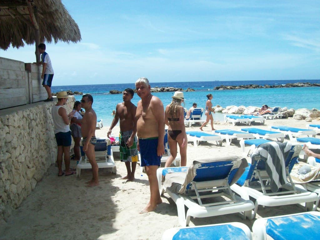
The beach runs longer than you'd expect, a ribbon of beige sand that curves northward and fades into mangrove at the edges. Driftwood piles mark the high-tide line, bleached white and tangled with fishing net scraps and plastic floats. The sand is coarse, studded with broken shell fragments that crunch softly underfoot. Behind the beach, dry pasture rolls toward the island's low interior hills, dotted with cattle and the occasional corrugated-roof farmhouse.
You'll likely arrive by boat from the main island settlements, following the coastline until the skipper noses the panga onto the sand. The gulf here is shallow and calm, its surface rippling under the afternoon wind. Wading birds—egrets, herons—stalk the tide pools left behind when the water retreats. The air smells of salt, sun-warmed seaweed, and the faint diesel tang of boat motors.
Unobstructed western gulf views
Pastures meet tidal zones
Wade the warm gulf
Prime Visitation
Best Weather|Less Crowds
Where it is
Playa Nancite
Isla Chira, Puntarenas, Costa Rica
10.058900°, -85.186400°
Weather
Loading…
Swell
—
Temp
Warm · Restorative
UV Index
Moderate
Wind
—
Tidal State
Last known
Max Sunlight
—
Ideal Shade
—
Jan - Dec (Peak)
May - Nov (Off-season)
Best Weather|Less Crowds
Select a category to load nearby places.
Unlock restaurants, luxury stays and curated maritime experiences within 2km
Swimming conditions at Playa Nancite vary with tides and weather. The western exposure to the Gulf of Nicoya means more open water compared to sheltered coves, potentially bringing moderate waves and currents, especially during windy conditions or tidal changes. There are no lifeguards, warning systems, or rescue services at this remote beach. If swimming, do so during calm weather, stay within shallow areas, and never swim alone. The sandy bottom is generally gradual, but always test conditions before fully committing. Local knowledge is valuable—ask island residents about current conditions if possible.
December through April offers the best weather with dry, sunny conditions and calmer gulf waters ideal for boat access and beach enjoyment. Playa Nancite's western orientation makes it exceptional for sunset viewing during any season—plan late afternoon visits to catch the spectacular colors over the wide gulf horizon. Fewer crowds visit during weekdays and shoulder months. Early dry season (December-January) provides lush post-rainy-season landscapes. The wet season (May-November) brings afternoon showers and potential boat access challenges, though mornings can still be pleasant and the island quieter with even fewer visitors.
Reaching Playa Nancite requires boat transportation to Isla Chira followed by overland travel. Public ferries operate from Puntarenas to eastern Chira villages like Palito, then you'll need to arrange local transport (boat, bicycle, or on foot) across the island to the western shore where Playa Nancite sits. Alternatively, hire a private water taxi directly from Puntarenas or nearby mainland towns to access the western beaches. The journey depends on weather and sea conditions. Coordinate with local boat operators or island residents familiar with routes. Allow flexibility in your schedule for weather-related delays.
Playa Nancite has no commercial facilities, restaurants, or accommodations. The beach retains its rural coastal character with minimal development. Basic lodging and simple local eateries exist in Isla Chira's main fishing villages on the eastern shore, several kilometers away. Most visitors approach Playa Nancite as a day trip, packing all necessary food, water, and supplies. Bring a complete picnic, plenty of drinking water, and sun protection. Respect the environment by carrying out all waste. For comfortable overnight stays and restaurant dining, base yourself in Puntarenas or other mainland coastal communities.
Playa Nancite distinguishes itself through its authentic rural coastal character and exceptional wide-angle gulf views from Isla Chira's western shore. Unlike developed resort beaches, this area remains connected to local fishing and island life, offering cultural immersion alongside natural beauty. The western exposure delivers stunning sunsets over expansive water horizons that eastern gulf beaches cannot match. The beach's relative obscurity means genuine solitude and discovery—it rarely appears in mainstream travel guides, attracting only adventurous travelers seeking untouched Costa Rican coastline. The journey itself becomes part of the authentic island experience.