
Counting the waves…
Counting the waves…
A refined fusion of water purity, environmental stability, and communal vibrancy for Port Hutt Beach.
View MethodologyAnalyzed via live sensors and environmental data.
Wave height, wind, and atmospheric stability.
Live footfall and crowd balance metrics.
Community reviews and curated sentiment.
“You walk past the ribs of a nineteenth-century wreck half-buried in the beach, while the sheltered bay spreads calm water between headlands. This was a lifeline for early settlers, and the quietness now feels almost…”
Limited recent visitor reports — live OBI telemetry is your best guide for current conditions.
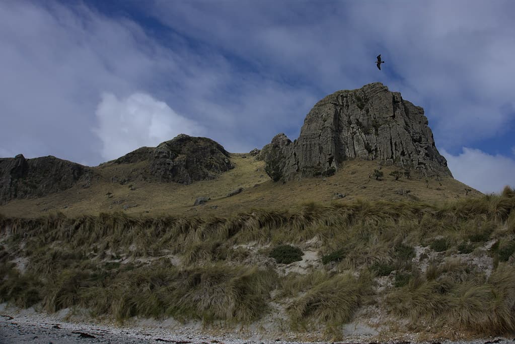
The bay opens before you like a natural harbor, its arms of basalt headland dampening ocean swell to a gentle lap against sand. Near the northern end, the Thomas Currell's timbers emerge from the beach—dark ribs and planks worn smooth by a century of tides, now more sculpture than shipwreck. The vessel came to grief here in the 1800s, and the bay that failed to save it now holds its bones as a permanent monument.
You walk where supply boats once anchored, where settlers unloaded livestock and provisions that would sustain the islands' earliest European communities. The sand is coarse and scattered with water-worn stones, and driftwood logs mark the high-tide line like fallen columns. The water inside the bay shifts between grey and olive depending on light and weather, and at low tide you can walk out to examine rocks encrusted with barnacles and small mussels.
Crashing wave at sunset on the shoreline
Thomas Currell skeleton at tide
Basalt formations frame bay
Calm water inside anchorage
Prime Visitation
Anytime|Best Weather
Where it is
Port Hutt Beach
Port Hutt, Chatham Islands, New Zealand
-43.804200°, -176.560400°
Weather
Loading…
Swell
—
Temp
Warm · Restorative
UV Index
Moderate
Wind
—
Tidal State
Last known
Max Sunlight
—
Ideal Shade
—
Jan - Dec (Peak)
Mar - Nov (Off-season)
Historical data suggests peak visibility and stable sea temperatures occur during the prime visitation window.
Select a category to load nearby places.
Unlock restaurants, luxury stays and curated maritime experiences within 2km
Port Hutt Beach is one of the more sheltered swimming spots in the Chatham Islands, making it relatively family-friendly compared to exposed western beaches. The bay offers some protection from prevailing winds and swells. However, supervision is essential as there are no lifeguards or facilities. Water temperatures remain cool year-round. Check weather and tide conditions before entering the water. The beach's gentle slope and calmer waters make it more suitable for paddling and exploration with children than most Chatham Island beaches.
Port Hutt Beach can be visited year-round, though summer months (December to February) offer the most pleasant weather conditions with milder temperatures and longer daylight hours. The sheltered nature of the bay means it's often accessible even when other beaches face rough conditions. Early morning visits provide calm waters and good light for photography. The historic Thomas Currell shipwreck is best viewed at low tide. Weather can change rapidly in the Chathams, so always prepare for variable conditions.
Port Hutt Beach is located on the northern part of the main Chatham Island, accessible by road from Waitangi township. You'll need a vehicle to reach the area, as distances are significant and there's no public transport. The drive takes you through rural landscapes on unsealed roads that can become challenging in wet conditions. Allow extra travel time and check road conditions with locals or your accommodation provider. The beach is part of northern touring routes exploring the island's historic and scenic sites.
Port Hutt is a small, remote location without dedicated accommodation or dining facilities directly at the beach. Most visitors base themselves in Waitangi township and make day trips to Port Hutt. Waitangi offers limited lodging options including small hotels, lodges, and homestays that should be booked well in advance. Pack food, water, and supplies for your beach visit, as there are no shops or services in Port Hutt. Your accommodation can often prepare packed lunches for day excursions.
The Thomas Currell was a sailing ship wrecked in Port Hutt in 1876, and remnants are visible near the beach depending on tide and sand levels. The wreck is part of the area's rich maritime history and adds historical interest to beach visits. Visibility of wreck remains varies with sand movement and erosion over time. Low tide offers the best chance to see any exposed timbers or metal fittings. The site represents the challenges of 19th-century navigation in these remote waters.
Photos