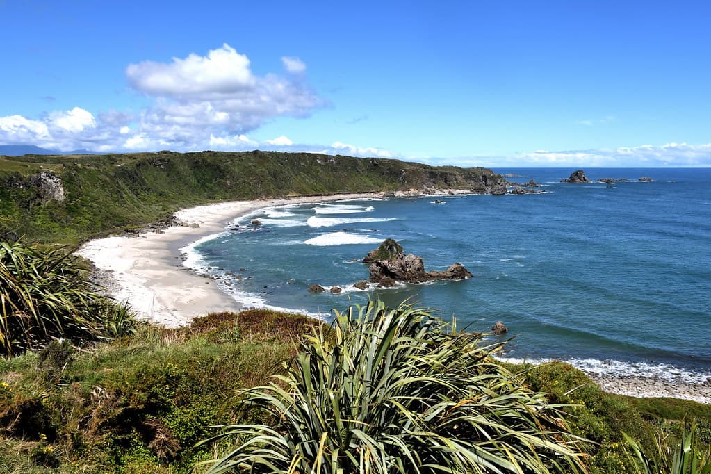
Counting the waves…
Counting the waves…
A refined fusion of water purity, environmental stability, and communal vibrancy for Nine Mile Beach.
View MethodologyAnalyzed via live sensors and environmental data.
Wave height, wind, and atmospheric stability.
Live footfall and crowd balance metrics.
Community reviews and curated sentiment.
“The beach unfurls in an unbroken line from Waimangaroa township to the Mokihinui River mouth, nine kilometers of gunmetal sand and relentless surf. Most drivers pass without stopping, bound for the seal colony twenty…”
Limited recent visitor reports — live OBI telemetry is your best guide for current conditions.
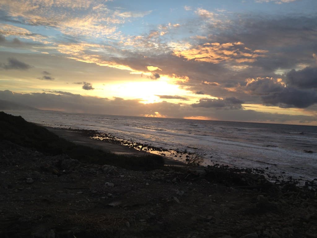
You reach Nine Mile Beach via a gravel access road that dead-ends at a concrete boat ramp, the asphalt simply giving up where the sand begins. The beach runs north and south in such perfect linearity that you can stand at one end and watch the other vanish into coastal haze. Waves arrive in even sets, their white crests visible a hundred meters offshore before they collapse onto the compacted sand with a percussion that drowns conversation.
This is coal country, and the beach bears witness: black seams occasionally surface through the sand, remnants of the Brunner seam that made fortunes and claimed lives throughout the nineteenth century. Driftwood accumulates in massive berms above the high-tide mark, entire trees delivered by the Tasman and left to silver in the salt air. The wind here is constant, shaping the dunegrass into leaning sculptures and keeping the sandflies mercifully inland.
Crashing wave at sunset on the shoreline
Nine uninterrupted kilometers of sand
Bronze light on gunmetal waves
Entire trees, silvered trunks
Prime Visitation
Less Crowds
Where it is
Nine Mile Beach
Waimangaroa, West Coast, New Zealand
-41.680600°, 171.710500°
Weather
Loading…
Swell
—
Temp
Warm · Restorative
UV Index
Moderate
Wind
—
Tidal State
Last known
Max Sunlight
—
Ideal Shade
—
Jan - Dec (Peak)
Mar - Nov (Off-season)
Historical data suggests peak visibility and stable sea temperatures occur during the prime visitation window.
Select a category to load nearby places.
Unlock restaurants, luxury stays and curated maritime experiences within 2km
Swimming at Nine Mile Beach is not recommended due to highly dangerous conditions. This exposed northern Buller beach faces the open Tasman Sea with powerful surf, strong rip currents, and undertows. There are no lifeguard services or safety equipment. The beach's remote location means emergency assistance is far away. Cold water temperatures persist year-round. The long, exposed nature creates unpredictable conditions that can change rapidly. Even experienced swimmers face serious risks. The beach is best enjoyed for walking, beachcombing, and scenery appreciation. Always keep a safe distance from the water's edge, especially during high seas or incoming tides.
Nine Mile Beach is best visited during settled weather periods, though the West Coast's exposed location means conditions can be harsh any time. Summer (December-February) offers warmer temperatures and longer days, ideal for beach walks. Late afternoon provides stunning sunset opportunities with western ocean views. Low tide expands the beach area for walking. Autumn (March-May) brings fewer visitors and can offer calm, clear days. Winter delivers dramatic storm-watching for those interested in wild coastal scenery, but bring warm, windproof clothing. Weekdays are quieter than weekends. Always check weather forecasts before traveling to this remote, exposed location.
Nine Mile Beach is located near Waimangaroa, approximately 20 kilometers north of Westport along State Highway 67 (the coastal route toward Karamea). Look for access points along the road, though specific entry points may require local knowledge or exploration. The beach stretches for considerable distance, so multiple access points may exist. Road access might involve unsealed sections depending on where you approach. From Westport, drive north; from Karamea, drive south. A vehicle is essential as public transport is not available. Check with Westport i-SITE for current access information and road conditions before traveling.
Waimangaroa is a very small settlement with minimal services. The nearest comprehensive facilities are in Westport, approximately 20 kilometers south, which offers supermarkets, restaurants, cafes, fuel, and various accommodation types including motels, hotels, and holiday parks. Granity and Ngakawau, small towns along the coast, have very limited services. No facilities exist at Nine Mile Beach—no toilets, water, or food vendors. Bring all necessary supplies including drinking water and snacks. Pack out all rubbish. For meals and accommodation, plan to base yourself in Westport and make Nine Mile Beach a day excursion.
Nine Mile Beach offers a completely different experience from Cape Foulwind. While Cape Foulwind is known for its seal colony, walking tracks, and coastal viewpoints, Nine Mile Beach provides a long, wild, windswept stretch of sand perfect for solitary beach walks and sunset viewing. Its overlooked status means genuine solitude and pristine conditions without tourist infrastructure or crowds. The beach's exposed, elemental character showcases the West Coast's raw beauty. It appeals to travelers seeking authentic wilderness experiences, beachcombing, photography of dramatic seascapes, and escape from developed attractions. The sense of remoteness and scale creates a meditative, humbling coastal experience.
Photos