
Counting the waves…
Counting the waves…
A refined fusion of water purity, environmental stability, and communal vibrancy for Keti Bandar Coast.
View MethodologyAnalyzed via live sensors and environmental data.
Wave height, wind, and atmospheric stability.
Live footfall and crowd balance metrics.
Community reviews and curated sentiment.
“Stroll the expansive shoreline of Keti Bandar, a historic port town where the Indus River's freshwater embrace shapes the very sand beneath your feet. Feel the soft grit, a testament to centuries of deltaic influence,…”
Limited recent visitor reports — live OBI telemetry is your best guide for current conditions.
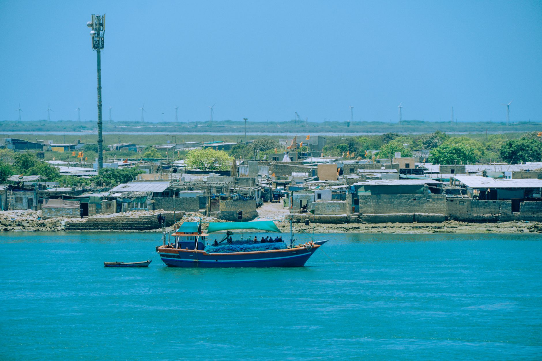
The Keti Bandar Coast offers a unique confluence of history and nature. Here, the broad, sandy expanse is not merely a beach, but a living testament to the Indus Delta's powerful influence. The freshwater currents, laden with silt from the mighty river, sculpt the shoreline, creating a distinct texture underfoot and supporting a unique ecosystem.
As you walk, imagine the dhows of old, laden with spices and textiles, navigating these very waters. The air carries a subtle salt tang mixed with the earthy scent of the delta, a sensory experience that grounds you in this ancient landscape. The vastness of the sand invites contemplation, offering ample space for quiet reflection.
Credit: PexelsSunset Photography
Capture deltaic hues
Explore broad sands
Taste fresh catch
Prime Visitation
Best Weather
Where it is
Keti Bandar Coast
Keti Bandar, Sindh, Pakistan
24.143000°, 67.447500°
Weather
Loading…
Swell
—
Temp
Warm · Restorative
UV Index
Moderate
Wind
—
Tidal State
Last known
Max Sunlight
—
Ideal Shade
—
May - Sep (Peak)
Jan - Dec (Off-season)
Historical data suggests peak visibility and stable sea temperatures occur during the prime visitation window.
Select a category to load nearby places.
Unlock restaurants, luxury stays and curated maritime experiences within 2km
Keti Bandar Coast is described as a 'Broad shoreline' and 'Sandy,' which generally indicates suitable conditions for swimming. However, being around a 'historic port town with deltaic influence,' water currents and quality might be affected by the Indus River. It's advisable to observe local conditions, inquire about any specific hazards, and exercise caution while swimming in this area.
The best time to visit Keti Bandar Coast is during 'Best Weather.' This typically means cooler temperatures and calmer conditions, which are ideal for enjoying the 'broad shoreline' and the 'scenic' views, especially at 'sunset.' Avoiding the peak heat or monsoon seasons would enhance the experience of this deltaic coastal area.
Keti Bandar Coast is located around the 'historic port town' of Keti Bandar. It is generally accessible by road, though the quality of roads in deltaic regions can vary. Visitors should plan for a drive to Keti Bandar. Public or private transportation options would likely be available from larger nearby cities, leading to this 'local' and 'scenic' destination.
As a 'broad shoreline around the historic port town,' Keti Bandar Coast likely has some basic food and lodging options available within Keti Bandar itself, catering to 'local' visitors. These might include small eateries or guesthouses. For more comprehensive amenities, visitors might need to look to larger towns further inland. It's advisable to confirm availability in advance.
Keti Bandar Coast is unique due to its location around a 'historic port town with deltaic influence.' This blend of historical significance and the natural impact of the Indus Delta creates a distinct environment. Its 'broad shoreline' offers 'scenic' views, particularly at 'sunset,' providing a glimpse into the local life and the unique geography of the region.
Photos