
Counting the waves…
Counting the waves…
A refined fusion of water purity, environmental stability, and communal vibrancy for Mano Border Beach.
View MethodologyAnalyzed via live sensors and environmental data.
Wave height, wind, and atmospheric stability.
Live footfall and crowd balance metrics.
Community reviews and curated sentiment.
“This expansive stretch of sand marks the very southern frontier of Sierra Leone, a quiet coastal expanse where the land meets the sea with an undeniable sense of wildness. Here, the only footprints you're likely to see…”
Limited recent visitor reports — live OBI telemetry is your best guide for current conditions.
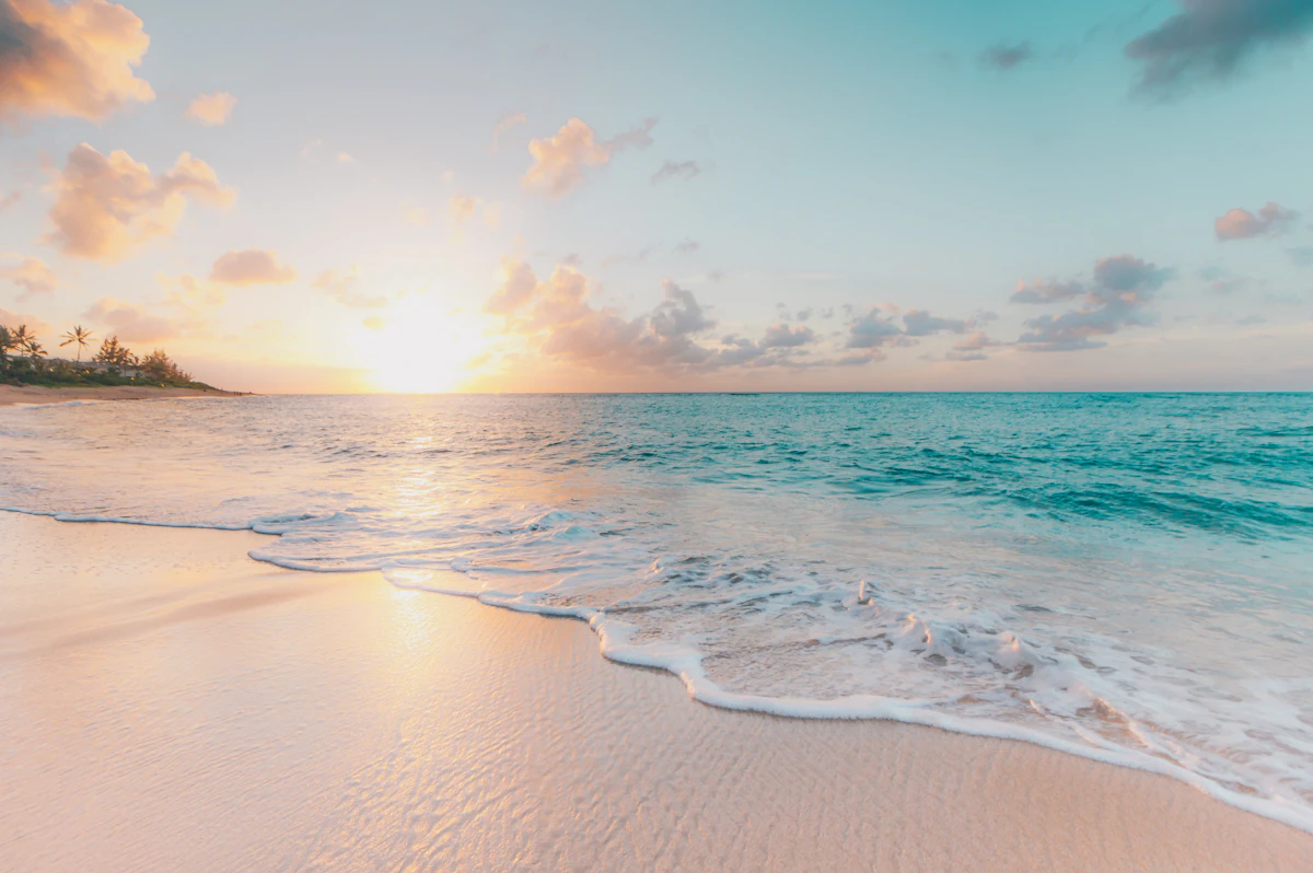
As you venture south from Sulima, the landscape opens up to reveal the Mano Border Beach, a testament to raw, untamed coastline. The sand here is a pale, soft canvas, stretching for miles, inviting long, meditative walks. The air carries the scent of salt and the vastness of the Atlantic, a constant, rhythmic presence that defines this remote locale.
This beach carries a distinct frontier character; it's where one nation ends and another begins, a geographical marker imbued with a sense of quiet significance. You won't find bustling resorts or vendors here, but rather an uninterrupted vista of ocean and sky, punctuated only by the occasional seabird or the distant silhouette of a fishing boat.
Aerial view of turquoise tropical bay
Wide white-sand beach with footprints
Uninterrupted relaxation
Capture remote beauty
Explore vast sands
Prime Visitation
Best Weather|Less Crowds
Where it is
Mano Border Beach
Sulima, Pujehun District, Sierra Leone
6.929000°, -11.605500°
Weather
Loading…
Swell
—
Temp
Warm · Restorative
UV Index
Moderate
Wind
—
Tidal State
Last known
Max Sunlight
—
Ideal Shade
—
Jan - Dec (Peak)
May - Nov (Off-season)
Best Weather|Less Crowds
Select a category to load nearby places.
Unlock restaurants, luxury stays and curated maritime experiences within 2km
Mano Border Beach is a quiet, far-south coastal stretch, and while generally safe for swimming, its remote nature means there are no lifeguards or facilities. Swimmers should be cautious of currents and any natural hazards. Given its proximity to the Liberian border, it's wise to be aware of your surroundings and respect local regulations. Always assess water conditions before entering and avoid swimming alone in isolated areas.
The best time to visit Mano Border Beach for good weather and fewer crowds is during the dry season, typically from November to May. This period offers more stable weather conditions, making travel and beach enjoyment more pleasant. Visiting outside of local holidays will ensure a more solitary experience, allowing you to fully appreciate the quiet, frontier character of this unique coastal stretch near the Liberian border.
Mano Border Beach is located towards the Liberian sea border from Sulima. Access usually involves traveling south from Sulima town, likely by local motorbike (okada) or by arranging private transport. The journey might be on unpaved roads, so road conditions can vary. It's advisable to inquire locally about the best route and current accessibility, especially given its 'hidden' and border-adjacent nature.
Due to its quiet and remote 'frontier' character, Mano Border Beach offers very limited to no direct food or lodging facilities. Visitors should plan to bring their own provisions, including water and snacks, for their time at the beach. For accommodation and more substantial meals, you will need to return to Sulima town, where some guesthouses and local eateries are available. Plan accordingly for a day trip.
Mano Border Beach is unique for its quiet, far-south coastal stretch towards the Liberian sea border, embodying a distinct 'frontier character.' This offers a sense of remote exploration and solitude, appealing to those seeking an off-the-beaten-path experience. The beach is ideal for long, reflective walks, enjoying untouched natural beauty, and witnessing stunning sunsets in a truly secluded setting, far from typical tourist crowds.
Photos