Counting the waves…
Counting the waves…
A refined fusion of water purity, environmental stability, and communal vibrancy for Cocos Bay.
View MethodologyAnalyzed via live sensors and environmental data.
Wave height, wind, and atmospheric stability.
Live footfall and crowd balance metrics.
Community reviews and curated sentiment.
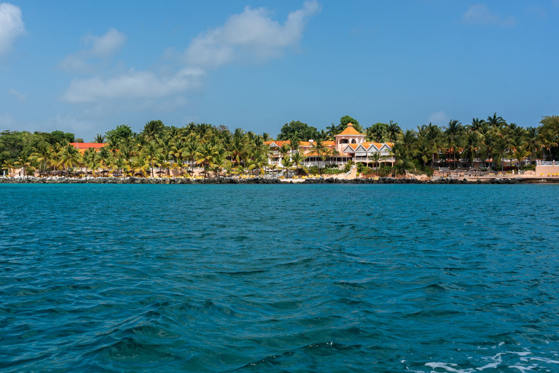
“Imagine a seemingly endless stretch of golden sand, where the powerful Atlantic Ocean meets the verdant edge of the Nariva Swamp, creating a landscape of breathtaking scale. Cocos Bay is more than just a beach; it's a…”
Limited recent visitor reports — live OBI telemetry is your best guide for current conditions.
Cocos Bay, a majestic expanse on Trinidad's eastern seaboard, is a landscape of grand proportions, where the relentless Atlantic meets the ecological richness of the Nariva Swamp. This isn't a beach you simply visit; it's a natural phenomenon you experience, a wide barrier of sand that stretches as far as the eye can see, creating a dramatic interface between land and sea.
The sheer scale of Cocos Bay is its most striking feature. The sand here feels boundless, inviting long, contemplative walks where the only sounds are the roar of the ocean and the whisper of the wind. The powerful Atlantic waves crash with a consistent rhythm, a testament to the raw energy of this coast. While swimming might be challenging due to strong currents, the spectacle of the ocean is captivating in itself.
Miles of open sand
Dramatic sky colors
Swamp edge biodiversity
Prime Visitation
Best Weather|Less Crowds
Where it is
Cocos Bay
Manzanilla, Sangre Grande, Trinidad and Tobago
10.476900°, -61.038600°
Weather
Loading…
Swell
—
Temp
Warm · Restorative
UV Index
Moderate
Wind
—
Tidal State
Last known
Max Sunlight
—
Ideal Shade
—
Jan - Dec (Peak)
May - Nov (Off-season)
Best Weather|Less Crowds
Select a category to load nearby places.
Unlock restaurants, luxury stays and curated maritime experiences within 2km
Cocos Bay, located on Trinidad's East Coast, faces the Atlantic Ocean, meaning it can experience strong currents and powerful waves. While scenic, it's generally not recommended for casual swimming, especially for inexperienced swimmers. Always exercise extreme caution, be aware of rip currents, and assess conditions before entering the water. There are no lifeguards on duty.
The best time to visit Cocos Bay is during the dry season (December to May) for clearer skies and more predictable weather, ideal for photography and enjoying the vast scenic landscape. Visiting during sunrise or sunset can offer particularly stunning views, making it an Instagrammable spot. Less crowded times enhance the tranquil experience.
Cocos Bay is located along the Manzanilla-Mayaro Road on Trinidad's East Coast. It is easily accessible by car, and visitors can drive directly to the area. There is typically informal roadside parking available along the stretch of beach. Public transport options to Manzanilla are also available, though less direct to specific beach access points.
Cocos Bay is a largely undeveloped natural area, so there are no direct food vendors or formal lodging options on the beach itself. Visitors should bring their own provisions, including food and water. For dining and accommodation, the nearest options would be found in the nearby communities of Manzanilla or further south towards Mayaro.
Cocos Bay is renowned for its expansive, wide barrier-beach coast, forming a dramatic Atlantic landscape adjacent to the Nariva Swamp. Its unique beauty, characterized by endless stretches of sand and coconut trees, makes it a famous and highly scenic location. It's particularly popular for sunset views and photography, offering a truly Instagrammable backdrop.
Photos