Counting the waves…
Counting the waves…
A refined fusion of water purity, environmental stability, and communal vibrancy for Wulik River Mouth Beach.
View MethodologyAnalyzed via live sensors and environmental data.
Wave height, wind, and atmospheric stability.
Live footfall and crowd balance metrics.
Community reviews and curated sentiment.
“You'll need to arrive by small aircraft—then stand at the narrow edge of the continent where a ribbon of freshwater cuts through beach gravel into Arctic waters. Wind carries the scent of sea spray and wet stone; gulls…”
Limited recent visitor reports — live OBI telemetry is your best guide for current conditions.
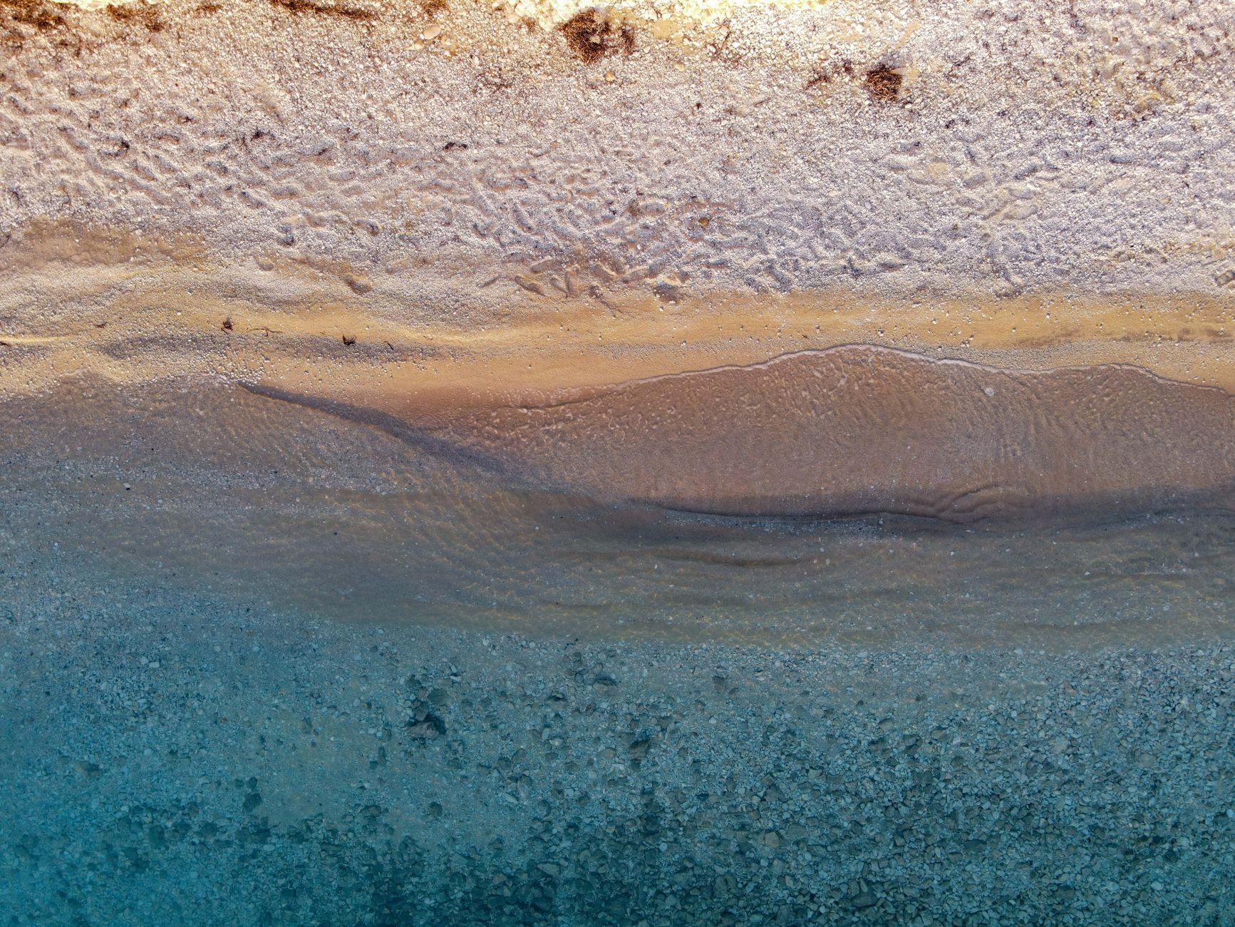
The Wulik River spills into the Chukchi Sea at a beach that exists in near-total isolation, accessible only by plane to the nearby Iñupiat village of Kivalina. You'll walk across tundra dotted with low-growing crowberry and arctic willow before the land gives way to a shoreline of smooth stones, driftwood weathered bone-white by salt and sun, and the ceaseless push of Arctic tides. The water temperature hovers just above freezing even in July, and pack ice often lingers into early summer, creating sculptural formations along the shore.
In winter, the landscape transforms into a monochrome study in survival. The beach disappears beneath snow and ice, and the boundary between land and frozen sea blurs into a single expanse. Summer brings midnight sun and the return of migratory birds—terns, plovers, and long-tailed ducks that nest in the coastal grasses. You might spot bearded seals hauled out on distant ice floes, or catch the dark fins of beluga whales moving through the shallows.
Ice Formation Photography
Tundra Walks
Capture sculptural pressure ridges
Low vegetation, caribou trails visible
June solstice brings endless light
Where it is
Wulik River Mouth Beach
Kivalina, Alaska, USA
67.736800°, -164.560900°
Weather
Loading…
Swell
—
Temp
Warm · Restorative
UV Index
Moderate
Wind
—
Tidal State
Last known
Max Sunlight
—
Ideal Shade
—
May - Sep (Peak)
Jan - Dec (Off-season)
Historical data suggests peak visibility and stable sea temperatures occur during the prime visitation window.
Select a category to load nearby places.
Unlock restaurants, luxury stays and curated maritime experiences within 2km
Swimming at Wulik River Mouth Beach is generally not recommended due to extremely cold water temperatures year-round, strong river currents where the Wulik meets the Chukchi Sea, and potential hazards from floating ice even in summer months. The Arctic waters rarely exceed 40°F (4°C). Additionally, the remote location means emergency medical services are very limited. Visitors should exercise extreme caution near the water and always inform locals of their plans when exploring the area.
While accessible year-round, late June through August offers the most visitor-friendly conditions with 24-hour daylight, temperatures reaching 40-55°F (4-13°C), and ice-free coastal waters. Winter visits from November to March feature polar nights, extreme cold below 0°F (-18°C), and coastal ice, though you may witness aurora borealis. Spring and fall bring dramatic ice formations and wildlife migrations. Weather in Arctic Alaska is unpredictable regardless of season, so prepare for rapid changes and pack accordingly.
Kivalina is only accessible by small aircraft from Kotzebue or by boat during ice-free months. There are no roads connecting to other communities and no traditional parking facilities. The village itself is walkable, and the beach is reached on foot from the small settlement. Visitors must arrange flights through regional carriers like Bering Air or Renfro's Alaskan Adventures. Access requires advance coordination with the Native Village of Kivalina, as this is private tribal land within the Northwest Arctic Borough.
Kivalina has extremely limited visitor infrastructure with no hotels, restaurants, or commercial amenities. Lodging arrangements must be made in advance through community contacts or tribal administration for homestays or guest accommodations. Visitors should bring all necessary supplies, food, and camping equipment. The village has a small store with limited provisions primarily for residents. Cell service is minimal and internet connectivity unreliable. This is an authentic subsistence community, so respectful advance planning and self-sufficiency are essential.
Kivalina sits on a narrow barrier island increasingly threatened by climate change and erosion. The village is literally disappearing as Arctic sea ice decline removes natural storm protection, causing devastating coastal erosion. The community is considered one of America's most immediately threatened by climate change, with potential relocation discussed for years. Visiting this beach offers sobering perspective on climate impacts affecting Arctic indigenous communities, though visitors should approach with cultural sensitivity and awareness that residents face losing their ancestral homeland.
Photos