Counting the waves…
Counting the waves…
A refined fusion of water purity, environmental stability, and communal vibrancy for Kamishak Bay Beach.
View MethodologyAnalyzed via live sensors and environmental data.
Wave height, wind, and atmospheric stability.
Live footfall and crowd balance metrics.
Community reviews and curated sentiment.
“You'll reach Kamishak Bay Beach by floatplane or boat, landing on dark sand flanked by volcanic headlands and kelp-strewn tide pools. The air smells of salt and spruce, and the only footprints you'll see are likely made…”
Limited recent visitor reports — live OBI telemetry is your best guide for current conditions.
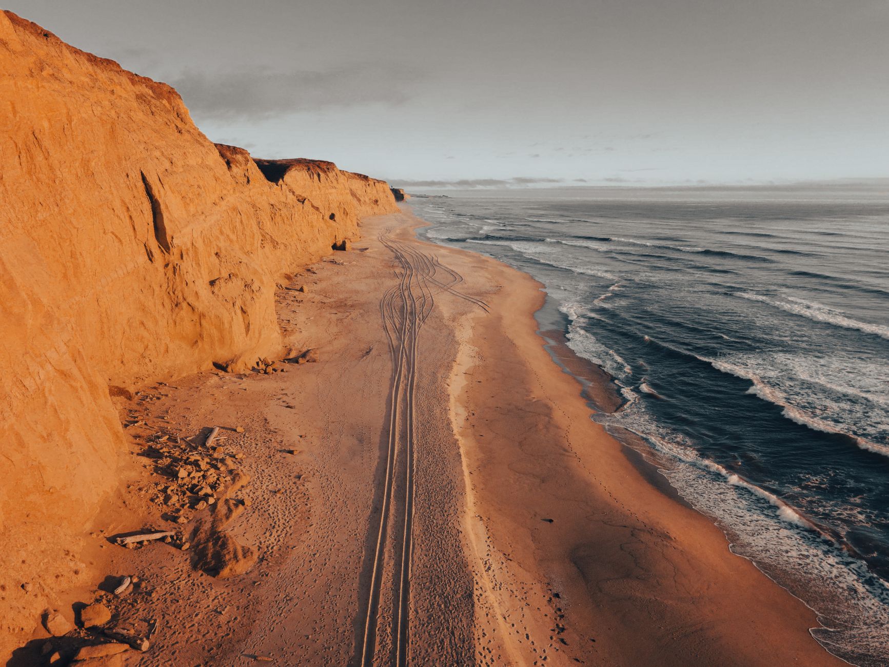
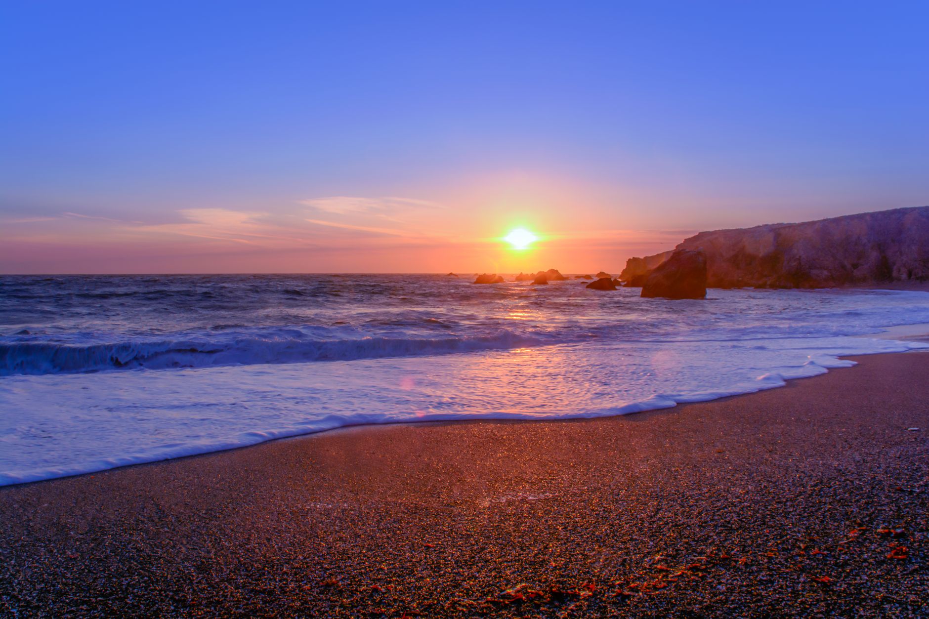
Step off the pontoon onto coarse volcanic sand, and the silence hits you first—no roads, no crowds, just the rhythmic exhale of Bristol Bay and the occasional crack of shifting ice from the distant Aleutian Range. Kamishak Bay Beach sprawls along the western edge of the Alaska Peninsula, where tidal flats reveal entire galaxies of moon snails and razor clams twice a day. Gray driftwood logs, bleached by seasons of rain and wind, rest against basalt outcrops that glow copper in the low-angle sun.
This is bear country in its purest form. Brown bears patrol the shoreline during salmon runs, digging for clams and flipping boulders in search of crabs. You'll want binoculars and a healthy respect for distance. The beach itself shifts with the seasons: summer brings fireweed blooms on the bluffs above, while autumn paints the tundra in rust and gold. Winter transforms the bay into a study in monochrome, with sea smoke rising off the unfrozen patches.
Credit: PexelsBrown Bear Photography
Credit: PexelsTidal Flat Exploration
Telephoto lens, respectful distance always
Moon snails, ghost shrimp revealed
Sea otters, harbor seals appear
Where it is
Kamishak Bay Beach
Perryville, Alaska, USA
56.921600°, -159.157400°
Weather
Loading…
Swell
—
Temp
Warm · Restorative
UV Index
Moderate
Wind
—
Tidal State
Last known
Max Sunlight
—
Ideal Shade
—
May - Sep (Peak)
Jan - Dec (Off-season)
Historical data suggests peak visibility and stable sea temperatures occur during the prime visitation window.
Select a category to load nearby places.
Unlock restaurants, luxury stays and curated maritime experiences within 2km
Swimming at Kamishak Bay is generally not recommended due to extremely cold water temperatures year-round, strong currents, and significant tidal fluctuations. The waters of lower Cook Inlet remain frigid even in summer, posing hypothermia risks. Additionally, this remote area is known bear habitat, particularly during salmon runs, requiring constant wildlife awareness. The beach is better suited for wildlife viewing, beachcombing, and photography rather than water activities. Always maintain safe distances from wildlife and be prepared for rapidly changing weather conditions typical of coastal Alaska.
Kamishak Bay is accessible year-round, but summer months (June through August) offer the most favorable conditions with longer daylight hours, milder temperatures, and calmer seas for boat or floatplane access. However, weather remains unpredictable with frequent fog, rain, and wind even in peak season. Spring and fall bring dramatic scenery and fewer visitors, though harsher conditions. Wildlife viewing opportunities vary seasonally—brown bears are most active during salmon runs in summer and early fall. Winter visits require advanced wilderness skills and proper cold-weather gear for extreme conditions.
Kamishak Bay Beach is extremely remote with no road access. Visitors must arrange transportation via floatplane or boat from Homer, Kodiak, or nearby communities. Chartered floatplane services are the most common access method, typically departing from Homer (approximately 50 miles northeast). Boat charters are available but require suitable weather and sea conditions across lower Cook Inlet. There are no parking facilities, visitor centers, or developed infrastructure. This wilderness destination requires careful trip planning, coordination with licensed air or marine transport services, and appropriate permits for the Katmai National Preserve area.
Kamishak Bay Beach has absolutely no amenities, facilities, or services. This is pristine wilderness with no restaurants, lodging, restrooms, or potable water sources. Visitors must be completely self-sufficient, bringing all necessary camping equipment, food, water, bear-resistant food containers, and emergency supplies. The nearest community with services is Perryville, a small Alaska Native village with extremely limited visitor facilities. Most travelers base themselves in Homer or other regional hubs and visit Kamishak Bay as a day trip or multi-day wilderness camping expedition requiring full backcountry preparation and experience.
Yes, Kamishak Bay offers spectacular views of active volcanoes across Cook Inlet on clear days. Mount Redoubt and Mount Iliamna, both active stratovolcanoes, dominate the western skyline and are particularly dramatic when steam venting or during rare eruptions. Mount Augustine, another active volcano, may also be visible depending on your position along the bay. These volcanic peaks create stunning photographic opportunities, especially during sunrise or sunset. However, coastal weather often brings fog and clouds, so volcano visibility is never guaranteed. The volcanic landscape adds to the area's raw, dramatic beauty.
Photos