Counting the waves…
Counting the waves…
A refined fusion of water purity, environmental stability, and communal vibrancy for Pfeiffer Beach.
View MethodologyAnalyzed via live sensors and environmental data.
Wave height, wind, and atmospheric stability.
Live footfall and crowd balance metrics.
Community reviews and curated sentiment.
“You'll second-guess the rutted, unsigned Sycamore Canyon Road until it dead-ends at a windswept beach where amethyst granules collect in tide pools and waves crash through Keyhole Arch. Time your visit for low tide and…”
Limited recent visitor reports — live OBI telemetry is your best guide for current conditions.
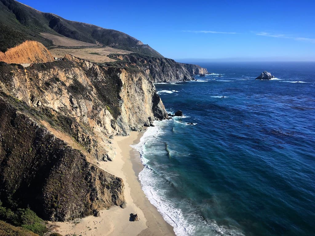
The parking lot sits a quarter-mile uphill from the strand, and the descent through coastal scrub prepares you for the peculiarity waiting below: patches of lavender-hued sand mingling with ordinary beige, most vivid where manganese garnet fragments concentrate near the waterline. You'll crouch to confirm it's real, fingers sifting through grains that look like crushed gemstones under the right slant of light.
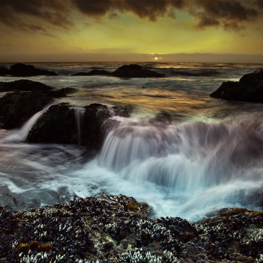
Keyhole Arch dominates the southern end, a doubled sea stack pierced clean through by centuries of Pacific assault. At low tide you can walk beneath it, boots squelching in kelp-strewn sand, dodging the frigid surge that funnels through the opening. Photographers camp out two hours before sunset, tripods anchored against the wind, waiting for that five-minute window when the sun aligns perfectly with the aperture and sets the wet rock glowing.
 Credit: Unsplash
a beach with trees and a hill in the background
 Credit: Unsplash
people on beach during daytime
Low tide frames best light
North rocks at low tide
Waterline shows deepest hues
Where it is
Pfeiffer Beach
Big Sur, California, USA
36.238400°, -121.815800°
Weather
Loading…
Swell
—
Temp
Warm · Restorative
UV Index
Moderate
Wind
—
Tidal State
Last known
Max Sunlight
—
Ideal Shade
—
May - Sep (Peak)
Jan - Dec (Off-season)
Historical data suggests peak visibility and stable sea temperatures occur during the prime visitation window.
Select a category to load nearby places.
Unlock restaurants, luxury stays and curated maritime experiences within 2km
Swimming at Pfeiffer Beach is generally not recommended due to strong currents, unpredictable waves, and cold water temperatures year-round. Rip currents are common, and there are no lifeguards on duty. The beach is better suited for photography, tidepooling, and beachcombing. If you do wade in, stay close to shore and never turn your back on the ocean. Sneaker waves can appear suddenly and pull people into the surf. Always supervise children closely and be aware that Big Sur beaches can be particularly hazardous during winter storms.
Pfeiffer Beach can be visited year-round, but sunset is the most popular time for photographers hoping to catch light streaming through Keyhole Arch. Winter offers dramatic storm-watching and fewer crowds, though access roads may occasionally close during heavy rain. Spring and fall provide mild weather with manageable visitor numbers. Summer brings fog that can obscure views but creates moody atmospheres. Arrive 1-2 hours before sunset for the best light and parking. Low tide is ideal for exploring tidepools and getting closer to the iconic rock formations.
Pfeiffer Beach is accessed via a narrow, unmarked two-mile road (Sycamore Canyon Road) off Highway 1, approximately one mile south of Pfeiffer Big Sur State Park. The turnoff is easy to miss—look for a sharp right turn with a small sign. The winding, one-lane road requires careful driving. A small parking lot at the beach fills quickly during peak times, especially on weekends and summer afternoons. There's a day-use fee (typically $12 per vehicle). Arrive early or after 4pm for better parking availability. No overnight parking or camping is permitted.
Pfeiffer Beach has vault toilets but no other amenities—no food, water, or lodging on-site. The closest services are along Highway 1 in Big Sur, about 2-3 miles north. Options include the Big Sur Lodge, Deetjen's Big Sur Inn, and several restaurants like Nepenthe and the Big Sur River Inn. Big Sur is a small, spread-out community with limited services, so bring snacks, water, and sunscreen with you. Gas stations are sparse; fill up in Carmel (north) or Cambria (south) before your visit.
Pfeiffer Beach's distinctive purple sand comes from manganese garnet deposits eroding from the surrounding hillsides. These minerals wash down from the cliffs and mix with the regular beach sand, creating patches of lavender and violet hues, especially visible when wet. The purple color is most concentrated near the base of the cliffs and after winter storms bring fresh deposits. The effect varies seasonally and isn't uniform across the entire beach—some areas show more purple than others. This geological phenomenon makes Pfeiffer one of California's most photographed beaches.
Photos