Counting the waves…
Counting the waves…
A refined fusion of water purity, environmental stability, and communal vibrancy for Au Sable Point Beach.
View MethodologyAnalyzed via live sensors and environmental data.
Wave height, wind, and atmospheric stability.
Live footfall and crowd balance metrics.
Community reviews and curated sentiment.
“You'll hike through hemlock forest to reach this sweep of honey-colored sand, where waves from the world's largest freshwater lake roll onto shore. The Au Sable Light Station watches from its bluff as rusted ribs of the…”
Limited recent visitor reports — live OBI telemetry is your best guide for current conditions.
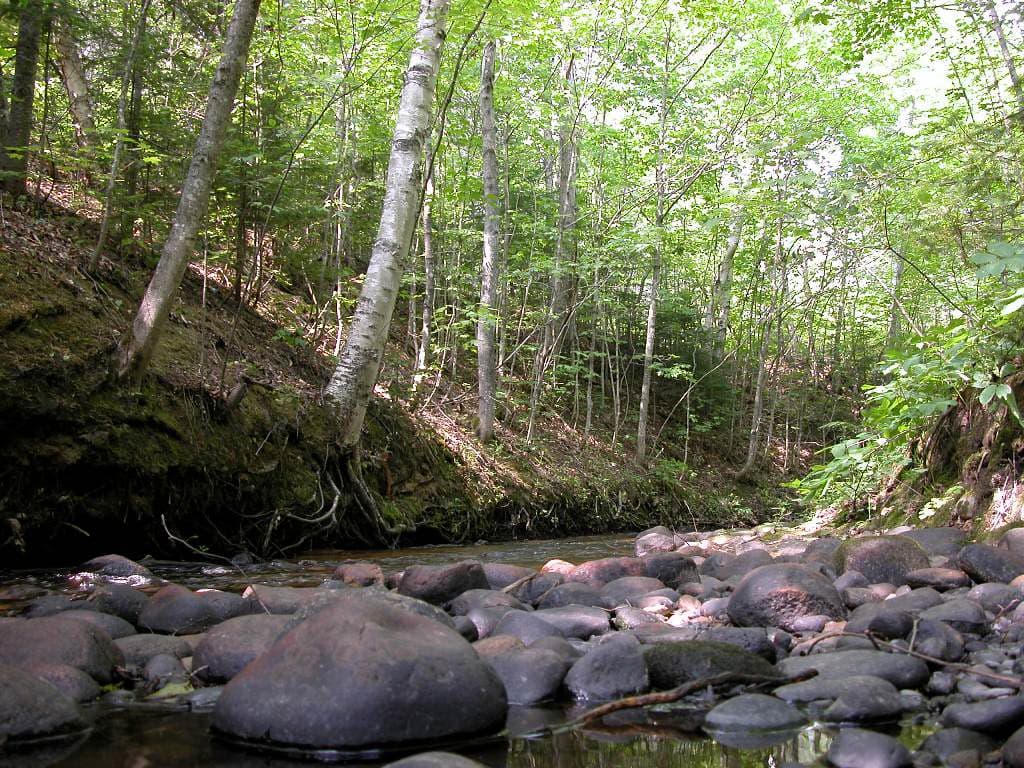
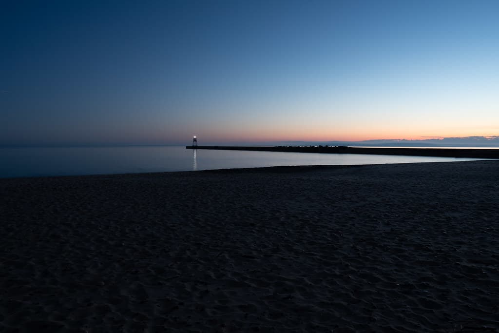
The trail from the Hurricane River campground winds three miles through dense woodland before opening onto this arc of beach, framed by sandstone cliffs streaked rust and charcoal. Lake Superior stretches north without interruption to Canada, its moods shifting from glassy calm to five-foot swells that pound the shore with a bass-note rumble you feel in your sternum. The 1874 lighthouse stands sentinel above, its brick tower and keeper's quarters preserved as if waiting for the lamp to be relit.
Wading into the shallows near the shipwreck, the water bites even in July—fifty-five degrees on a warm day. The Sitka's skeleton emerges at low water, its wooden ribs arcing from the lake bed like the spine of some prehistoric creature. Beachcombers circle it at dawn, hunting for agates smoothed by decades of wave action, their translucent orange and red bands glowing when held to the light.
 Credit: Unsplash
brown grass field near body of water during daytime
 Credit: Unsplash
a log on a beach
Three miles through hemlock forest
Sitka ribs at low water
Fifty-five degree Superior swimming
Where it is
Au Sable Point Beach
Grand Marais, Michigan, USA
46.678900°, -86.146800°
Weather
Loading…
Swell
—
Temp
Warm · Restorative
UV Index
Moderate
Wind
—
Tidal State
Last known
Max Sunlight
—
Ideal Shade
—
May - Sep (Peak)
Jan - Dec (Off-season)
Historical data suggests peak visibility and stable sea temperatures occur during the prime visitation window.
Select a category to load nearby places.
Unlock restaurants, luxury stays and curated maritime experiences within 2km
Swimming at Au Sable Point Beach is generally not recommended due to unpredictable Lake Superior currents, cold water temperatures (even in summer, rarely above 55°F), and the rocky shoreline. The beach lacks lifeguards and has strong undertows common to this coastline. Most visitors come for scenic walks, photography, and beachcombing rather than swimming. If you do wade in, stay close to shore and never swim alone. Always check local conditions and respect Lake Superior's power—it's known for sudden weather changes and dangerous waves.
Late spring through early fall (May-October) offers the most pleasant weather for visiting Au Sable Point Beach, with summer months providing the warmest temperatures, though Lake Superior keeps the area cool. Fall brings stunning foliage and fewer crowds, making September-October ideal for photographers. Winter access can be challenging due to snow and ice, but the frozen landscapes are dramatic. The beach is accessible year-round, but the nearby Au Sable Point Lighthouse is typically open for tours only from Memorial Day through early October.
Au Sable Point Beach is accessed via the Hurricane River Campground, located about 12 miles west of Grand Marais off H-58. From the parking area at the campground, it's approximately a 1.5-mile hike along the Lakeshore Trail through forest to reach the beach and lighthouse. The trail is relatively easy but can be sandy and uneven. Parking is available at the Hurricane River Campground day-use area. Note that H-58 between Grand Marais and Munising can be rough gravel in sections, so plan accordingly.
Au Sable Point Beach is in a remote area of Pictured Rocks National Lakeshore with no facilities on-site. The nearest town is Grand Marais (12 miles east), which offers several restaurants, motels, bed and breakfasts, and vacation rentals. Hurricane River Campground provides basic camping facilities nearby. For more lodging and dining options, Munising (about 40 miles west) has greater variety. Plan to bring your own food, water, and supplies when visiting the beach, as there are no concessions or amenities at the trailhead or beach itself.
Yes, the Au Sable Point Lighthouse is the main attraction at this beach and is accessible via the same 1.5-mile trail from Hurricane River Campground. The 1874 lighthouse sits dramatically on the shoreline and offers guided tours during summer months (typically late May through early October). You can explore the beach and photograph the lighthouse from outside year-round, though the interior is only open seasonally. The lighthouse keeper's quarters now serve as a rustic volunteer residence. It's one of Michigan's most photographed lighthouses due to its scenic Lake Superior setting.
Photos