
Counting the waves…
Counting the waves…
A refined fusion of water purity, environmental stability, and communal vibrancy for Ship Island South Shore Beach.
View MethodologyAnalyzed via live sensors and environmental data.
Wave height, wind, and atmospheric stability.
Live footfall and crowd balance metrics.
Community reviews and curated sentiment.
“You'll smell salt and diesel as the ferry churns toward Ship Island, ten miles offshore. Once the gangplank drops, your boots sink into fine quartz sand that squeaks underfoot. The Gulf laps gently on the south shore…”
Limited recent visitor reports — live OBI telemetry is your best guide for current conditions.
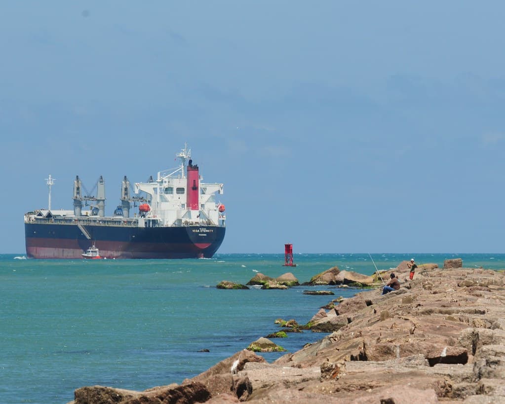
The ferry from Gulfport cuts a steady line through the Sound, past channel markers and fishing boats, until Ship Island's low profile materializes on the horizon. You disembark onto a shore where Civil War ghosts and hurricane memory share the same sand—Katrina split this barrier island in two in 2005, though it has since reconnected. The south-facing beach rolls out in a ribbon of white so bright you'll squint even through sunglasses, backed by scrubby dunes and sea oats that hiss in the wind.
Fort Massachusetts anchors the western end, its brick casemates offering cool shade and a reminder that this outpost once guarded Ship Channel. You'll wander through empty gun rooms where swallows nest, then return to the beach to stake your claim on sand that remains largely uncrowded even on summer weekends. The water here is shallow and bathwarm by July, stained the color of sweet tea by tannins from coastal marshes.
Bring your own umbrella shade
Brick casemates and nesting swallows
Tea-colored water, gentle Gulf waves
Where it is
Ship Island South Shore Beach
Gulfport, Mississippi, USA
30.226700°, -88.966000°
Weather
Loading…
Swell
—
Temp
Warm · Restorative
UV Index
Moderate
Wind
—
Tidal State
Last known
Max Sunlight
—
Ideal Shade
—
May - Sep (Peak)
Jan - Dec (Off-season)
Historical data suggests peak visibility and stable sea temperatures occur during the prime visitation window.
Near Ship Island South Shore Beach
Explore dining, stays, nightlife, and activities near Ship Island South Shore Beach in Gulfport, USA. Every listing below is a real place linked to this beach — open a card for reviews, maps, and booking options.
Food, cafés, and dining close to Ship Island South Shore Beach — curated from places linked to this beach.
Select a category to load nearby places.
Unlock restaurants, luxury stays and curated maritime experiences within 2km
Swimming conditions at Ship Island South Shore Beach are generally safe, with calmer waters on the Gulf-side shore compared to the north side. The beach has gentle slopes ideal for families. However, always check weather conditions before visiting, as tropical storms can create dangerous currents. Lifeguards are not always present, so swim cautiously. Jellyfish can appear seasonally, particularly in summer months. Strong currents occasionally develop near the island's tips. The National Park Service monitors conditions and will close ferry service during unsafe weather.
The best time to visit Ship Island is March through October when ferry service operates regularly and weather is warmest. Peak season runs May through August, offering the best swimming conditions but also larger crowds. Spring (March-May) and fall (September-October) provide pleasant temperatures with fewer visitors. Summer temperatures reach the high 80s-90s°F with higher humidity. The island is accessible year-round, but ferry schedules are limited in winter months. Hurricane season (June-November) can cause occasional service disruptions.
Ship Island is accessible only by ferry or private boat. Ship Island Excursions operates ferries from Gulfport Harbor, with the journey taking approximately one hour each way. Ferries typically run March through October, with multiple daily departures during peak season. Advance reservations are recommended, especially for summer weekends. Parking is available at Gulfport Harbor near the ferry terminal. Private boats can anchor near the island, but check National Seashore regulations. There are no bridges or roads to the island.
Ship Island has limited amenities, so plan accordingly. A seasonal concession stand near the ferry dock sells snacks, beverages, and basic meals during peak season. Restrooms and outdoor showers are available. However, bringing your own food, water, and supplies is highly recommended. No lodging exists on the island—it's a day-trip destination only. Beach chair and umbrella rentals are sometimes available. Pack sunscreen, as shade is limited. Since it's part of Gulf Islands National Seashore, leave-no-trace principles apply.
Yes, Fort Massachusetts is a major attraction on Ship Island's north side, accessible via a short walk from the south shore beach. This historic Civil War-era fort offers free self-guided tours year-round. Rangers occasionally provide guided tours during peak season, sharing stories about the fort's role in coastal defense and its use as a Union prisoner-of-war camp. The fort remains remarkably well-preserved and provides excellent photo opportunities. Exploring the fort typically takes 30-60 minutes and offers a fascinating complement to your beach day.