

South Nags Head Beach begins where the commercial strip exhales and the barrier island narrows to its essential form. Here, the dunes climb higher—some topping forty feet—their flanks carved by nor'easters into ridges that cast long shadows at dawn. The beach itself stretches wide at low tide, revealing tide pools dimpled with coquina shells that open and close like purple fans. Shorebirds work the wrack line: sanderlings, willets, the occasional piping plover in spring.
“This is where the Outer Banks' oldest beach cottage colony meets undeveloped shoreline, preserving a 1950s quietude that vanished elsewhere decades ago.”
 Credit: Flickr
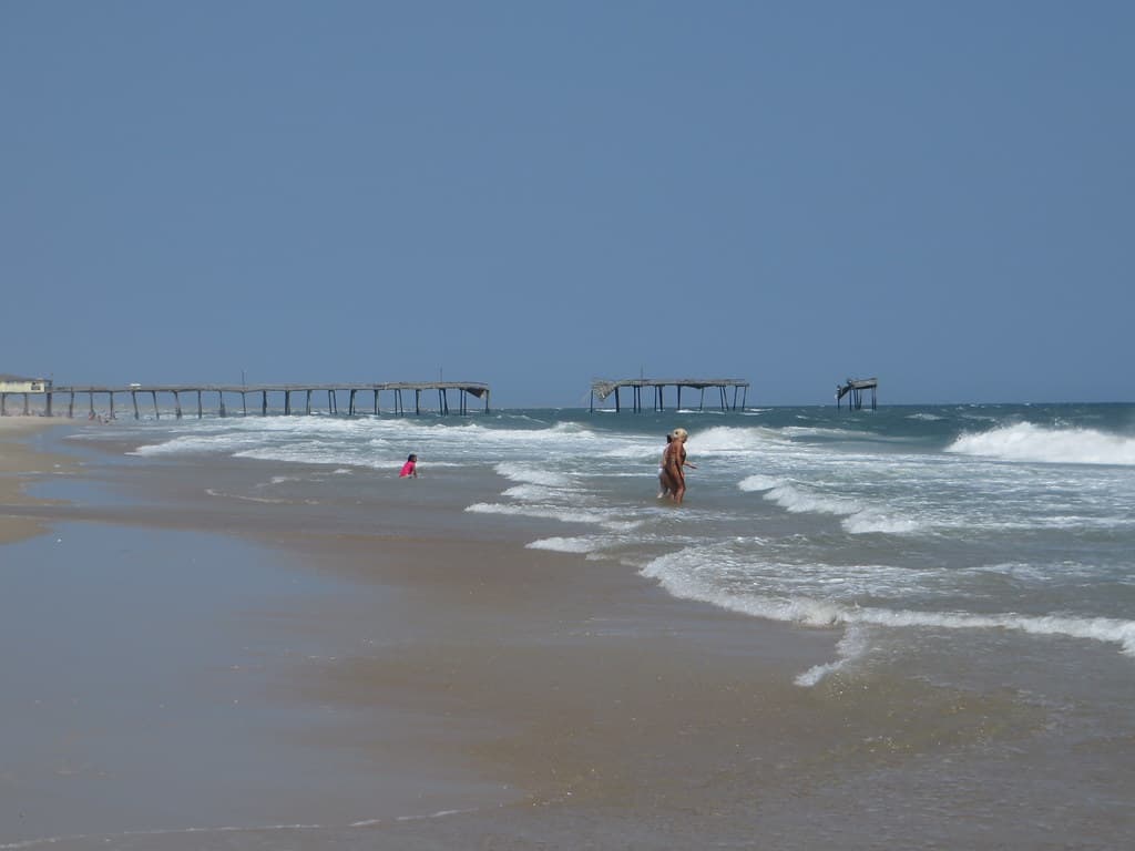
Wavy Frisco Pier, Destroyed in 2010 by Hurricane Earl, Frisco, North Carolina as Seen from Cape Hatteras National Seashore
The water comes in green-gray, its temperature moderated by the Labrador Current until July turns it swimmable. Swells arrive with more punch here than on the sheltered northern beaches; bodyboarders find the inside bar forgiving, surfers eye the outer break on south swells. Between sets, you'll notice the quiet—no pier pilings, no lifeguard whistles after Labor Day, just the hiss of foam and the occasional passing pelican skimming inches above the chop.
Behind the dunes, the old Nags Head cottages—unpainted cedar shingles, screened porches, outdoor showers—sit on pilings like patient herons. They were built in the 1930s and '40s, before zoning tightened, and they're set back just far enough to survive most storms. Walk south toward the Bonner Bridge approach and the crowds thin to near-solitude, even in August. The sand here holds your footprints until the tide or wind erases them.


