Counting the waves…
Counting the waves…
A refined fusion of water purity, environmental stability, and communal vibrancy for Matagorda Peninsula Beach.
View MethodologyAnalyzed via live sensors and environmental data.
Wave height, wind, and atmospheric stability.
Live footfall and crowd balance metrics.
Community reviews and curated sentiment.
“You'll feel the peninsula before you see it—salt spray mingling with the brackish smell of tidal flats, oystershells crunching beneath your tires on the final unpaved stretch. Here, between river mouth and surf, the…”
Limited recent visitor reports — live OBI telemetry is your best guide for current conditions.
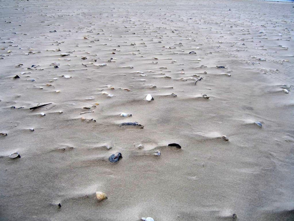
The drive down the peninsula is a commitment, a slow twenty-minute crawl along a shell-and-sand track that ends where pavement gives up and the coast stretches unbroken toward the horizon. Driftwood piles higher than your head mark storm lines; ghost crabs scatter sideways into burrows at your approach. In October, kettles of hawks spiral overhead, riding thermals south. By February, the sandbars off the river mouth host pelicans in formations so tight they look choreographed.
You'll share this beach mostly with fishermen who know the exact hour the tide turns, their trucks backed close to the waterline, rods angled toward the second sandbar. The surf here runs murky green-brown, stained by river tannins and stirred sediment, nothing like the turquoise fantasies of travel brochures. But watch the light: at dusk, the sky ignites in bands of tangerine and plum that stretch unobstructed across the entire western horizon, silhouetting the jackup rigs anchored miles offshore.
 Credit: Unsplash
a person running on a beach near the ocean
 Credit: Unsplash
An aerial view showcases the beach meeting the land
Nothing blocks the western horizon
Driftwood sculptures and Portuguese man o' wars
Launch where river meets Gulf
Where it is
Matagorda Peninsula Beach
Matagorda, Texas, USA
28.588800°, -95.975600°
Weather
Loading…
Swell
—
Temp
Warm · Restorative
UV Index
Moderate
Wind
—
Tidal State
Last known
Max Sunlight
—
Ideal Shade
—
May - Sep (Peak)
Jan - Dec (Off-season)
Historical data suggests peak visibility and stable sea temperatures occur during the prime visitation window.
Select a category to load nearby places.
Unlock restaurants, luxury stays and curated maritime experiences within 2km
Swimming conditions at Matagorda Peninsula Beach vary with weather and tides. The Gulf waters here are generally calm compared to more exposed Texas beaches, but there are no lifeguards on duty. Be cautious of strong currents, especially near the jetties and during storms. The beach is remote, so always swim with a buddy and tell someone your plans. Check local weather and tide forecasts before entering the water, and avoid swimming near fishing piers or boat channels where currents can be unpredictable.
Matagorda Peninsula Beach is accessible year-round, with each season offering different appeals. Spring (March-May) and fall (September-November) provide the most comfortable temperatures for beach activities, typically ranging from 70-85°F with fewer crowds. Summer brings hot, humid weather but warm Gulf waters ideal for swimming. Winter is mild and quiet, perfect for beachcombing and birdwatching, though water temperatures drop significantly. The beach is particularly renowned for stunning sunsets throughout the year. Avoid visiting during hurricane season peaks (August-September) when storms are more likely.
Matagorda Peninsula Beach is located along the Gulf-facing side of the Matagorda Peninsula. From the town of Matagorda, cross the Colorado River via the free ferry or bridge, then follow FM 2031 south. Beach access points are available along the route with pull-off areas for parking directly on the sand in designated zones. A four-wheel-drive vehicle is recommended for driving on the beach. There is no formal parking lot infrastructure, and conditions can be soft, so check tide schedules to avoid getting stuck during high tide.
Matagorda Peninsula Beach is remote with minimal on-site amenities—no restrooms, showers, or food vendors at the beach itself. The nearby town of Matagorda, about 20-30 minutes away, offers a few local restaurants, convenience stores, and limited lodging options including fishing camps and vacation rentals. For more extensive dining and accommodation choices, consider staying in Bay City (approximately 30 miles away) or Palacios. Plan ahead by bringing your own food, water, and supplies, as services are sparse in this undeveloped coastal area.
Matagorda Peninsula Beach stands out for its undeveloped, wild character and relative isolation compared to busier Texas Gulf beaches. The peninsula's remote location means fewer crowds and a pristine, natural shoreline perfect for solitude-seekers. It's particularly favored by surf fishermen, with excellent access for beach driving and casting into productive Gulf waters. The area is also exceptional for birdwatching, as the peninsula lies along major migratory routes. Unlike commercialized beaches, there's no development—just miles of natural dunes, shells, and unobstructed sunset views over the Gulf.
Photos