Counting the waves…
Counting the waves…
A refined fusion of water purity, environmental stability, and communal vibrancy for Playa Caño Clarines.
View MethodologyAnalyzed via live sensors and environmental data.
Wave height, wind, and atmospheric stability.
Live footfall and crowd balance metrics.
Community reviews and curated sentiment.
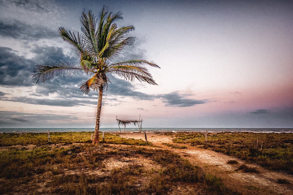
“This isn't a beach in the postcard sense—it's a fluid boundary between land and water, constantly redrawn by tide and sediment. You'll wade through calf-deep channels where the bottom squishes beneath your feet.”
Limited recent visitor reports — live OBI telemetry is your best guide for current conditions.
The caño reveals itself at low tide as a ribbon of darker water cutting through exposed mudflats. Fiddler crabs scuttle sideways into their burrows as you approach, leaving tiny tracks that resemble calligraphy. The air tastes of salt and organic decay, that particular wetland perfume that tells you the ecosystem is working exactly as it should.
Wading into the channel, you feel the current tug gently at your ankles—this water is going somewhere, draining from inland marshes toward the larger lagoon system. Small fish silver the shallows, and an egret stalks deliberately along the bank, neck coiled like a spring. The bottom alternates between firm sand and yielding mud that releases bubbles when you shift your weight. Mangrove seedlings have taken root along the margins, their bright green leaves signaling the forest's slow territorial expansion.
Crystal lagoon with rocky outcrop
White cliffs over a desert beach
Document shifting water and mud
Follow current toward main lagoon
Low-tide walking exposes crab colonies
Prime Visitation
Best Weather | Less Crowds
Where it is
Playa Caño Clarines
Clarines, Anzoátegui, Venezuela
10.081200°, -65.221700°
Weather
Loading…
Swell
—
Temp
Warm · Restorative
UV Index
Moderate
Wind
—
Tidal State
Last known
Max Sunlight
—
Ideal Shade
—
Jan - Dec (Peak)
May - Nov (Off-season)
Best Weather | Less Crowds
Select a category to load nearby places.
Unlock restaurants, luxury stays and curated maritime experiences within 2km
Swimming conditions at this lagoon-channel beach differ from typical ocean beaches. Waters are generally calmer due to the protected lagoon environment, making it safer for families and less confident swimmers. However, as with any wetland area, water quality can vary depending on rainfall and tidal conditions. Visibility may be lower than ocean beaches, and the bottom can be muddy. Always check current conditions locally, avoid swimming after heavy rains when runoff increases, and supervise children carefully around wetland environments.
The dry season from December to April offers the most stable weather conditions with less rainfall and clearer skies. During these months, you'll encounter fewer crowds since this is a hidden gem off the main tourist circuit. The shoulder months of November and May can also be pleasant with reduced visitor numbers. For sunset viewing, arrive in the late afternoon year-round. Weekdays are generally quieter than weekends when local families may visit. Avoid the heaviest rainy season months when wetland areas can experience flooding.
Playa Caño Clarines is located in the Clarines area of Anzoátegui state, along the coastal hinterland fringe. Access typically requires driving from larger cities like Barcelona or Puerto La Cruz, approximately one to two hours depending on your starting point. The beach is not heavily developed, so clear signage may be limited. A local vehicle or taxi service from Clarines town is recommended, as public transport may not reach the exact location. Road conditions can vary, so check locally before traveling, especially during rainy season.
As a hidden, less-developed beach, on-site facilities are minimal to nonexistent. Plan to bring your own food, water, and beach supplies. The nearby town of Clarines offers basic restaurants serving Venezuelan cuisine and small shops for provisions. Lodging options are limited in the immediate area; most visitors stay in larger cities like Barcelona or Puerto La Cruz and make day trips. Some local guesthouses or posadas may be available in Clarines town. Always stock up on essentials before heading to the beach.
This beach is distinctive as a lagoon-channel environment rather than a traditional ocean beach, classified more as wetland habitat. The protected waters create a different ecosystem with unique birdwatching opportunities and scenic wetland landscapes. Sunsets over the lagoon can be spectacular with reflections on calm waters. The hidden nature means you'll likely have a peaceful, uncrowded experience away from tourist developments. The area offers a chance to experience Venezuela's coastal diversity beyond typical sandy beaches, appealing to nature enthusiasts and those seeking tranquility.
Photos