

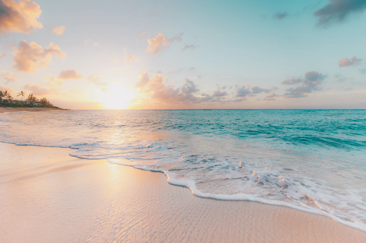
Counting the waves…
Counting the waves…
A refined fusion of water purity, environmental stability, and communal vibrancy for Playa Caño Mamporal.
View MethodologyAnalyzed via live sensors and environmental data.
Wave height, wind, and atmospheric stability.
Live footfall and crowd balance metrics.
Community reviews and curated sentiment.
“You'll need local directions to find this minor estuary shoreline, where a narrow channel called Mamporal delivers inland runoff to the broader lagoon system. A handful of weathered fishing shacks perch on stilts above…”
Limited recent visitor reports — live OBI telemetry is your best guide for current conditions.
The channel itself is barely ten meters wide at low tide, narrowing to a trickle that exposes mudbanks colonized by pioneering mangrove seedlings. At high tide, the flow reverses, pushing lagoon water upstream in a gentle current that carries mullet and the occasional lost tarpon. Local fishermen have staked the channel with gill nets anchored to mangrove branches, checking them twice daily for tilapia and small snapper that venture too close to shore.
The shoreline curves where channel meets lagoon, creating a small bay that fills with remarkably warm water—heated in the shallow channels before mixing with the larger water body. You'll find the bottom soft enough to sink ankle-deep, a combination of silt and decomposed vegetation that squishes between your toes. Wading birds work this transition zone with methodical patience: great egrets stalking the margins, tri-colored herons perched on fallen branches, the occasional roseate spoonbill sweeping its bill through the shallows.
Person walking on a sand spit
Aerial view of turquoise tropical bay
Stilted shacks and gill nets
Walk tidal transition zones
Navigate upstream tidal flow
Prime Visitation
Best Weather | Less Crowds
Where it is
Playa Caño Mamporal
Higuerote, Miranda, Venezuela
10.448900°, -66.064100°
Weather
Loading…
Swell
—
Temp
Warm · Restorative
UV Index
Moderate
Wind
—
Tidal State
Last known
Max Sunlight
—
Ideal Shade
—
Jan - Dec (Peak)
May - Nov (Off-season)
Best Weather | Less Crowds
Select a category to load nearby places.
Unlock restaurants, luxury stays and curated maritime experiences within 2km
Lagoon beaches typically offer calmer swimming conditions than open ocean beaches, making Playa Caño Mamporal generally suitable for swimming. However, estuary-edge locations can have variable water quality and occasional currents from tidal changes. The water is usually calmer and shallower than ocean beaches, which can be ideal for less confident swimmers. Always observe the water before entering and be mindful that facilities like lifeguards are unlikely at this hidden location. Local knowledge is valuable, so watch where residents swim.
The best weather occurs during Venezuela's dry season, typically December through April, when you'll also find fewer crowds. This lagoon beach is particularly scenic during golden hour for sunset photography. The combination of best weather and less crowded conditions makes weekday visits in the dry season ideal. The hidden nature of this beach means it rarely gets crowded even during peak tourist season. For wildlife and bird watching, early mornings offer the most activity around the estuary environment.
As a minor estuary-edge shoreline often missed on generic maps, reaching Playa Caño Mamporal requires local knowledge. From Higuerote, you'll likely need a taxi or private vehicle, and it's helpful to have a Spanish-speaking guide or clear directions from locals. The beach isn't prominently signposted, so GPS coordinates or detailed local directions are essential. Some visitors arrange transportation through their accommodations in Higuerote. The journey itself offers scenic views of the lagoon and estuary landscape characteristic of this region.
This hidden beach has minimal on-site infrastructure. Your best option is to base yourself in Higuerote town where you'll find budget-friendly hotels, posadas, and guesthouses. Pack food and drinks for your beach visit as you're unlikely to find vendors at this remote location. Some visitors bring picnics to enjoy the scenic setting. Fresh seafood and local Venezuelan cuisine are available in Higuerote's restaurants. The area's budget-friendly nature means accommodation costs remain reasonable throughout the region.
This beach's estuary-edge location creates a unique ecosystem rarely experienced by typical tourists. The lagoon setting provides distinctive scenery with mangroves and wetland birds not found at ocean beaches. Its hidden status and absence from most tourist maps means you'll likely have the beach largely to yourself. The scenic quality is enhanced by the calm lagoon waters and natural vegetation. It offers sunset views with reflections on still water, creating photography opportunities distinct from typical Caribbean beaches. Nature enthusiasts particularly appreciate the biodiversity.
Photos