
Counting the waves…
Counting the waves…
A refined fusion of water purity, environmental stability, and communal vibrancy for Playa Estrecho de Magallanes.
View MethodologyAnalyzed via live sensors and environmental data.
Wave height, wind, and atmospheric stability.
Live footfall and crowd balance metrics.
Community reviews and curated sentiment.
“The strait unfolds before you, its waters shifting between slate and silver as clouds race overhead. You're beyond the established trails now, on a beach that sees more seals than humans, where the stones tell stories…”
Limited recent visitor reports — live OBI telemetry is your best guide for current conditions.
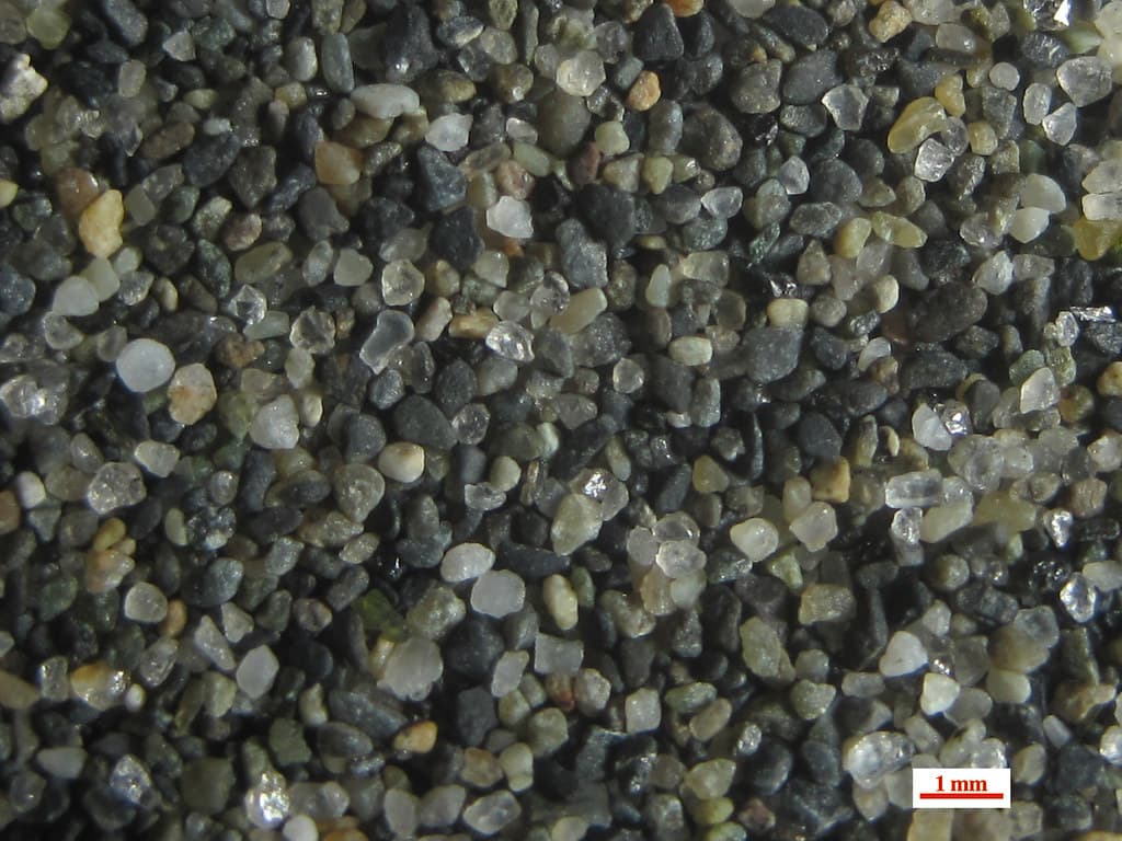
This stretch of shore offers the most direct confrontation with the Strait of Magellan itself, unmediated by lighthouse or penguin colony. The beach curves gently, oriented westward so you face directly into the channel that connects two oceans. Pebbles here show remarkable variety—volcanic basalt alongside sedimentary sandstone, some veined with quartz that catches occasional sunlight. The strand line is marked with kelp holdfasts the size of soccer balls, their root systems still clutching stones torn from deeper waters.
The strait's mood changes hourly. Morning might bring glassy calm with perfect reflections of Tierra del Fuego's northern shore. By afternoon, the prevailing westerlies whip the surface into whitecaps that march eastward toward the Atlantic. The water color shifts from steel gray to deep green depending on light and current. You can sit among the larger boulders that punctuate the upper beach, finding shelter from wind while watching cargo ships and occasional cruise vessels navigate the historic passage.
Waters shift with weather
Miles of empty shore
Channel bathed in color
Prime Visitation
Anytime | Less Crowds
Where it is
Playa Estrecho de Magallanes
Cabo Vírgenes, Santa Cruz, Argentina
-52.343800°, -68.374600°
Weather
Loading…
Swell
—
Temp
Warm · Restorative
UV Index
Moderate
Wind
—
Tidal State
Last known
Max Sunlight
—
Ideal Shade
—
Jan - Dec (Peak)
Mar - Nov (Off-season)
Anytime | Less Crowds
Select a category to load nearby places.
Unlock restaurants, luxury stays and curated maritime experiences within 2km
Swimming is not safe at Playa Estrecho de Magallanes due to frigid water temperatures, powerful currents characteristic of the Strait of Magellan entrance, and unpredictable Patagonian weather. The combination of Atlantic Ocean and strait waters creates particularly dangerous conditions. The remote pebble beach lacks lifeguards or emergency services. Visitors should appreciate this beach for its stunning scenery, sunset photography opportunities, and historical significance rather than water activities. Always exercise extreme caution near the water's edge and be aware of sudden weather changes common in this exposed coastal location.
Playa Estrecho de Magallanes is accessible year-round, with summer months (December-March) offering the most favorable conditions including milder weather and extended daylight. The beach is particularly spectacular at sunset when the western sky illuminates the strait with dramatic colors, making late afternoon visits during summer ideal. Spring (September-November) and autumn (March-May) provide good weather with minimal crowds. Winter visits offer stark beauty but require preparation for harsh winds and cold. Combine your visit with the penguin colony season (September-April) for a fuller Cabo Vírgenes experience.
Playa Estrecho de Magallanes is reached via the Cabo Vírgenes area, approximately 130 kilometers south of Río Gallegos on Provincial Route 1. A rental car is necessary as no public transportation serves this remote region, or you can join organized tours from Río Gallegos. The road transitions from pavement to gravel, requiring 2-3 hours of driving. After entering the Cabo Vírgenes Natural Reserve and paying entrance fees, access points to the strait-facing beaches are available. Road conditions vary seasonally, so check local information before traveling.
Food and lodging options are not available at Playa Estrecho de Magallanes itself. Río Gallegos, located 130 kilometers to the north, provides the nearest comprehensive services including hotels, hostels, restaurants, and supermarkets for supplies. The Cabo Vírgenes reserve has a visitor center with basic facilities and potentially limited refreshments during peak tourist season. Most visitors undertake day trips from Río Gallegos. Given the remote location and changeable weather, bringing adequate food, water, warm clothing, and emergency supplies is essential for any visit to this isolated coastal area.
Playa Estrecho de Magallanes offers a unique perspective directly facing the historic Strait of Magellan entrance, providing unobstructed views of this legendary maritime passage where countless explorers have sailed since Ferdinand Magellan's 1520 voyage. The beach's position allows visitors to witness the meeting of Atlantic waters with the strait, often with Chilean Tierra del Fuego visible across the water. The remote, undeveloped setting preserves the wild character of this significant geographic location. Sunset views are particularly dramatic, with light playing across the strait's waters and distant mountains.