
Counting the waves…
Counting the waves…
A refined fusion of water purity, environmental stability, and communal vibrancy for Boomerang Beach.
View MethodologyAnalyzed via live sensors and environmental data.
Wave height, wind, and atmospheric stability.
Live footfall and crowd balance metrics.
Community reviews and curated sentiment.
“You'll feel the offshore wind before you see the arc—Boomerang's namesake curve frames white-capped sets peeling across exposed rock platforms. The scent of salt and melaleuca mingles as banksia trees lean toward the…”
Limited recent visitor reports — live OBI telemetry is your best guide for current conditions.
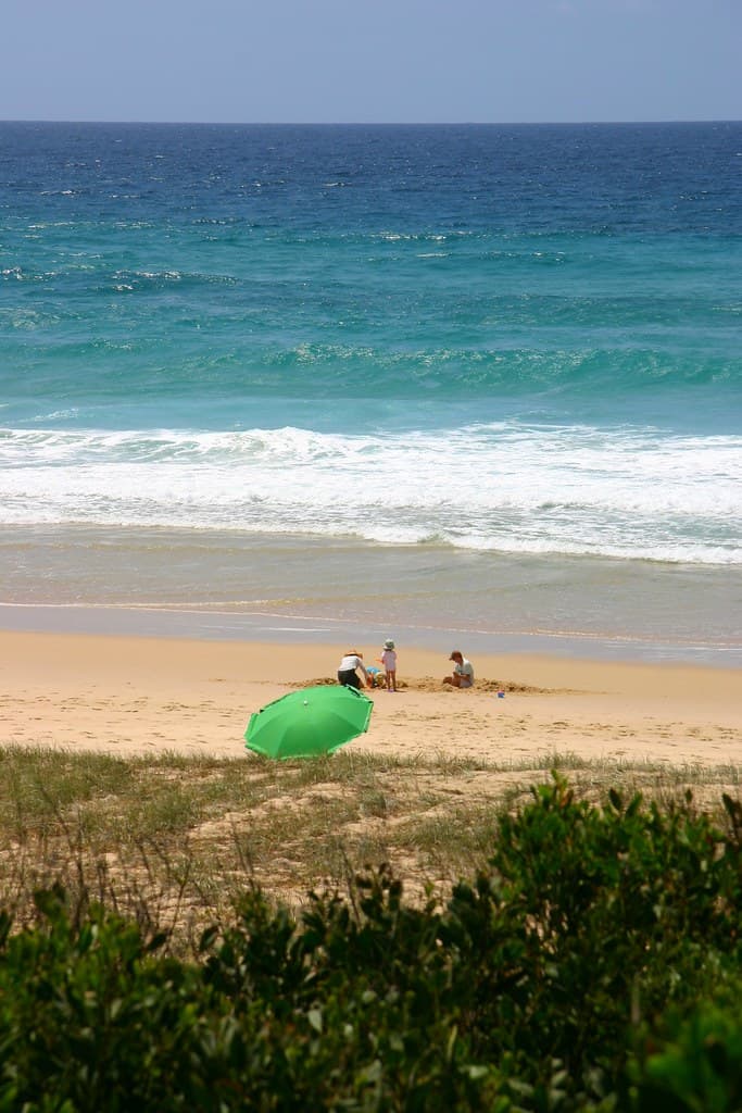
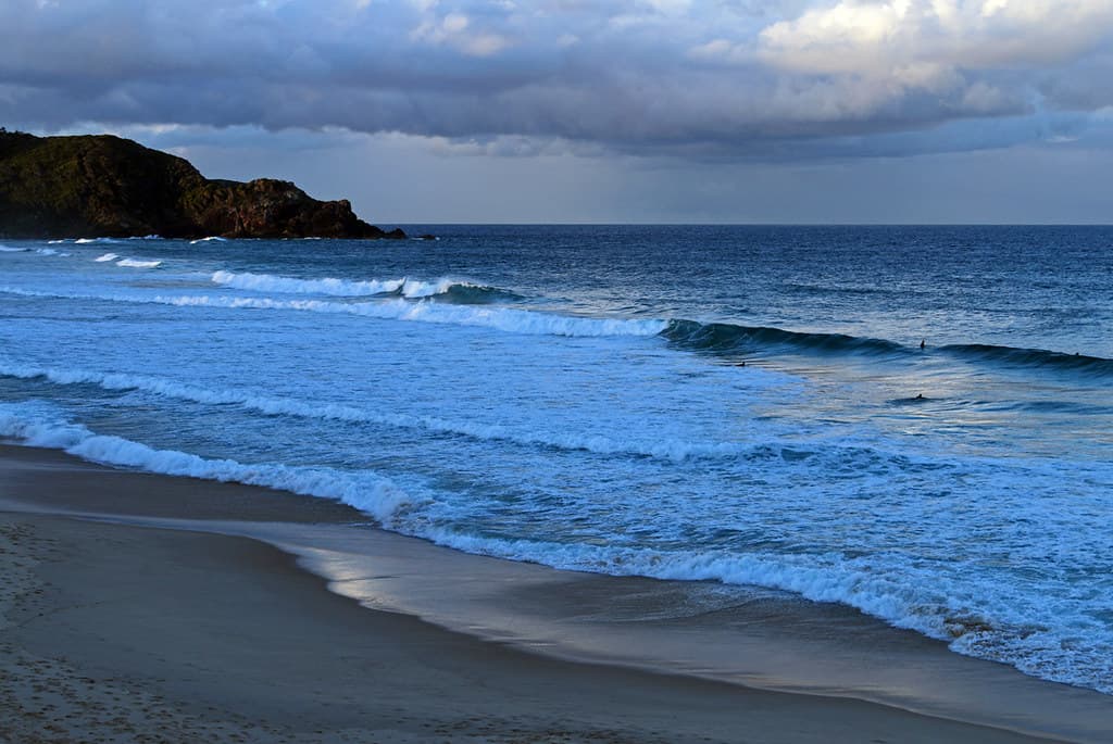
The first thing you notice isn't the shape—though the crescent is unmistakable from the clifftop car park—but the sound. Boomerang's reef break detonates with a bass thump that reverberates through the sandstone headlands, a metronome audible from the weatherboard cottages lining Boomerang Drive. You'll descend wooden stairs to find a beach that delivers on its cult status: peeling right-handers off the southern rocks, forgiving beach breaks in the middle, and a rip that veteran locals read like a familiar novel.
Mid-morning, the offshore northwesterlies groom the swell into glassy walls. Wetsuit-clad figures bob beyond the break, waiting with the patience of herons. Between sets, you can walk the entire crescent in eight minutes, your feet sinking into coarse, mineral-heavy sand studded with cuttlebone and banksia cones. The rockshelf at low tide reveals anemones the color of pomegranate and cunjevoi gripping barnacled stone.
Credit: FlickrRide the right-hander
Credit: FlickrClimb Cape Hawke
Reef break off southern rocks
Lighthouse views over crescent bay
Capture the namesake curve
Where it is
Boomerang Beach
Boomerang Beach, New South Wales, Australia
-32.342700°, 152.535800°
Weather
Loading…
Swell
—
Temp
Warm · Restorative
UV Index
Moderate
Wind
—
Tidal State
Last known
Max Sunlight
—
Ideal Shade
—
Jan - Dec (Peak)
Mar - Nov (Off-season)
Historical data suggests peak visibility and stable sea temperatures occur during the prime visitation window.
Select a category to load nearby places.
Unlock restaurants, luxury stays and curated maritime experiences within 2km
Boomerang Beach is patrolled by lifeguards during peak summer holidays and weekends, making it safer for swimming during these times. The beach experiences moderate to strong surf conditions, so swimmers should stay between the red and yellow flags when lifeguards are on duty. Rips and currents can be present, particularly after storms or during high tide. The northern end tends to be calmer for families, while the southern end attracts experienced surfers. Always check conditions before entering the water and swim only when lifeguards are present if you're inexperienced.
Boomerang Beach is enjoyable year-round, with each season offering different experiences. Summer (December-February) brings warm weather ideal for swimming, though it's the busiest period. Autumn (March-May) offers pleasant temperatures, fewer crowds, and excellent surf conditions. Winter (June-August) is popular with surfers seeking consistent swells, though water temperatures drop, requiring wetsuits. Spring (September-November) sees warming weather and whale watching opportunities. For the best balance of good weather and smaller crowds, visit during shoulder seasons of autumn and spring.
Boomerang Beach is located approximately 3 hours north of Sydney and 40 minutes south of Forster-Tuncurry via the Pacific Highway. From the highway, take the turn-off to Pacific Palms and follow Boomerang Drive. There's a small car park at the beach access point on Boomerang Drive, which can fill quickly during peak periods, especially summer weekends and holidays. Additional parking is available along nearby streets. The beach is accessible via a short walking path from the car park. Arriving early in the morning ensures better parking availability.
Boomerang Beach itself has limited facilities, with no cafes or restaurants directly on the beach. However, nearby Blueys Beach (5-minute drive) and Pacific Palms village offer cafes, restaurants, and shops. Accommodation ranges from beachfront holiday houses and apartments to caravan parks and camping grounds in the surrounding area. The closest full-service town is Forster-Tuncurry, about 25 kilometers north, which has supermarkets, restaurants, and additional lodging options. Many visitors opt for self-contained holiday rentals in the Pacific Palms area to enjoy the relaxed beach atmosphere.
Boomerang Beach derives its name from its distinctive crescent or boomerang shape, created by the natural curve of the coastline between two rocky headlands. This unique geography creates different surf conditions along the beach – the center typically receives the best waves, while the corners offer more sheltered spots. The curved shape also provides scenic views from both headlands, making it particularly photogenic. The northern headland offers excellent vantage points for whale watching during migration season (May-November), while the southern headland is popular for photography at sunrise and sunset.
Photos