
Counting the waves…
Counting the waves…
A refined fusion of water purity, environmental stability, and communal vibrancy for Fortescue Bay.
View MethodologyAnalyzed via live sensors and environmental data.
Wave height, wind, and atmospheric stability.
Live footfall and crowd balance metrics.
Community reviews and curated sentiment.
“You'll round the final bend of gravel road and spot the bay framed by she-oak branches—a sweep of pale sand wedged between buttongrass moorland and cobalt water. Wombats shuffle across the campground at dusk while waves…”
Limited recent visitor reports — live OBI telemetry is your best guide for current conditions.
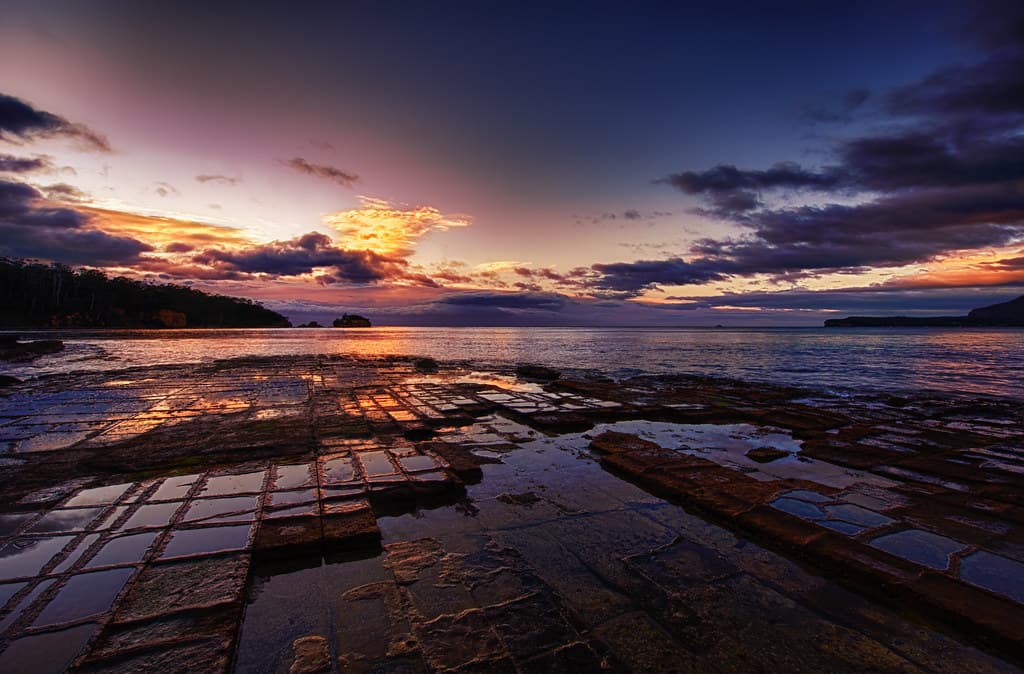
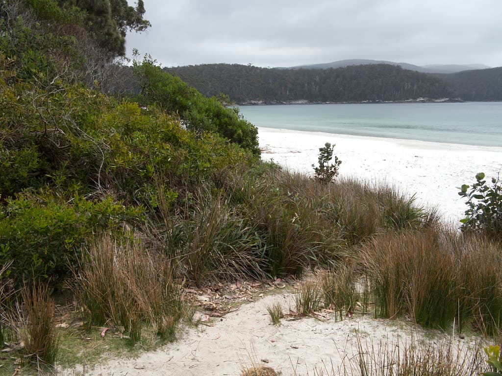
Fortescue Bay sits at the end of a corrugated track that discourages casual visitors, ensuring you share the beach with wallabies as often as people. The sand here feels coarser underfoot than city beaches, studded with fragments of shell and kelp that the Southern Ocean deposits twice daily. Behind the shoreline, scribbly gums lean toward the water, their paperbark peeling in long scrolls that collect in drifts near the high-tide mark.
The bay curves into protected waters where families wade while their children hunt for periwinkles in rockpools stippled with orange lichen. On your left, the Cape Hauy track begins its climb through coastal heath—banksias release their honeyed scent in summer, and the path rewards walkers with granite columns that plunge into churning sea. Even in January, the water temperature hovers around fifteen degrees Celsius, a bracing reminder that you're swimming in waters that stretch unbroken to Antarctica.
Credit: FlickrCape Hauy Track
Four hours to dolerite spires
Wetsuit recommended year-round
Golden light on granite cliffs
Where it is
Fortescue Bay
Hobart, Tasmania, Australia
-43.051000°, 147.869000°
Weather
Loading…
Swell
—
Temp
Warm · Restorative
UV Index
Moderate
Wind
—
Tidal State
Last known
Max Sunlight
—
Ideal Shade
—
Jan - Dec (Peak)
Mar - Nov (Off-season)
Historical data suggests peak visibility and stable sea temperatures occur during the prime visitation window.
Select a category to load nearby places.
Unlock restaurants, luxury stays and curated maritime experiences within 2km
Fortescue Bay is generally calmer than ocean-facing beaches, making it suitable for swimming in settled conditions. However, there are no lifeguards on duty, and the water can be quite cold year-round (typically 10-17°C). Conditions vary with weather, and the bay can experience strong currents during storms or high winds. Always check weather forecasts before swimming, avoid entering the water during rough conditions, and supervise children closely. The beach is remote, so mobile reception may be limited for emergencies.
Fortescue Bay can be visited year-round, but summer (December-February) offers the warmest weather and most comfortable camping conditions, with temperatures around 17-23°C. Autumn (March-May) provides beautiful colours and fewer crowds, though cooler temperatures. Winter and spring can be cold and windy, but offer dramatic scenery and excellent whale-watching opportunities during migration season (June-July and September-November). Book campsites well in advance for peak summer periods, as availability is limited and this popular spot fills quickly.
Fortescue Bay is located in Tasman National Park, approximately 90 minutes' drive from Hobart. Take the A3 to Sorell, then follow the C338 (Arthur Highway) toward Port Arthur, turning onto the C340 to Fortescue Bay. The final 10km is unsealed gravel road, suitable for most vehicles in dry conditions but potentially challenging when wet. A vehicle park pass is required (available at the site or online through Parks Tasmania). Parking is available at the campground and near the beach access points.
Fortescue Bay has a basic campground with unpowered sites, pit toilets, and picnic tables, but no shops, restaurants, or supplies. Campers must bring all food, water, cooking equipment, and camping gear. The nearest services are in Nubeena (30km) or Port Arthur (25km), where you can find cafes, shops, and accommodation. Mobile phone coverage is very limited or non-existent. Book campsites in advance through Parks Tasmania's website, especially during summer. For non-campers, Port Arthur offers various accommodation options nearby.
Fortescue Bay is the starting point for several excellent walks, including the popular Cape Hauy Track (approximately 4 hours return), which offers stunning coastal cliff views and is part of the Three Capes Track system. The Canoe Bay and Mount Fortescue circuits also start here, providing beautiful coastal and forest scenery. These hikes showcase the dramatic dolerite sea cliffs and diverse wildlife of Tasman National Park. Ensure you carry adequate water, sun protection, and wear sturdy footwear as trails can be rocky and exposed.
Photos