Counting the waves…
Counting the waves…
A refined fusion of water purity, environmental stability, and communal vibrancy for James Price Point Beach.
View MethodologyAnalyzed via live sensors and environmental data.
Wave height, wind, and atmospheric stability.
Live footfall and crowd balance metrics.
Community reviews and curated sentiment.
“You'll drive forty minutes north of Broome on a corrugated dirt track to reach this rust-streaked headland, where ochre dust settles on your skin and humpback whales breach beyond the reef. The shoreline stretches empty…”
Limited recent visitor reports — live OBI telemetry is your best guide for current conditions.
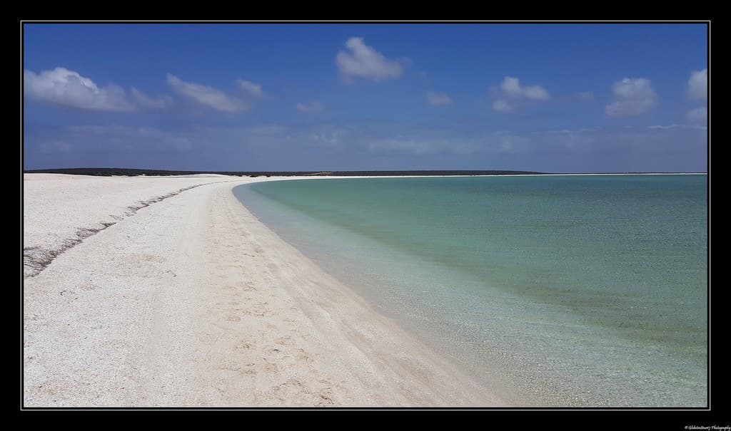
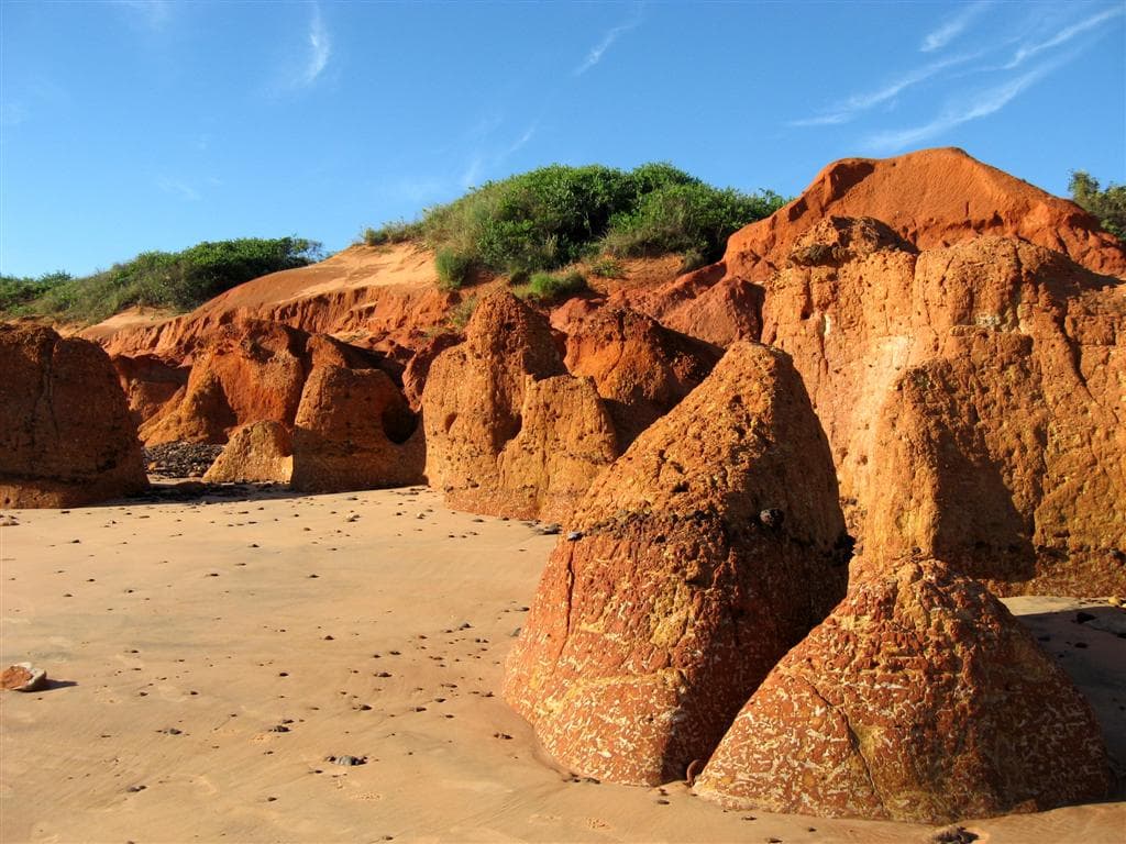
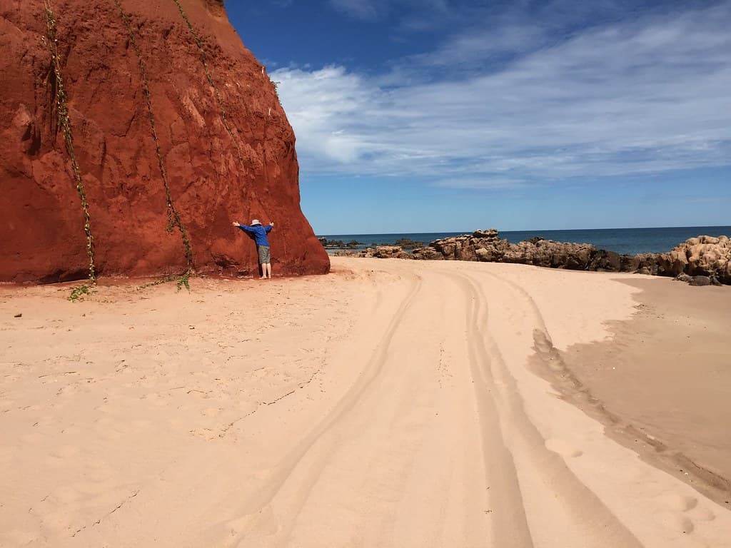
The turn-off from the Broome–Cape Leveque Road is unmarked save for a faded sign, and the four-wheel-drive track dips through spinifex and acacia until the Indian Ocean appears as a strip of impossible blue. You'll park on red dirt hardpan and walk through low scrub to the cliff edge, where the land simply ends—sheer ochre walls dropping to a beach the colour of burnt honey. At low tide, exposed reef platforms reveal 130-million-year-old sauropod tracks, three-toed impressions pressed into Cretaceous mud now hardened to stone.
The beach curves north beneath the cliffs, a ribbon of coarse sand littered with bleached driftwood and fragments of coral. Waves fold onto the shore in lazy turquoise scrolls, warm even in the dry season, while offshore the water deepens to indigo where the continental shelf falls away. Between June and October, humpback whales cruise past on their northern migration, blowing spouts visible from the clifftop.
Credit: FlickrDinosaur Track Hunt
Low tide reveals sauropod prints
Late afternoon light ignites red
Protected swimming inside the reef
Where it is
James Price Point Beach
Broome, Western Australia, Australia
-17.637700°, 122.434700°
Weather
Loading…
Swell
—
Temp
Warm · Restorative
UV Index
Moderate
Wind
—
Tidal State
Last known
Max Sunlight
—
Ideal Shade
—
May - Sep (Peak)
Jan - Dec (Off-season)
Historical data suggests peak visibility and stable sea temperatures occur during the prime visitation window.
Select a category to load nearby places.
Unlock restaurants, luxury stays and curated maritime experiences within 2km
Swimming at James Price Point Beach requires extreme caution year-round. The beach is remote and unpatrolled, with strong currents, large waves, and no lifeguard services. The waters are home to saltwater crocodiles and marine stingers, particularly during the wet season (November to April). Box jellyfish pose serious risks during these months. Most visitors enjoy the beach for its scenery and beachcombing rather than swimming. If you choose to enter the water, stay close to shore, never swim alone, and always check local conditions and wildlife warnings first.
The dry season (May to October) is ideal for visiting James Price Point Beach, offering comfortable temperatures, minimal rainfall, and lower humidity. Days are warm and sunny, perfect for beach walks and photography. The wet season (November to April) brings monsoonal rains, high humidity, extreme heat, and increased marine stinger activity, making beach activities less pleasant. Winter months (June to August) provide the most comfortable conditions with cooler temperatures. However, the beach's natural beauty and seclusion make it worthwhile year-round if you're prepared for seasonal conditions.
James Price Point Beach is located approximately 60 kilometers north of Broome via the Cape Leveque Road. You'll need a 4WD vehicle as the unsealed road can be challenging, especially after rain. The journey takes about 90 minutes from Broome. There's basic parking available near the beach access point, but facilities are minimal. The road requires caution, and it's recommended to check current conditions before departure. Some sections may be impassable during the wet season. Consider joining a guided tour if you don't have appropriate vehicle access.
James Price Point Beach is extremely remote with no facilities, amenities, restaurants, or accommodation directly at the beach. Visitors must bring all supplies, including food, water, and sun protection. The nearest services are in Broome, 60 kilometers south. Some eco-lodges and Aboriginal-run camps exist along Cape Leveque Road, offering basic accommodation options. There are no toilets, showers, or shops at the beach itself. Plan to be completely self-sufficient, pack out all rubbish, and prepare for a true wilderness beach experience with no mobile phone coverage.
James Price Point, known as Walmadany to the Goolarabooloo people, holds deep cultural and spiritual significance to the local Indigenous community. The area is part of traditional lands with important songlines, stories, and sacred sites spanning thousands of years. It gained national attention during proposed gas development projects that sparked environmental and cultural heritage debates. Many visitors come to appreciate the pristine landscape that Indigenous communities fought to protect. When visiting, respect cultural sites, follow local guidance, and acknowledge the traditional custodians of this special place.
Photos