Counting the waves…
Counting the waves…
A refined fusion of water purity, environmental stability, and communal vibrancy for Marokopa River Mouth Beach.
View MethodologyAnalyzed via live sensors and environmental data.
Wave height, wind, and atmospheric stability.
Live footfall and crowd balance metrics.
Community reviews and curated sentiment.
“The river arrives from inland valleys carrying tea-colored water that spreads across the beach in shifting channels. Some days the mouth points north, carving against the cliffs; other days it swings south and empties…”
Limited recent visitor reports — live OBI telemetry is your best guide for current conditions.
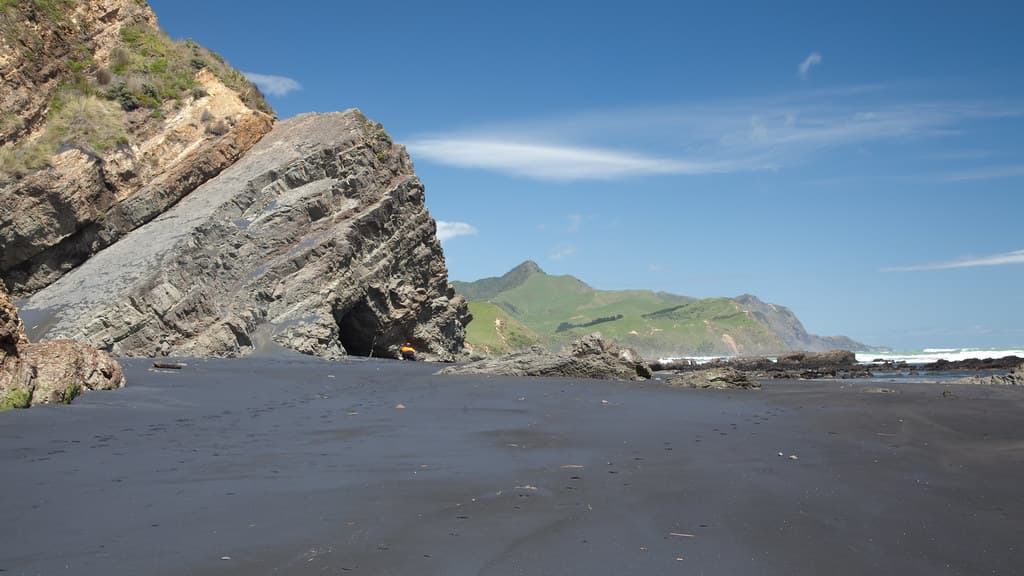
You stand where the river loses its name and becomes something else—a delta that remakes itself with every tide and flood. The Marokopa cuts through black iron sand in channels that shift like restless thoughts, sometimes a single braid, other times a dozen rivulets spreading across a hundred metres of beach. Driftwood collects at the high-tide line in massive tangles: entire trees stripped silver, root balls the size of cars, logs stacked like a giant's game of pickup sticks.
The river water runs tea-dark from tannins leached from the inland bush, while the Tasman rolls in blue-green and foaming. Where they meet, the colors refuse to blend immediately—brown and blue swirl in marbled patterns until the ocean's salt finally wins. You can wade the river mouth at low tide, feeling the current tug at your calves while waves crash twenty metres offshore. Kids jump from the riverbank into pools scooped by the current. Kahawai run thick in summer, and you'll see locals casting from the northern spit where the river cuts deepest.
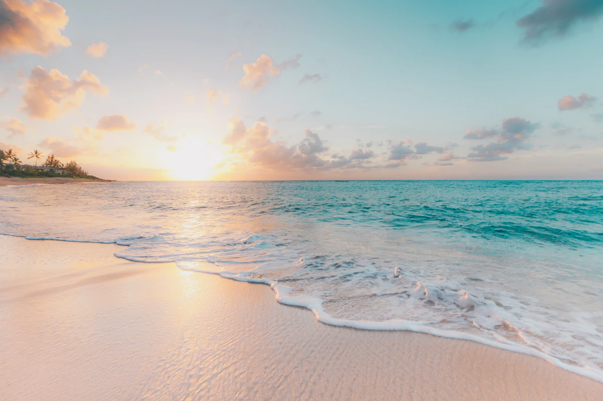
Wide white-sand beach with footprints
Cliff-edge cove with emerald water
Kahawai run in summer months
River pools warm at midday
Limestone formations north of mouth
Prime Visitation
Best Weather|Less Crowds
Where it is
Marokopa River Mouth Beach
Marokopa, Waikato, New Zealand
-38.306200°, 174.714200°
Weather
Loading…
Swell
—
Temp
Warm · Restorative
UV Index
Moderate
Wind
—
Tidal State
Last known
Max Sunlight
—
Ideal Shade
—
Jan - Dec (Peak)
Mar - Nov (Off-season)
Best Weather|Less Crowds
Select a category to load nearby places.
Unlock restaurants, luxury stays and curated maritime experiences within 2km
Swimming at river mouth beaches requires caution due to unpredictable currents where river flow meets ocean tides. The mixing waters can create strong rips and variable depths. Conditions change with tides and river flow levels, particularly after heavy rain. There are no lifeguard services at this remote location. Supervise children closely and avoid swimming near the river channel where currents are strongest. The beach is better suited for paddling in shallow areas, fishing, and beach walks rather than open-water swimming.
Summer months (December to February) offer the most reliable weather and warmest temperatures for visiting. The beach experiences fewer crowds year-round due to its remote location. Sunset visits are particularly scenic as the sun sets over the Tasman Sea. Check tides before visiting, as low tide exposes more beach area and interesting formations. Avoid visiting during or immediately after heavy rainfall when the river can be swollen and dangerous. Early morning visits offer excellent light for photography and peaceful conditions.
Marokopa is accessed via Marokopa Road from State Highway 3 near Te Kuiti or Waitomo, approximately 75 minutes drive on winding, partly unsealed roads. The beach is located directly beside Marokopa village. The final section of road can be rough, so drive carefully and allow extra time. A standard vehicle can usually make the journey in dry conditions, but check local road conditions after heavy rain. There is no public transport to Marokopa. Fuel up in Waitomo or Te Kuiti as there are limited services in the village.
Marokopa is a small village with very limited services. Basic provisions may be available locally, but it's best to bring supplies from Te Kuiti or Waitomo. Accommodation options include holiday homes, camping areas, and bach rentals that should be booked well in advance, especially during summer and school holidays. The nearest towns with supermarkets, cafes, and a wider range of accommodation are Te Kuiti and Waitomo, both approximately an hour's drive away. Pack a picnic for beach visits as there are no beachside cafes.
This beach offers a distinctive river-meets-ocean landscape rarely found elsewhere in Waikato. The dramatic black sand coastline is characteristic of the rugged west coast, framed by the Marokopa River valley. The area is known for its remote, unspoiled character and is part of a region featuring limestone formations, caves, and waterfalls inland. Fossils can sometimes be found along the shore. The beach provides excellent sunset photography opportunities and a genuine off-the-beaten-path New Zealand coastal experience with minimal development or tourist infrastructure nearby.
Photos