Counting the waves…
Counting the waves…
A refined fusion of water purity, environmental stability, and communal vibrancy for Hurricane River Beach.
View MethodologyAnalyzed via live sensors and environmental data.
Wave height, wind, and atmospheric stability.
Live footfall and crowd balance metrics.
Community reviews and curated sentiment.
“You'll hear the river before you see the beach—a low rumble through white pine forest that opens onto a crescent of cobblestones where freshwater meets the largest Great Lake. The air smells of balsam and wet stone, and…”
Limited recent visitor reports — live OBI telemetry is your best guide for current conditions.
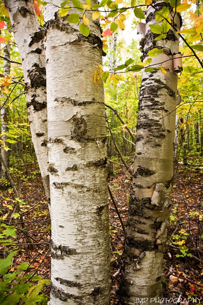
The mile-long trail from the Au Sable Light Station descends through a cathedral of hemlock and birch, depositing you at the mouth of the Hurricane River where rust-colored water braids across a stone delta before surrendering to Superior's indigo expanse. This isn't sand-between-your-toes territory—the beach is a jumble of Lake Superior agates, driftwood smoothed to bone-white, and stones that click underfoot like a slow round of applause.
You'll share the shoreline with mergansers and the occasional black bear ambling down for a drink. The water temperature rarely climbs above fifty-five degrees, even in August, which keeps casual swimmers at bay and preserves the beach's solitude. Paddlers launch kayaks here to explore the nearby shipwreck coast, where nineteenth-century schooners rest in water so clear you can count their ribs from the surface.
Credit: FlickrLighthouse Trail
Forest path to Au Sable
Lake-polished stones after storms
Clear water reveals hull remains
Where it is
Hurricane River Beach
Munising, Michigan, USA
46.503200°, -86.222100°
Weather
Loading…
Swell
—
Temp
Warm · Restorative
UV Index
Moderate
Wind
—
Tidal State
Last known
Max Sunlight
—
Ideal Shade
—
May - Sep (Peak)
Jan - Dec (Off-season)
Historical data suggests peak visibility and stable sea temperatures occur during the prime visitation window.
Select a category to load nearby places.
Unlock restaurants, luxury stays and curated maritime experiences within 2km
Hurricane River Beach sits on Lake Superior, where water temperatures remain extremely cold year-round, typically 40-55°F even in summer. Swimming is possible but challenging due to the frigid water and occasional strong currents. There are no lifeguards on duty. Most visitors wade in the shallows or enjoy the beach without swimming. The river mouth area can have unpredictable currents where river and lake waters meet. Always exercise caution, never swim alone, and be prepared for the shock of cold water if you enter.
Summer months from June through September offer the warmest weather and most comfortable beach conditions, with temperatures ranging from 60-75°F. Fall (September-October) brings stunning foliage colors and fewer crowds, though cooler temperatures. The beach is accessible year-round, and winter visits offer dramatic ice formations and solitude, but require proper cold-weather gear. Spring can be muddy with unpredictable weather. For the best combination of pleasant weather and scenic beauty, aim for late June through early September.
Hurricane River Beach is located within Pictured Rocks National Lakeshore, about 12 miles west of Grand Marais. From Munising, take H-58 east for approximately 35 miles. There's a dedicated parking area at the Hurricane River Campground/Day Use Area. From the parking lot, it's a short, easy walk to the beach. The road is paved but can be narrow and winding. A Recreation Passport (Michigan state parks pass) or National Park Pass is required for parking. GPS coordinates are helpful as cell service can be limited.
Hurricane River Beach has basic facilities including vault toilets and a picnic area, but no food services. The nearest restaurants and grocery stores are in Grand Marais (12 miles east) or Munising (35 miles west). Pack your own food, water, and supplies. The adjacent Hurricane River Campground offers primitive camping with 21 sites. For lodging, Grand Marais and Munising have hotels, motels, and vacation rentals. There's potable water at the campground during summer months. Plan to be self-sufficient during your visit.
Yes, the Au Sable Light Station (often called Hurricane River Lighthouse) is visible from Hurricane River Beach and accessible via a scenic 1.5-mile hiking trail along the coast. The trail follows the shoreline through forest and offers beautiful Lake Superior views. The lighthouse, built in 1874, sits on a bluff overlooking the lake. During summer, ranger-led tours of the lighthouse are available. The walk from the beach to the lighthouse is moderately easy and takes about 30-45 minutes one way, making it a popular activity for beach visitors.
Photos