Counting the waves…
Counting the waves…
A refined fusion of water purity, environmental stability, and communal vibrancy for Sunset Bay Beach.
View MethodologyAnalyzed via live sensors and environmental data.
Wave height, wind, and atmospheric stability.
Live footfall and crowd balance metrics.
Community reviews and curated sentiment.
“You'll smell salt and spruce as you descend the trail to this sheltered crescent, where barnacled rocks frame knee-deep pools at low tide. Children crouch beside purple urchins while you scan the horizon for spouting…”
Limited recent visitor reports — live OBI telemetry is your best guide for current conditions.
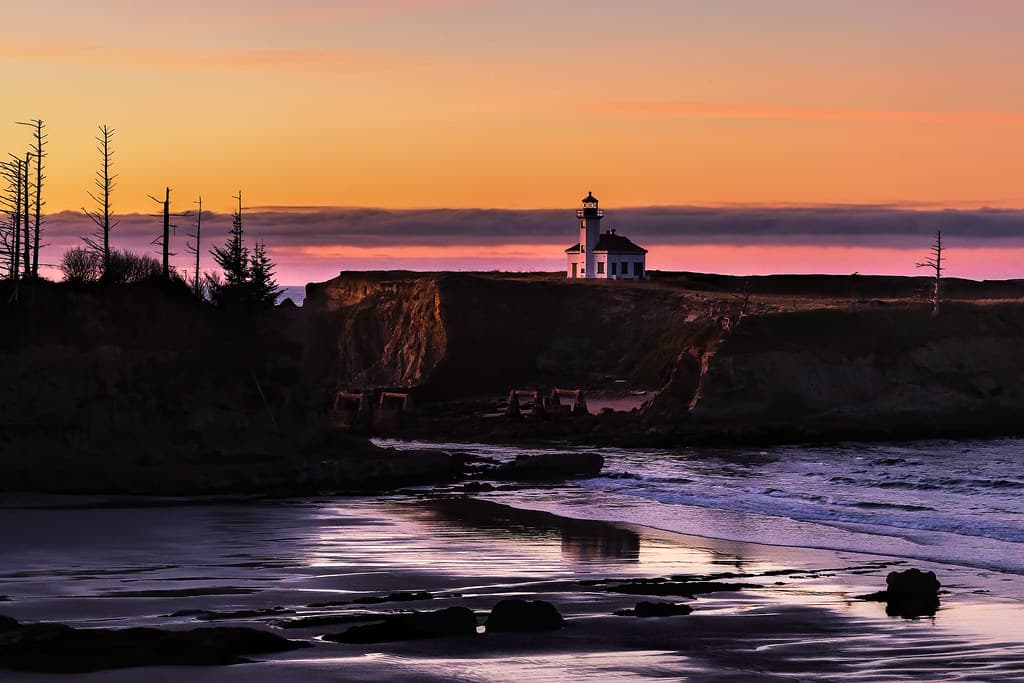
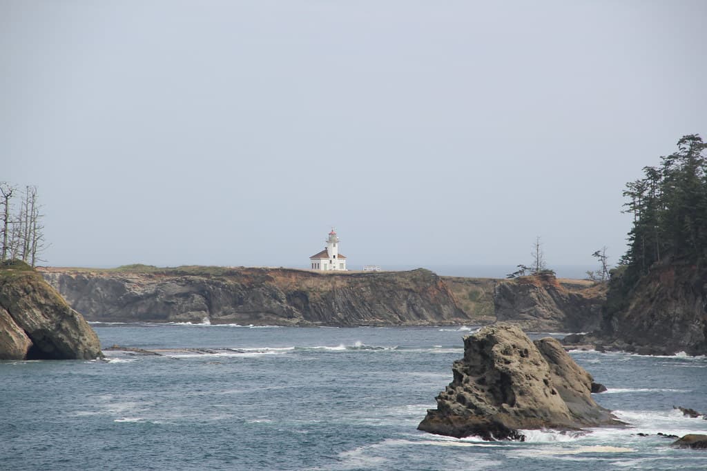
Sunset Bay earns its name twice daily when light floods the hundred-yard cove, turning vertical sandstone bluffs from rust to copper. The arc of beach sits protected by headlands on three sides, creating water calm enough for wading even when Pacific swells hammer the outer coast a quarter-mile west. Driftwood logs mark the high-tide line, smoothed white by decades of winter storms.
At minus tides, the southern rocks reveal galaxies of ochre stars, green anemones with tentacles like wet fingers, and hermit crabs dragging borrowed shells across granite worn smooth as river stone. You'll find families here at eight in the morning and again at four, timing visits to tide tables printed at the ranger station. The campground loops through shore pine just above the beach, close enough to hear waves but sheltered from wind.
Person walking on a sand spit
Aerial view of turquoise tropical bay
Anemones at minus-one-foot tides
Cliff-top loop spots migrating whales
Calm shallows safe for children
Where it is
Sunset Bay Beach
Coos Bay, Oregon, USA
43.330400°, -124.401300°
Weather
Loading…
Swell
—
Temp
Warm · Restorative
UV Index
Moderate
Wind
—
Tidal State
Last known
Max Sunlight
—
Ideal Shade
—
May - Sep (Peak)
Jan - Dec (Off-season)
Historical data suggests peak visibility and stable sea temperatures occur during the prime visitation window.
Select a category to load nearby places.
Unlock restaurants, luxury stays and curated maritime experiences within 2km
Sunset Bay Beach is one of the safest swimming beaches on the Oregon Coast due to its protected cove formation that shields it from strong currents and large waves. The beach offers relatively calm waters compared to other Oregon beaches, making it popular with families. However, water temperatures remain cold year-round (50-60°F), so wetsuits are recommended. Always supervise children closely, check tide schedules, and be cautious of sneaker waves that can occur on any Oregon beach.
Sunset Bay Beach is accessible year-round, with each season offering different experiences. Summer (June-September) provides the warmest weather and best swimming conditions, though water remains cold. Spring and fall offer fewer crowds and good tide pooling opportunities. Winter brings dramatic storm watching and whale migration viewing (December-January and March-May). The beach faces southwest, making it ideal for sunset viewing during summer months when the sun sets over the water.
Sunset Bay Beach is located approximately 12 miles southwest of Coos Bay via Cape Arago Highway. Follow US-101 to Newmark Avenue, which becomes Cape Arago Highway. The beach has a designated parking lot at Sunset Bay State Park with ample spaces, restrooms, and picnic areas. A day-use fee applies. The parking area is directly adjacent to the beach, requiring minimal walking. The beach is well-signed and easy to locate along the scenic Cape Arago Highway loop.
Sunset Bay State Park offers basic amenities including restrooms, outdoor showers, picnic tables, and a campground with tent sites and yurts available for overnight stays. There are no restaurants directly at the beach, but Charleston, about 3 miles away, has several seafood restaurants and markets. Coos Bay (12 miles) offers full services including hotels, grocery stores, and dining. The park has fire pits and picnic shelters, making it ideal for bringing your own food for beach picnics.
Yes, Sunset Bay Beach offers excellent tide pool exploration, particularly on the rocky points at either end of the cove during low tide. You'll find sea stars, anemones, hermit crabs, and various marine life. The best tide pooling occurs during minus tides, so check tide charts before visiting. Nearby Shore Acres State Park and Simpson Reef (along Cape Arago Highway) provide additional tide pooling and wildlife viewing opportunities, making this area particularly rich for marine exploration.
Photos