
Counting the waves…
Counting the waves…
A refined fusion of water purity, environmental stability, and communal vibrancy for Port Bolivar Beach.
View MethodologyAnalyzed via live sensors and environmental data.
Wave height, wind, and atmospheric stability.
Live footfall and crowd balance metrics.
Community reviews and curated sentiment.
“You pull off the ferry ramp at Port Bolivar and the beach sprawls immediately to your right—a no-frills stretch of tan sand where shrimpers unload their catch while families stake umbrellas in the morning breeze. The…”

Limited recent visitor reports — live OBI telemetry is your best guide for current conditions.
Port Bolivar Beach runs along the finger of land that marks the eastern guardian of Galveston Bay, a working-class shoreline where the Gulf meets industry without pretense. You park on the sand itself—four-wheel-drive pickups and sedans alike—and the waves roll in with a slow, muddy-brown tumble shaped by the outflow of the bay and the constant churn of freighters sliding toward Houston. Gulls wheel overhead, and the free ferry blasts its horn every twenty minutes as it shuttles between Bolivar and Galveston Island, close enough that you can see passengers waving from the rail.
Families arrive with coolers packed with kolaches and Shiner Bock, setting up camp chairs just beyond the tide line where the sand firms up. Kids dig moats and chase ghost crabs while their parents cast surf rods baited with shrimp, hoping for redfish or bull sharks cruising the drop-off. The water stays warm most of the year, murky but swimmable, and the beach itself stretches long and empty enough that solitude is yours for the walking.
Aerial view of turquoise tropical bay
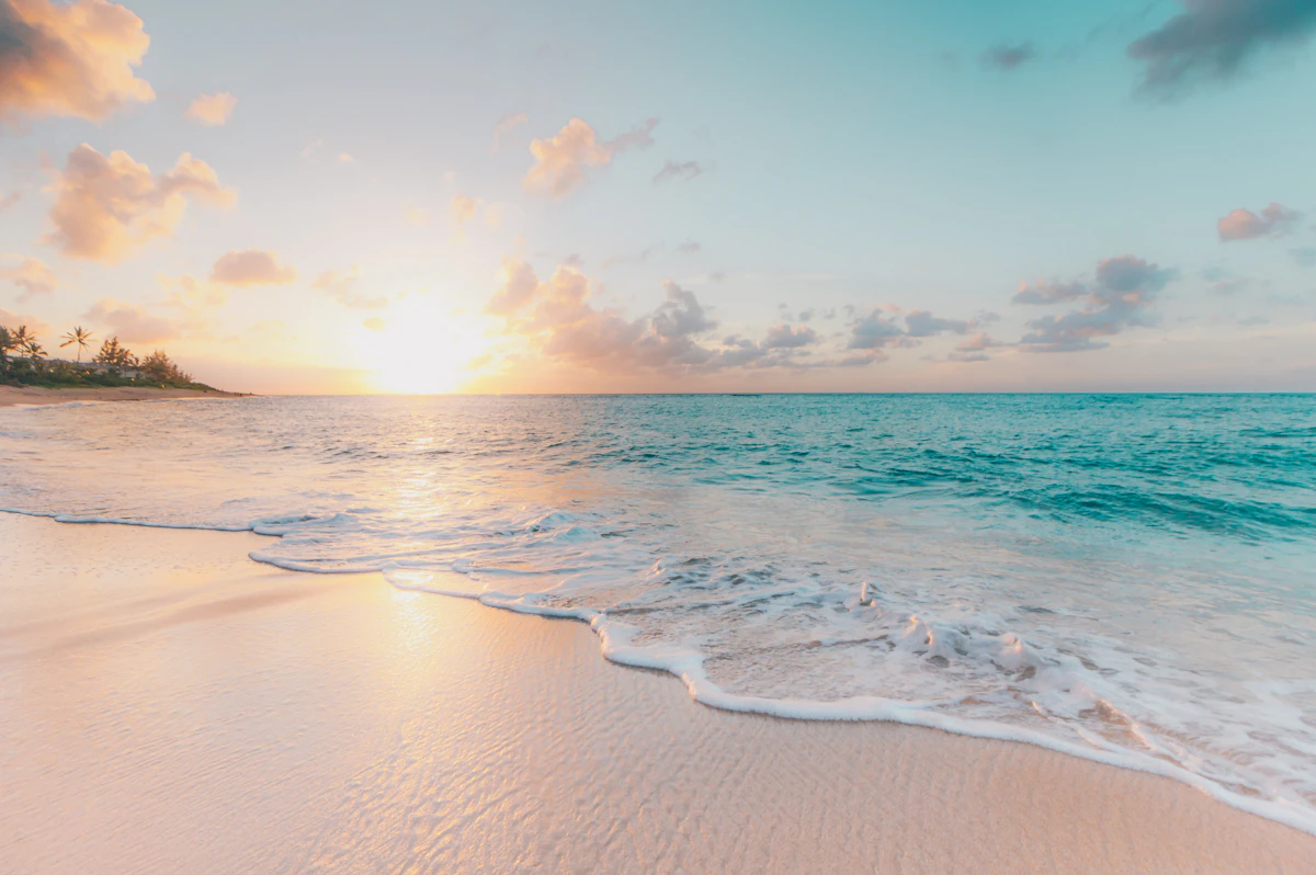
Wide white-sand beach with footprints
Warm Gulf water year-round
Fresh shrimp from local boats
Industrial skyline meets Gulf sky
Where it is
Port Bolivar Beach
Port Bolivar, Texas, USA
29.379800°, -94.771900°
Weather
Loading…
Swell
—
Temp
Warm · Restorative
UV Index
Moderate
Wind
—
Tidal State
Last known
Max Sunlight
—
Ideal Shade
—
May - Sep (Peak)
Jan - Dec (Off-season)
Historical data suggests peak visibility and stable sea temperatures occur during the prime visitation window.
Select a category to load nearby places.
Unlock restaurants, luxury stays and curated maritime experiences within 2km
Port Bolivar Beach offers calm Gulf waters suitable for swimming, though conditions vary with weather and tides. The beach lacks lifeguards, so swim at your own risk and supervise children closely. Water clarity can be limited due to the proximity of Galveston Bay and ship channel activity. Check local weather forecasts and tide schedules before visiting. Jellyfish may be present seasonally, particularly in summer months. The beach's protected location near the ferry landing generally provides gentler waves than more exposed Gulf beaches.
Port Bolivar Beach is accessible year-round, with spring (March-May) and fall (September-November) offering the most comfortable temperatures and fewer crowds. Summer brings warm Gulf waters ideal for swimming but higher humidity and occasional afternoon thunderstorms. Winter remains mild compared to northern states, though water temperatures drop and winds increase. The beach is renowned for spectacular sunsets over Galveston Bay throughout the year. Weekdays tend to be quieter than weekends, and visiting during low tide exposes more sandy shoreline for beach activities.
Port Bolivar Beach is located near the free Galveston-Bolivar Ferry landing on the Bolivar Peninsula. From Houston, take I-45 south to Galveston, then board the ferry (approximately 20-minute crossing). The beach is immediately accessible after exiting the ferry. Free parking is available along the beachfront and adjacent streets near the ferry terminal. Parking can fill quickly on summer weekends and holidays. The beach is also accessible by driving around Galveston Bay via Highway 87 and State Highway 124, though this route is significantly longer.
Port Bolivar Beach has limited on-site amenities, so plan accordingly. Basic restrooms are available near the ferry landing area. Several casual restaurants and seafood spots operate in nearby Crystal Beach and the greater Bolivar Peninsula, typically a short drive away. No major hotels exist directly at Port Bolivar Beach; lodging options include vacation rentals, beach houses, and small motels scattered along the peninsula. Visitors often bring their own food, drinks, and beach equipment. The nearest full-service grocery stores are in Galveston or Winnie.
Yes, watching the free Galveston-Bolivar Ferry is a unique attraction at Port Bolivar Beach. The ferry terminal sits adjacent to the beach, allowing visitors to observe the large vessels crossing Galveston Bay every 15-20 minutes during peak times. Many beachgoers enjoy watching dolphins that frequently follow the ferries and swim in the ship channel. The ferry viewing combined with sunset creates particularly scenic photo opportunities. This working ferry operation adds maritime character that distinguishes Port Bolivar Beach from other Texas Gulf Coast beaches and entertains children fascinated by large boats.
Photos