
Counting the waves…
Counting the waves…
A refined fusion of water purity, environmental stability, and communal vibrancy for Playa Boca de Tuja.
View MethodologyAnalyzed via live sensors and environmental data.
Wave height, wind, and atmospheric stability.
Live footfall and crowd balance metrics.
Community reviews and curated sentiment.
“You'll arrive by boat to find a compact crescent where the Tuja river spreads across tawny sand. Mangroves frame the inlet, their roots darkening the shallows, while Henri Pittier's forested slopes lean close overhead.”
Limited recent visitor reports — live OBI telemetry is your best guide for current conditions.
The skiff rounds a headland draped in strangler figs, and suddenly the engine cuts. Ahead, a wedge of sand barely wider than two houses lies tucked between a river mouth and the sea, the water shifting from amber to slate green where currents collide. No road reaches this pocket of the Aragua coast; the jungle behind is too steep, the mangrove channels too tangled. You step onto beach that feels more riverbank than shoreline, driftwood logs bleached silver by salt and sun.
Wading out, you notice the water tastes faintly brackish—the river still asserting itself twenty metres from its mouth. Hermit crabs trace calligraphy across ribbed sand. A pair of black skimmers skim the surface film, lower mandibles slicing the glassy overlap where fresh meets salt. The air smells of leaf rot and brine in equal measure.
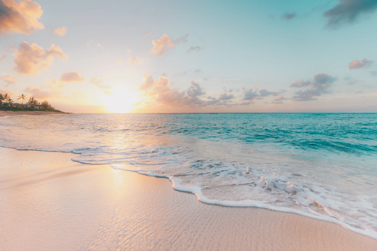
a body of water with a few clouds in the sky
Person walking on a sand spit
Through mangrove nursery channels
Herons, skimmers, howler troops
Where river braids with tide
Prime Visitation
Less Crowds | Budget Travel
Where it is
Playa Boca de Tuja
Tuja, Aragua, Venezuela
10.530600°, -67.477900°
Weather
Loading…
Swell
—
Temp
Warm · Restorative
UV Index
Moderate
Wind
—
Tidal State
Last known
Max Sunlight
—
Ideal Shade
—
Jan - Dec (Peak)
May - Nov (Off-season)
Less Crowds | Budget Travel
Select a category to load nearby places.
Unlock restaurants, luxury stays and curated maritime experiences within 2km
Small cove-drainage beaches where streams meet the sea offer variable swimming conditions. Water can be calmer than exposed coastline due to the cove protection, but drainage currents and freshwater mixing create localized flow patterns. After rains, runoff increases current strength and sediment load. Being a hidden, boat-access beach means no lifeguards or nearby emergency services. Always assess conditions before entering the water, avoid swimming alone, and stay alert to changing currents. The remote location requires self-reliance, so conservative judgment about swimming safety is essential.
Target Venezuela's dry season from December through April for optimal conditions and easier boat access. This hidden beach sees few crowds year-round, making it ideal for budget travelers seeking authentic, uncrowded experiences. Weekdays offer maximum solitude. The drainage aspect means clearer water during dry months when stream sediment is minimal. Rainy season can make the beach muddier and increase current strength at the river mouth. Budget travel designation suggests visiting during off-peak times when boat transport may be more negotiable and overall costs lower.
This beach requires boat access from coastal areas in Aragua, likely departing from Ocumare de la Costa or nearby settlements within the Henri Pittier National Park coastal zone. The Tuja area is remote, and generic map data often overlooks small cove-drainage beaches like this, so you'll need local knowledge. Contact fishermen or tour operators familiar with this specific coastline. The boat journey involves navigating to a small cove where a stream meets the sea. Precise directions from locals are valuable since standard mapping may not accurately represent this location.
Expect absolutely no facilities at this small, hidden cove-drainage beach. Tuja itself appears to be a minimal settlement within the Henri Pittier coastal drainage area with limited infrastructure. Pack all necessary supplies including food, water, shade equipment, and sun protection for a full day visit. Waste must be carried out. For accommodation and meals, stay in Ocumare de la Costa or other developed Aragua coastal towns where posadas and restaurants operate. This is a destination for adventurous, self-sufficient travelers comfortable with remote natural settings lacking amenities.
This beach represents a small-scale coastal ecosystem often missed in standard beach inventories—a cove where a stream meets the Caribbean. The combination of freshwater drainage and marine environments creates distinctive brackish conditions supporting unique biodiversity. Its obscurity even in mapping data means virtually no tourist traffic, offering authentic wilderness experiences. The scenic Henri Pittier National Park context provides dramatic mountain-meets-sea landscapes. For travelers seeking undiscovered spots rather than famous beaches, this hidden cove delivers genuine exploration. The boat-access requirement and minimal crowds appeal to budget adventurers willing to venture off standard routes.
Photos