
Counting the waves…
Counting the waves…
A refined fusion of water purity, environmental stability, and communal vibrancy for Playa Boca de Puerto Maya.
View MethodologyAnalyzed via live sensors and environmental data.
Wave height, wind, and atmospheric stability.
Live footfall and crowd balance metrics.
Community reviews and curated sentiment.
“Small, secretive, and tucked where the Puerto Maya creek empties into the sea, this sliver of beach earns its reputation on sunsets alone. The river braids across the sand in shifting channels, and by late afternoon the…”
Limited recent visitor reports — live OBI telemetry is your best guide for current conditions.
The boat noses through a gap in the rocks and there it is: a narrow crescent where the creek from Puerto Maya meets the Caribbean, the sand dark gold and tracked with watermarks from the morning's higher tide. This isn't a beach for sprawling; it's intimate by necessity, boxed in by headlands and backdropped by steep, jungled slopes that trap the heat and the sound of the creek tumbling over stones. You'll share it with no one or with a single local family who knows the boat schedule and times their visit to avoid everyone else.
The creek mouth shifts constantly. Some weeks it cuts a deep channel through the center of the beach, forcing you to wade thigh-deep to reach the far side. Other times it spreads thin and lazy, braiding into deltas you can hop across on exposed stones. The mixing zone—where fresh water fans across salt—attracts small fish, which in turn attract egrets and the occasional kingfisher. The sand near the waterline is packed firm and cool underfoot, still damp from the creek's most recent course correction.
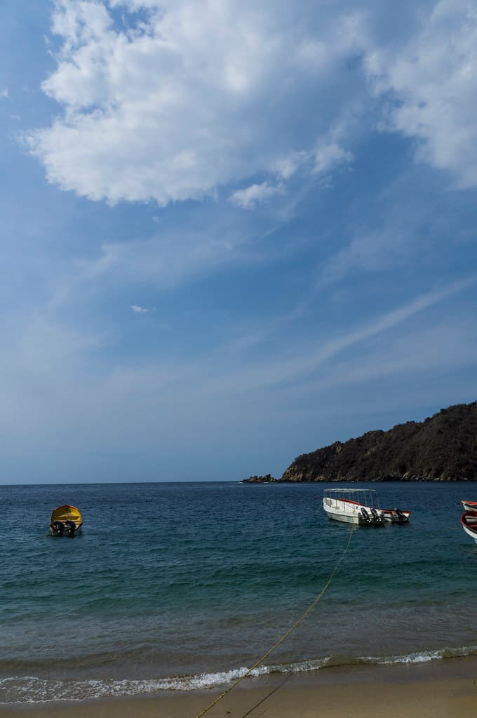
Long-tail boats moored in clear water
Crystal lagoon with rocky outcrop
Framed by headlands and creek
Where fresh braids into salt
To shaded freshwater pools
Prime Visitation
Less Crowds | Budget Travel
Where it is
Playa Boca de Puerto Maya
Puerto Maya, La Guaira, Venezuela
10.545800°, -67.421600°
Weather
Loading…
Swell
—
Temp
Warm · Restorative
UV Index
Moderate
Wind
—
Tidal State
Last known
Max Sunlight
—
Ideal Shade
—
Jan - Dec (Peak)
May - Nov (Off-season)
Less Crowds | Budget Travel
Near Playa Boca de Puerto Maya
Explore dining, stays, nightlife, and activities near Playa Boca de Puerto Maya in Puerto Maya, Venezuela. Every listing below is a real place linked to this beach — open a card for reviews, maps, and booking options.
Stays and lodging options near Playa Boca de Puerto Maya for your beach trip.
Activities, tours, and attractions near Playa Boca de Puerto Maya.
Select a category to load nearby places.
Unlock restaurants, luxury stays and curated maritime experiences within 2km
Swimming conditions at river-mouth beaches vary significantly depending on currents, river discharge, and wave action. Where freshwater meets the ocean, currents can be unpredictable, especially after rainfall when river flow increases. Always observe water conditions before entering, avoid swimming during rough seas or heavy rains, and stay close to shore. Since this is a remote beach with boat access, emergency services may be far away, so exercise extra caution and never swim alone.
The dry season, typically December through April, offers calmer seas and better weather for boat access. Budget travelers will find fewer crowds during weekdays and outside Venezuelan holiday periods. Sunset visits are particularly rewarding given the beach's orientation. River-mouth beaches can be muddier during rainy season when river sediment increases, so visiting during drier months generally provides clearer water and better conditions for enjoying this hidden coastal spot.
This beach requires boat access, as indicated by its remote location on Venezuela's western coast near La Guaira. You'll typically need to arrange boat transport from nearby coastal towns in the Puerto Maya area or from larger ports in La Guaira state. The journey involves navigating along the coast, so sea conditions matter. Contact local fishermen or tour operators in advance to arrange transport. Road access to this section of coast is extremely limited, making boat travel essential.
Given its remote, hidden nature and boat-access requirement, don't expect facilities directly at the beach. Puerto Maya may offer basic lodging and local food options, but amenities are likely minimal. Most visitors either day-trip from larger towns in La Guaira or come prepared with their own supplies. Pack food, water, and sun protection for your visit. For overnight stays, you'll likely need to return to more developed coastal towns where guesthouses and restaurants are available.
This river-mouth beach represents a distinct coastal ecosystem where freshwater meets the Caribbean. The convergence creates unique conditions not found at typical ocean beaches—brackish water, different marine life, and dynamic sediment patterns. Its hidden, boat-access-only nature means far fewer visitors than accessible beaches. The scenic setting, particularly at sunset, combined with its remote location along the transitional zone between La Guaira and Aragua states, offers adventurous travelers an authentic, uncrowded experience. However, note that it may have merged with nearby Playa Puerto Maya.
Photos