
Counting the waves…
Counting the waves…
A refined fusion of water purity, environmental stability, and communal vibrancy for Playa Punta Maya.
View MethodologyAnalyzed via live sensors and environmental data.
Wave height, wind, and atmospheric stability.
Live footfall and crowd balance metrics.
Community reviews and curated sentiment.
“Volcanic stone meets the Caribbean in angular formations that trap seawater in waist-deep basins. At your feet, anemones pulse. Above, pelicans stream toward roosts. Behind, the road ends.”
Limited recent visitor reports — live OBI telemetry is your best guide for current conditions.
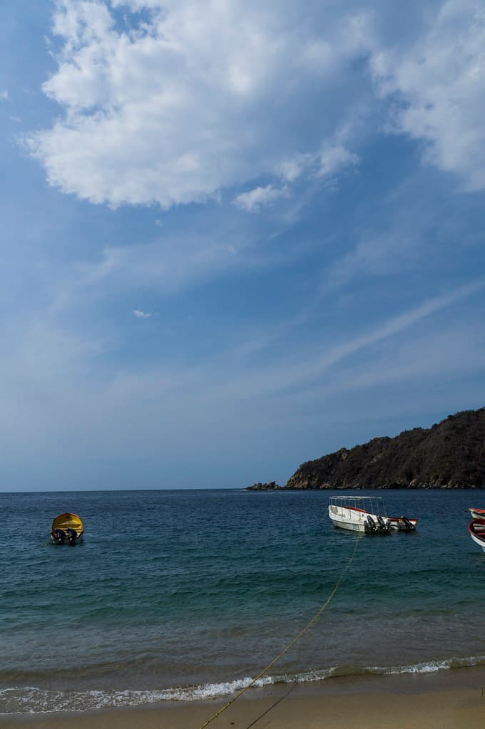
Punta Maya isn't a beach for sprawling on towels—it's a shoreline for tidal exploration, for watching water behavior against unyielding stone. The point juts seaward where La Guaira transitions toward Aragua, a geology lesson in black basalt shelves and tide-carved channels. During low water, you can walk the entire point, hopping between platforms that ring hollow beneath your footfalls, peering into pools where crabs scuttle and tiny fish hover in formation.
The scattered sand pockets between rock formations are coarse and flecked with shell fragments, more functional than luxurious. What Punta Maya offers instead is dynamic coastline—blowholes that geyser during swells, surge channels that flood and drain with metronomic precision, and unobstructed views east toward Carayaca's mountains and west where the coast curves toward infinity. Seabirds own the outer rocks: brown boobies, magnificent frigatebirds, the occasional tropicbird trailing its improbable tail.
Credit: FlickrTide Pool
Credit: FlickrPoint Walking
Macro photography in basins
Low-tide rock scrambling
Western horizon lights up
Prime Visitation
Best Weather | Less Crowds
Where it is
Playa Punta Maya
Puerto Maya, La Guaira, Venezuela
10.551200°, -67.407900°
Weather
Loading…
Swell
—
Temp
Warm · Restorative
UV Index
Moderate
Wind
—
Tidal State
Last known
Max Sunlight
—
Ideal Shade
—
Jan - Dec (Peak)
May - Nov (Off-season)
Best Weather | Less Crowds
Select a category to load nearby places.
Unlock restaurants, luxury stays and curated maritime experiences within 2km
Swimming at Playa Punta Maya requires caution due to its rocky shoreline and potential for strong currents around the point. Rocky beaches typically have uneven underwater terrain, slippery surfaces, and limited sandy entry areas. Wave action can be unpredictable near coastal points, creating stronger currents and undertows. Proper water shoes are highly recommended to protect feet from sharp rocks and sea urchins. This beach is better suited for experienced swimmers during calm conditions, and visitors should avoid the water during rough weather or high surf.
Playa Punta Maya is best visited during Venezuela's dry season from December to April when weather is most stable and seas are calmer for boat access. The beach is particularly notable for sunset views, making late afternoon visits ideal for photography enthusiasts. Weekdays and non-holiday periods offer the most solitude at this hidden location. Morning hours typically bring calmer seas, while late afternoon provides the best light and sunset opportunities. Avoid the rainy season months when rough seas can make boat transport difficult and skies are frequently overcast.
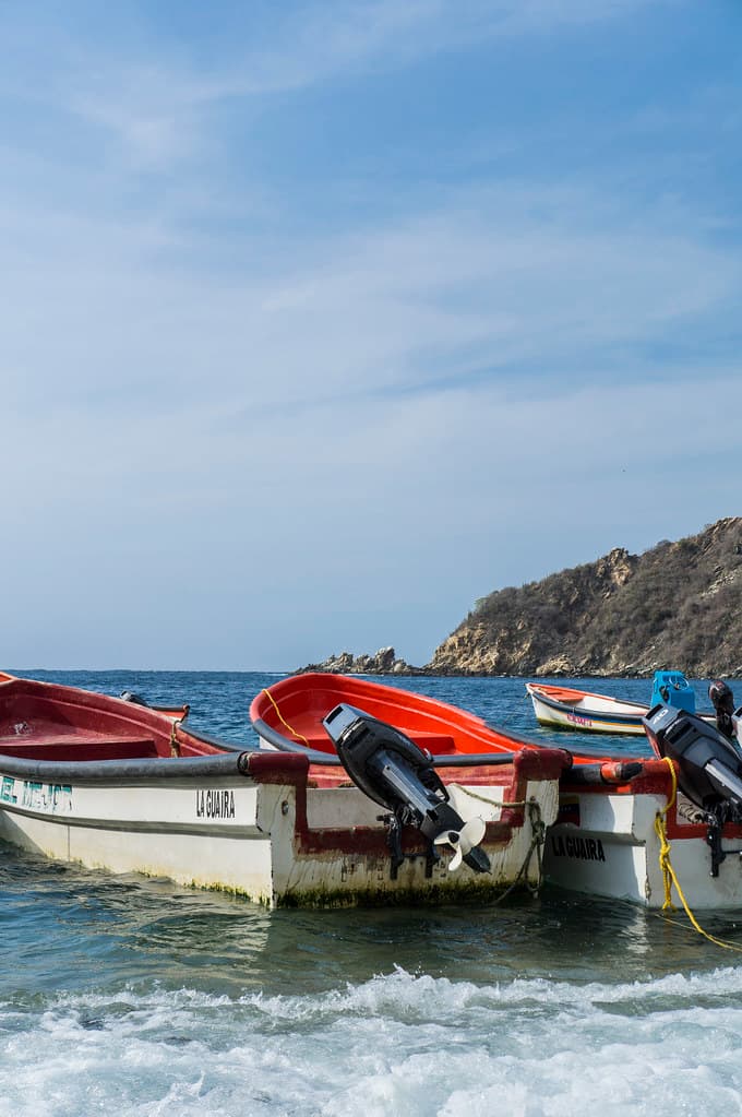
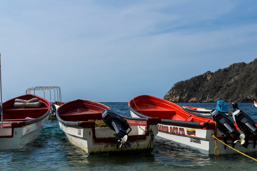
Access to Playa Punta Maya requires boat transportation, with departures typically available from nearby coastal communities in the La Guaira or western Aragua region. Local fishermen and tour operators provide boat services, though this remote location may require special arrangement rather than regular scheduled departures. The journey time varies depending on your departure point but generally takes 20-60 minutes. Coordinate round-trip transportation before departure, as boat traffic to this isolated point is minimal. Sea conditions significantly affect accessibility, so flexible scheduling is important.
Playa Punta Maya itself has no facilities, restaurants, or accommodation due to its remote rocky character. All food, beverages, and supplies must be brought with you for your visit. The nearest basic services and lodging are in Puerto Maya or other coastal villages in the region, where you'll find simple guesthouses and local dining options. Given the beach's isolation and lack of amenities, packing a complete picnic with plenty of water is essential. Remember to pack out all trash to preserve this pristine coastal environment.
Playa Punta Maya stands out for its dramatic rocky coastline and exceptional sunset views over the Caribbean. The point location creates unique landscape perspectives and photographic opportunities not found at typical sandy beaches. Its remote, boat-access-only nature ensures minimal crowds and an authentic wilderness experience. The rocky terrain attracts visitors interested in coastal geology, tide pool exploration, and dramatic seascapes rather than traditional beach activities. This hidden gem appeals to adventurous travelers seeking unspoiled natural beauty and peaceful solitude along Venezuela's western coastal transition zone.
Photos