
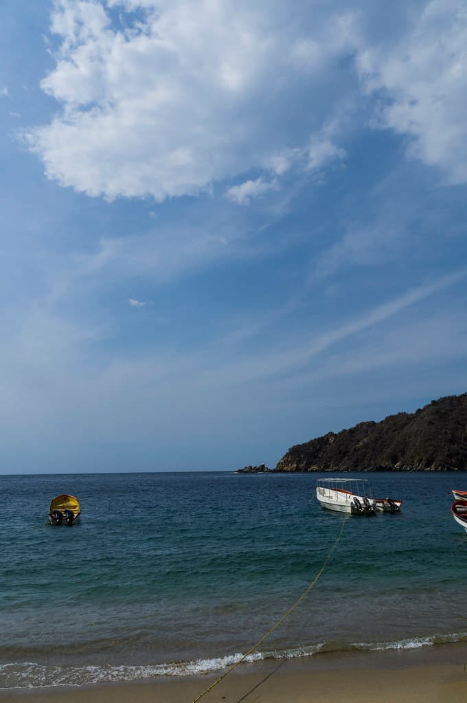
Punta Maya isn't a beach for sprawling on towels—it's a shoreline for tidal exploration, for watching water behavior against unyielding stone. The point juts seaward where La Guaira transitions toward Aragua, a geology lesson in black basalt shelves and tide-carved channels. During low water, you can walk the entire point, hopping between platforms that ring hollow beneath your footfalls, peering into pools where crabs scuttle and tiny fish hover in formation.
“The point's geometry creates a solar and lunar calendar in stone—each tide, each sunset, a different shoreline revealed.”
 Credit: Flickr
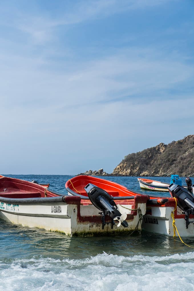
Playa Punta Maya — photo by danielito311
The scattered sand pockets between rock formations are coarse and flecked with shell fragments, more functional than luxurious. What Punta Maya offers instead is dynamic coastline—blowholes that geyser during swells, surge channels that flood and drain with metronomic precision, and unobstructed views east toward Carayaca's mountains and west where the coast curves toward infinity. Seabirds own the outer rocks: brown boobies, magnificent frigatebirds, the occasional tropicbird trailing its improbable tail.
Sunset reorients the entire experience. The western exposure means the sun descends straight into the sea, and the rock platforms become galleries for the show. Local families arrive with coolers, teenagers balance on the outer points for photos, and the light does things to the water that require witnessing rather than description—copper, rose, purple, then sudden darkness punctuated by fishing boat lanterns.


