
Counting the waves…
Counting the waves…
A refined fusion of water purity, environmental stability, and communal vibrancy for Mitchell River Beach.
View MethodologyAnalyzed via live sensors and environmental data.
Wave height, wind, and atmospheric stability.
Live footfall and crowd balance metrics.
Community reviews and curated sentiment.
“You reach Mitchell River Beach after a flight over spinifex and sandstone ranges, then a boat journey threading narrow channels where saltwater crocodiles bask on mudflats. The reward: a secluded ribbon of sand where…”
Limited recent visitor reports — live OBI telemetry is your best guide for current conditions.
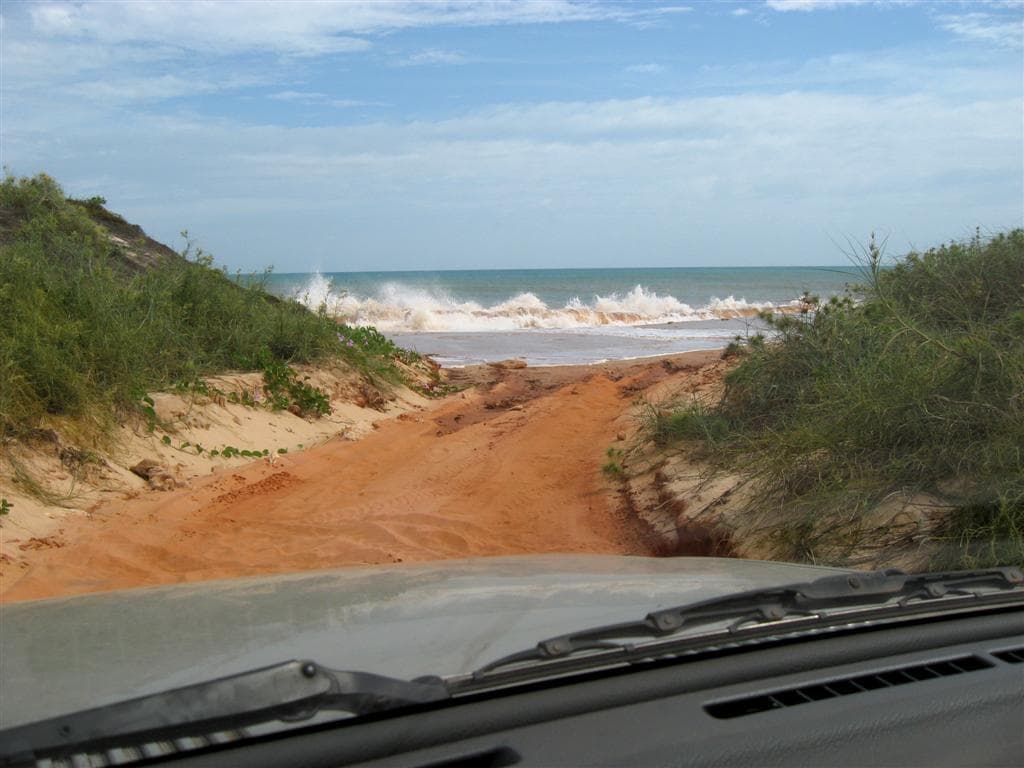
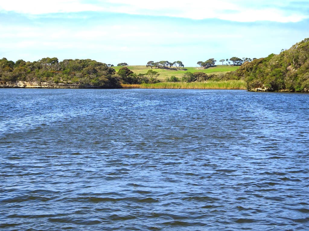
The beach reveals itself slowly. First comes the iron-rich soil staining the shoreline rust-orange, then the mangroves—gnarled, salt-tolerant sentinels framing tidal creeks. You step onto sand that shifts from pale gold to near-white depending on the angle of the Kimberly sun. The water here moves with purpose, driven by some of the world's most extreme tidal ranges; at low tide, vast flats emerge, ribbed and glistening.
This is not a place for casual crowds. The remoteness demands planning—charter flights from Broome, arranged boat transfers, awareness of seasons when the wet turns dirt roads to chocolate slurry. But that barrier filters out all but the genuinely curious. You'll share the beach with oystercatchers probing the shallows and the occasional fishing boat anchored offshore, its crew hauling barramundi from the estuary.
Capture patterns at low tide
Paddle sheltered creek networks
Walk exposed bars between tides
Where it is
Mitchell River Beach
Broome, Western Australia, Australia
-16.960000°, 122.756000°
Weather
Loading…
Swell
—
Temp
Warm · Restorative
UV Index
Moderate
Wind
—
Tidal State
Last known
Max Sunlight
—
Ideal Shade
—
May - Sep (Peak)
Jan - Dec (Off-season)
Historical data suggests peak visibility and stable sea temperatures occur during the prime visitation window.
Select a category to load nearby places.
Unlock restaurants, luxury stays and curated maritime experiences within 2km
Swimming conditions at Mitchell River Beach require caution. The Kimberley coast experiences strong tides, currents, and potential marine stingers during warmer months (November to May). Saltwater crocodiles inhabit the region, making swimming generally inadvisable without local guidance. The beach is better suited for wading, beachcombing, and enjoying scenic views. Always check local conditions, observe warning signs, and consult with tour operators or park rangers about current safety conditions. If swimming, stay close to shore and never swim alone or near river mouths where crocodiles are more common.
The dry season (April to October) offers the most comfortable conditions for visiting Mitchell River Beach, with clear skies, lower humidity, and temperatures around 25-30°C. Roads are more accessible during this period, as the wet season (November to March) can bring heavy rainfall, extreme heat, and road closures that make the area difficult or impossible to reach. May through September provides ideal weather for exploring the Kimberley coastline. The wet season offers dramatic scenery but requires careful planning and 4WD experience due to challenging conditions.
Mitchell River Beach is remote and accessible only by 4WD vehicle via the Kalumburu Road, approximately 530 kilometres north of Broome. The journey requires multiple days, high-clearance 4WD capability, and thorough preparation including spare fuel, supplies, and camping equipment. Access may be restricted during wet season. Limited parking exists near the beach access points. Many visitors join guided tours from Broome or stay at nearby Mitchell Falls, which provides easier access. Permits may be required for some sections. Always check road conditions before departure.
Mitchell River Beach has no commercial facilities, restaurants, or shops nearby. This is an extremely remote wilderness area requiring complete self-sufficiency. Visitors must bring all food, water, camping gear, and emergency supplies. The nearest basic facilities are at Mitchell Falls camping area, which offers bush camping with minimal amenities. Broome, over 500 kilometres away, is the closest town with full services, accommodation, and supplies. Most visitors camp at designated sites along the route or join multi-day guided tours that provide accommodation and meals as part of the package.
Mitchell Falls themselves are not visible from Mitchell River Beach, as they're located upstream along the Mitchell River system. However, the beach sits at the river's coastal outlet where it meets the Timor Sea, offering stunning views of the Kimberley coastline and river mouth. To see the spectacular Mitchell Falls, you'll need to take a separate excursion—either a helicopter flight or a challenging bushwalk inland. Many visitors combine both destinations in a multi-day Kimberley adventure, experiencing the dramatic waterfalls and the serene coastal beauty as part of one expedition.