

Counting the waves…
Counting the waves…
A refined fusion of water purity, environmental stability, and communal vibrancy for Playa Caño Uchire.
View MethodologyAnalyzed via live sensors and environmental data.
Wave height, wind, and atmospheric stability.
Live footfall and crowd balance metrics.
Community reviews and curated sentiment.
“You'll smell this beach before you see it—the rich, organic scent of tidal marsh and decomposing mangrove leaves. The shoreline here shifts with every tide, revealing new patterns of mud, shell, and root.”
Limited recent visitor reports — live OBI telemetry is your best guide for current conditions.
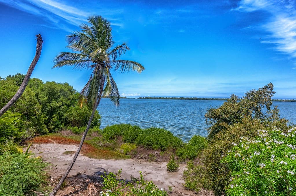
The channel runs brown and purposeful, carving a sinuous path through mangrove forest before spilling into the sea a kilometer downstream. Where you stand, on the channel's sandy margin, the "beach" is a hybrid zone: part mud flat, part shell-strewn sand, all of it alive with small crustaceans that leave intricate tracks in the wet surface. At low tide, the exposed bottom reveals a moonscape of crab burrows, bits of driftwood, and the occasional stranded fish. The air is thick with humidity and the calls of boat-tailed grackles.
Mangroves crowd both banks, their canopy creating tunnels of green that filter the sunlight into dappled patterns on the water. You'll see fishermen navigating the channel in narrow canoes, using poles to push through the shallower sections, their movements practiced and efficient. The water here is neither fully fresh nor fully salt—it's brackish, tasting of both the inland rains and the ocean's influence, and it stains your skin with fine sediment when you wade in.
Person walking on a sand spit
Aerial view of turquoise tropical bay
Gnarled roots, tidal patterns
Navigate mangrove tunnels
Observe crab behavior
Prime Visitation
Best Weather | Less Crowds
Where it is
Playa Caño Uchire
San Juan de Capistrano, Anzoátegui, Venezuela
10.105200°, -65.382700°
Weather
Loading…
Swell
—
Temp
Warm · Restorative
UV Index
Moderate
Wind
—
Tidal State
Last known
Max Sunlight
—
Ideal Shade
—
Jan - Dec (Peak)
May - Nov (Off-season)
Best Weather | Less Crowds
Near Playa Caño Uchire
Explore dining, stays, nightlife, and activities near Playa Caño Uchire in San Juan de Capistrano, Venezuela. Every listing below is a real place linked to this beach — open a card for reviews, maps, and booking options.
Food, cafés, and dining close to Playa Caño Uchire — curated from places linked to this beach.
Stays and lodging options near Playa Caño Uchire for your beach trip.
Activities, tours, and attractions near Playa Caño Uchire.
Select a category to load nearby places.
Unlock restaurants, luxury stays and curated maritime experiences within 2km
Swimming conditions at Playa Caño Uchire are generally calm due to its lagoon-channel setting, making it safer than open ocean beaches. However, currents can vary where the lagoon meets tidal flows, so observe water movement before entering. The shallow lagoon areas are typically suitable for wading and gentle swimming. As with any remote beach in Venezuela, travel with companions, avoid displaying valuables, and check current local safety conditions before visiting. Water quality can fluctuate depending on runoff and tidal exchange with the ocean.
The dry season from December through April offers the best weather conditions with less rainfall and more sunshine, making beach activities most enjoyable. This period also coincides with fewer crowds since the beach remains relatively unknown. For spectacular sunset views—one of the beach's highlights—visit during clear weather months. Midweek visits typically ensure more solitude than weekends. The shoulder months of November and May can offer good conditions with even fewer visitors, though occasional rain showers are possible.
Playa Caño Uchire is located near San Juan de Capistrano in Anzoátegui state, accessed via roads connecting to the Boca de Uchire area. From major cities like Barcelona or Puerto La Cruz, travel east along coastal routes toward Píritu, then follow local roads to San Juan de Capistrano. A private vehicle or hired driver is recommended as public transportation to this hidden beach is limited. Roads may be unpaved in sections, so check current conditions. The journey requires careful navigation and asking locals for specific directions to this lesser-known lagoon beach.
As a hidden, remote beach, Playa Caño Uchire has very limited on-site facilities. Visitors should plan to bring their own food, water, and supplies. The nearby town of Boca de Uchire may have small local eateries serving traditional Venezuelan coastal cuisine and basic provisions. Accommodations are sparse in the immediate area; budget-friendly posadas or guesthouses might be found in Boca de Uchire or larger towns like Píritu. Many visitors make this a day trip from more developed coastal areas. Always confirm availability in advance and consider bringing camping equipment if planning overnight stays.
Playa Caño Uchire's distinctive lagoon-channel geography sets it apart from typical ocean beaches. The interplay between freshwater channels and tidal lagoons creates a unique ecosystem with calmer waters and diverse birdlife. Its position along the transition coast near Boca de Uchire offers scenic views where lagoon meets sea. The beach remains genuinely hidden and undeveloped, providing an authentic, uncrowded experience. Sunset viewing is exceptional here, with the lagoon's reflective waters creating dramatic colors. This is a destination for nature lovers seeking tranquility rather than tourist amenities or beach services.
Photos